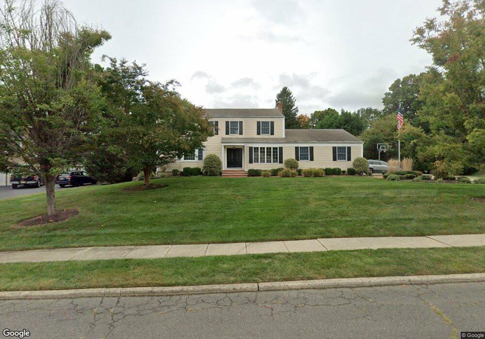
40 Ravine Rd Red Bank, NJ 07701
New Monmouth NeighborhoodEstimated Value: $1,111,096 - $1,248,000
5
Beds
2
Baths
2,861
Sq Ft
$417/Sq Ft
Est. Value
About This Home
This home is located at 40 Ravine Rd, Red Bank, NJ 07701 and is currently estimated at $1,192,524, approximately $416 per square foot. 40 Ravine Rd is a home located in Monmouth County with nearby schools including Nut Swamp Elementary School, Thompson Middle School, and Middletown - South High School.
Ownership History
Date
Name
Owned For
Owner Type
Purchase Details
Closed on
Oct 23, 2009
Sold by
Estate Of Mary Belmonte and Alexander Christine A
Bought by
Merlino Victor and Merlino Margaret
Current Estimated Value
Home Financials for this Owner
Home Financials are based on the most recent Mortgage that was taken out on this home.
Original Mortgage
$417,000
Outstanding Balance
$272,016
Interest Rate
5.06%
Mortgage Type
New Conventional
Estimated Equity
$920,508
Create a Home Valuation Report for This Property
The Home Valuation Report is an in-depth analysis detailing your home's value as well as a comparison with similar homes in the area
Home Values in the Area
Average Home Value in this Area
Purchase History
| Date | Buyer | Sale Price | Title Company |
|---|---|---|---|
| Merlino Victor | $625,000 | Old Republic National Title |
Source: Public Records
Mortgage History
| Date | Status | Borrower | Loan Amount |
|---|---|---|---|
| Open | Merlino Victor | $417,000 |
Source: Public Records
Tax History Compared to Growth
Tax History
| Year | Tax Paid | Tax Assessment Tax Assessment Total Assessment is a certain percentage of the fair market value that is determined by local assessors to be the total taxable value of land and additions on the property. | Land | Improvement |
|---|---|---|---|---|
| 2025 | $16,136 | $997,300 | $476,300 | $521,000 |
| 2024 | $15,779 | $980,900 | $469,400 | $511,500 |
| 2023 | $15,779 | $907,900 | $401,900 | $506,000 |
| 2022 | $14,146 | $782,100 | $294,400 | $487,700 |
| 2021 | $14,146 | $680,100 | $246,300 | $433,800 |
| 2020 | $14,331 | $670,300 | $246,300 | $424,000 |
| 2019 | $14,429 | $683,200 | $246,300 | $436,900 |
| 2018 | $14,363 | $662,800 | $246,300 | $416,500 |
| 2017 | $13,914 | $655,100 | $246,300 | $408,800 |
| 2016 | $13,421 | $629,800 | $231,300 | $398,500 |
| 2015 | $13,395 | $627,100 | $231,300 | $395,800 |
| 2014 | $12,981 | $593,000 | $231,300 | $361,700 |
Source: Public Records
Map
Nearby Homes
- 11 Mayflower Dr
- 24 Princeton St
- 8 Allston St
- 44 Monroe St
- 833 Lincoln St
- 163 Lexington Ct
- 74 Fish Hawk Dr
- 143 Lexington Ct
- 109 Lexington Ct
- 0 Hamiltonian Dr Unit 22514980
- 126 Manchester Ct
- 304 April Way Unit 304
- 19 Manchester Ct
- 211 April Way Unit 211
- 11 Manchester Ct
- 7 Lexington Ct
- 17 Terry Ln
- 20 Devon Rd
- 50 Hancock Ct Unit 129B
- 164 Heights Terrace