Estimated Value: $435,230 - $597,000
--
Bed
--
Bath
2,401
Sq Ft
$209/Sq Ft
Est. Value
About This Home
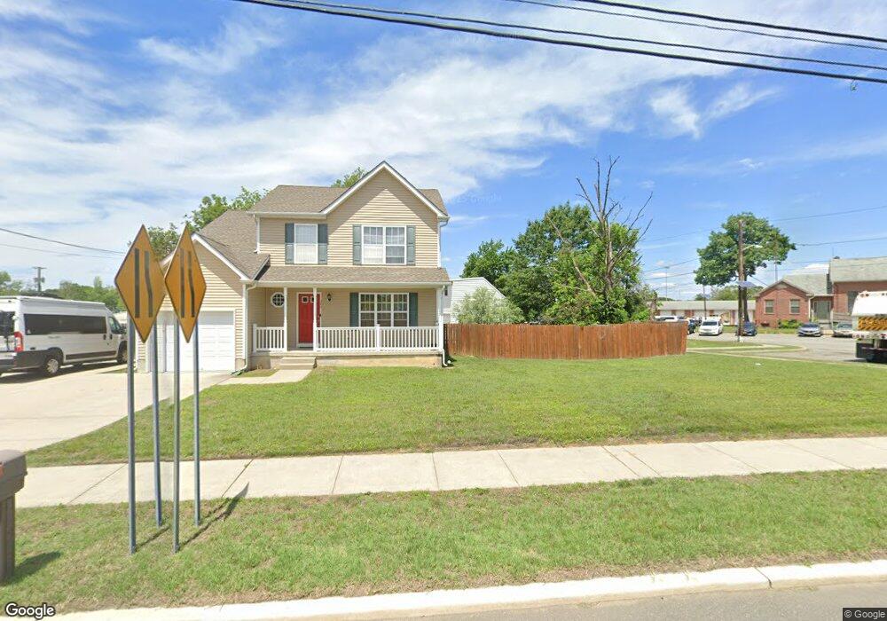
This home is located at 40 River Ln, West Deptford, NJ 08086 and is currently estimated at $500,808, approximately $208 per square foot. 40 River Ln is a home located in Gloucester County with nearby schools including Red Bank Elementary School, Green-Fields Elementary School, and Oakview Elementary School.
Ownership History
Date
Name
Owned For
Owner Type
Purchase Details
Closed on
Aug 28, 2006
Sold by
Brolley Patrick J
Bought by
Kane Eileen M
Current Estimated Value
Home Financials for this Owner
Home Financials are based on the most recent Mortgage that was taken out on this home.
Original Mortgage
$216,000
Outstanding Balance
$129,330
Interest Rate
6.71%
Mortgage Type
Purchase Money Mortgage
Estimated Equity
$371,478
Purchase Details
Closed on
May 16, 2003
Sold by
Brolley Patrick J and Brolley Kathleen A
Bought by
Brolley Patrick J and Brolley Kathleen A
Create a Home Valuation Report for This Property
The Home Valuation Report is an in-depth analysis detailing your home's value as well as a comparison with similar homes in the area
Home Values in the Area
Average Home Value in this Area
Purchase History
| Date | Buyer | Sale Price | Title Company |
|---|---|---|---|
| Kane Eileen M | $284,900 | -- | |
| Brolley Patrick J | -- | First American Title Ins Co |
Source: Public Records
Mortgage History
| Date | Status | Borrower | Loan Amount |
|---|---|---|---|
| Open | Kane Eileen M | $216,000 |
Source: Public Records
Tax History Compared to Growth
Tax History
| Year | Tax Paid | Tax Assessment Tax Assessment Total Assessment is a certain percentage of the fair market value that is determined by local assessors to be the total taxable value of land and additions on the property. | Land | Improvement |
|---|---|---|---|---|
| 2025 | $9,257 | $265,100 | $44,400 | $220,700 |
| 2024 | $9,138 | $265,100 | $44,400 | $220,700 |
| 2023 | $9,138 | $265,100 | $44,400 | $220,700 |
| 2022 | $9,096 | $265,100 | $44,400 | $220,700 |
| 2021 | $9,064 | $265,100 | $44,400 | $220,700 |
| 2020 | $9,043 | $265,100 | $44,400 | $220,700 |
| 2019 | $8,791 | $265,100 | $44,400 | $220,700 |
| 2018 | $8,552 | $265,100 | $44,400 | $220,700 |
| 2017 | $8,353 | $265,100 | $44,400 | $220,700 |
| 2016 | $8,120 | $265,100 | $44,400 | $220,700 |
| 2015 | $7,736 | $265,100 | $44,400 | $220,700 |
| 2014 | $7,351 | $265,100 | $44,400 | $220,700 |
Source: Public Records
Map
Nearby Homes
- 433 Crown Point Rd
- 439 Crown Point Rd
- 97 Church St
- 67 Pelican Place
- 10 Kennedy Ct
- 64 Tilden Rd
- 247 Crown Point Rd
- 124 Brent Ct
- 136 Sandpiper Ln
- 6 Phoebe Terrace
- 121 Cape May Ave
- 232 Snowy Egret Ln
- 253 Snowy Egret Ln
- 400 Audubon Ave
- 107 Audubon Ave
- 740 Carter Hill Dr
- 266 Passaic Ave
- 1810 Fernwood Dr
- 1311 Barnesdale Rd
- 4 Saint Emilion Ct
- 342 Crown Point Rd
- 42 River Ln
- 340 Crown Point Rd
- 342 Crown Point Rd
- 338 Crown Point Rd
- 332 Crown Point Rd
- 407 Crown Point Rd
- 330 Crown Point Rd
- 411 Crown Point Rd
- 116 River Ln
- 89 Railroad Ave
- 87 Railroad Ave
- 85 Railroad Ave
- 0 Crown Point Rd Unit 1006617646
- 0 Crown Point Rd Unit 1006277730
- 0 Crown Point Rd Unit 1006277650
- 0 Crown Point Rd Unit 5263171
- 0 Crown Point Rd Unit 5265155
- 0 Crown Point Rd Unit 5571762
- 0 Crown Point Rd Unit NJGL2039252