40 River Pointe Dr Logan, UT 84321
Wilson NeighborhoodEstimated Value: $352,737 - $412,000
2
Beds
3
Baths
2,013
Sq Ft
$185/Sq Ft
Est. Value
About This Home
This home is located at 40 River Pointe Dr, Logan, UT 84321 and is currently estimated at $371,934, approximately $184 per square foot. 40 River Pointe Dr is a home located in Cache County with nearby schools including Wilson School, Mount Logan Middle School, and Logan High School.
Ownership History
Date
Name
Owned For
Owner Type
Purchase Details
Closed on
Jan 12, 2024
Sold by
Judy Smith Revocable Trust
Bought by
Evert Shree L
Current Estimated Value
Purchase Details
Closed on
Jan 13, 2022
Sold by
Judy Smith
Bought by
Judy Smith Revocable Trust
Purchase Details
Closed on
Oct 9, 2018
Sold by
Nielson David
Bought by
Smith Roger and Smith Judy
Home Financials for this Owner
Home Financials are based on the most recent Mortgage that was taken out on this home.
Original Mortgage
$237,590
Interest Rate
4.5%
Mortgage Type
VA
Purchase Details
Closed on
Sep 18, 2017
Sold by
Wolford Patricia
Bought by
Nielson David
Home Financials for this Owner
Home Financials are based on the most recent Mortgage that was taken out on this home.
Original Mortgage
$142,450
Interest Rate
3.37%
Mortgage Type
FHA
Purchase Details
Closed on
Aug 9, 2016
Sold by
Vandyke Robert H and Vandyke Clara Neele
Bought by
Wolford Patricia
Purchase Details
Closed on
Aug 10, 2006
Sold by
Utah State University Development Founda
Bought by
Vandyke Bob
Create a Home Valuation Report for This Property
The Home Valuation Report is an in-depth analysis detailing your home's value as well as a comparison with similar homes in the area
Home Values in the Area
Average Home Value in this Area
Purchase History
| Date | Buyer | Sale Price | Title Company |
|---|---|---|---|
| Evert Shree L | -- | Us Title | |
| Judy Smith Revocable Trust | -- | None Listed On Document | |
| Smith Roger | -- | American Secure Title Logan | |
| Nielson David | -- | Land Title | |
| Wolford Patricia | -- | Advanced Title | |
| Vandyke Bob | -- | Cache Title Company |
Source: Public Records
Mortgage History
| Date | Status | Borrower | Loan Amount |
|---|---|---|---|
| Previous Owner | Smith Roger | $237,590 | |
| Previous Owner | Nielson David | $142,450 |
Source: Public Records
Tax History
| Year | Tax Paid | Tax Assessment Tax Assessment Total Assessment is a certain percentage of the fair market value that is determined by local assessors to be the total taxable value of land and additions on the property. | Land | Improvement |
|---|---|---|---|---|
| 2025 | $139 | $325,800 | $86,700 | $239,100 |
| 2023 | $1,493 | $324,100 | $85,000 | $239,100 |
| 2022 | $1,599 | $324,100 | $85,000 | $239,100 |
| 2021 | $1,579 | $272,000 | $80,000 | $192,000 |
| 2020 | $1,564 | $242,500 | $35,000 | $207,500 |
| 2019 | $1,350 | $200,228 | $35,000 | $165,228 |
| 2018 | $1,348 | $182,525 | $35,000 | $147,525 |
| 2017 | $1,348 | $96,525 | $0 | $0 |
| 2016 | $1,398 | $94,700 | $0 | $0 |
| 2015 | $1,373 | $94,700 | $0 | $0 |
| 2014 | $1,241 | $94,700 | $0 | $0 |
| 2013 | -- | $94,700 | $0 | $0 |
Source: Public Records
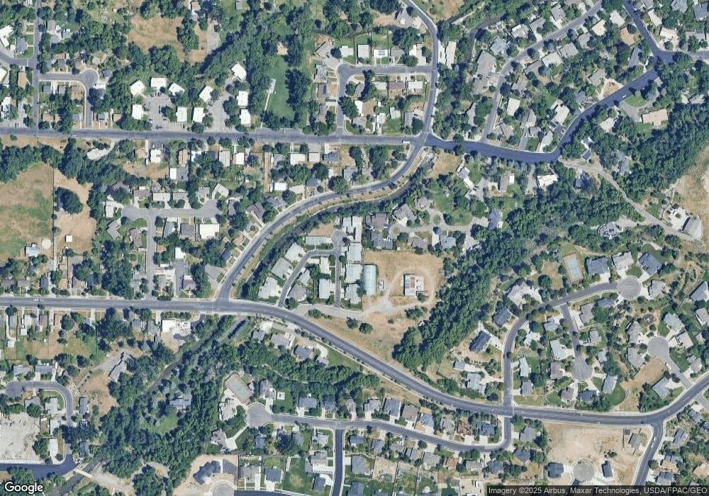
Map
Nearby Homes
- 28 River Pointe Dr
- 70 River Pointe Dr
- 1164 E Mountain Rd
- 74 Canterbury Cir
- 664 E Center St
- 45 River Circle Dr
- 1034 Thrushwood Dr
- 1045 Fox Farm Rd
- 684 Apple Dr
- 2758 N Canyon Cove Dr
- 2738 N Canyon Cove Dr
- 1147 Eastridge Dr
- 622 Canyon Rd
- 128 S 1170 E
- 545 E Boulevard St
- 665 E 400 S
- 426 E 200 S
- 585 E 400 S
- 1374 E 260 N
- 227 N 400 E
- 34 River Pointe Dr
- 46 River Pointe Dr
- 52 River Pointe Dr
- 70 Conifer Place
- 22 River Pointe Dr
- 22 River Pointe Dr Unit 2A
- 58 N River Pointe Dr
- 33 River Pointe Dr
- 58 N River Point Dr
- 60 Conifer Place Unit 8
- 60 Conifer Place
- 64 River Pointe Dr
- 16 River Pointe Dr
- 21 N River Pointe Cricle
- 10 River Pointe Dr
- 85 River Pointe Dr Unit 8B
- 85 River Pointe Dr Unit 16
- 85 River Pointe Dr
- 15 River Pointe Dr
- 50 Conifer Place
Your Personal Tour Guide
Ask me questions while you tour the home.