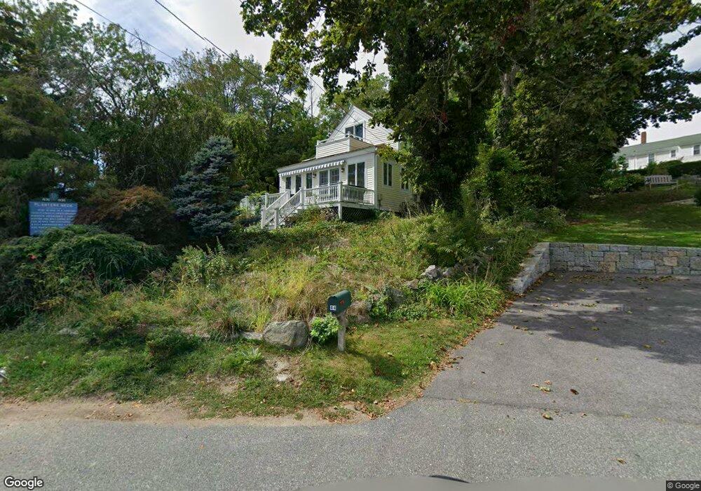
40 River Rd Gloucester, MA 01930
Annisquam NeighborhoodEstimated Value: $1,153,000 - $2,129,000
3
Beds
1
Bath
1,458
Sq Ft
$1,191/Sq Ft
Est. Value
About This Home
This home is located at 40 River Rd, Gloucester, MA 01930 and is currently estimated at $1,736,646, approximately $1,191 per square foot. 40 River Rd is a home located in Essex County with nearby schools including Plum Cove School, Ralph B O'maley Middle School, and Gloucester High School.
Ownership History
Date
Name
Owned For
Owner Type
Purchase Details
Closed on
Feb 28, 2024
Sold by
Houlihan Christopher D and Whitlock Beth B
Bought by
Beth Whitlock Ft and Whitlock
Current Estimated Value
Purchase Details
Closed on
Apr 16, 2021
Sold by
Mittnacht Marcia M and Moscovitch Edward H
Bought by
Houlihan Christopher D and Whittlock Beth B
Home Financials for this Owner
Home Financials are based on the most recent Mortgage that was taken out on this home.
Original Mortgage
$548,000
Interest Rate
3%
Mortgage Type
Purchase Money Mortgage
Purchase Details
Closed on
Jul 15, 1994
Sold by
Duca Meredith C and Duca Richard
Bought by
Moscovitch Edward and Mittnacht Marcia
Create a Home Valuation Report for This Property
The Home Valuation Report is an in-depth analysis detailing your home's value as well as a comparison with similar homes in the area
Home Values in the Area
Average Home Value in this Area
Purchase History
| Date | Buyer | Sale Price | Title Company |
|---|---|---|---|
| Beth Whitlock Ft | -- | None Available | |
| Houlihan Christopher D | $1,270,000 | None Available | |
| Moscovitch Edward | $297,000 | -- |
Source: Public Records
Mortgage History
| Date | Status | Borrower | Loan Amount |
|---|---|---|---|
| Previous Owner | Houlihan Christopher D | $548,000 | |
| Previous Owner | Moscovitch Edward | $242,000 | |
| Previous Owner | Moscovitch Edward | $242,000 | |
| Previous Owner | Moscovitch Edward | $140,000 |
Source: Public Records
Tax History
| Year | Tax Paid | Tax Assessment Tax Assessment Total Assessment is a certain percentage of the fair market value that is determined by local assessors to be the total taxable value of land and additions on the property. | Land | Improvement |
|---|---|---|---|---|
| 2025 | $18,236 | $1,876,100 | $1,413,500 | $462,600 |
| 2024 | $17,731 | $1,822,300 | $1,346,300 | $476,000 |
| 2023 | $16,663 | $1,573,500 | $1,147,700 | $425,800 |
| 2022 | $15,760 | $1,343,600 | $997,800 | $345,800 |
| 2021 | $15,494 | $1,245,500 | $908,200 | $337,300 |
| 2020 | $15,055 | $1,221,000 | $908,200 | $312,800 |
| 2019 | $14,705 | $1,158,800 | $865,900 | $292,900 |
| 2018 | $14,453 | $1,117,800 | $844,800 | $273,000 |
| 2017 | $14,016 | $1,062,600 | $803,600 | $259,000 |
| 2016 | $13,682 | $1,005,300 | $769,100 | $236,200 |
| 2015 | $13,254 | $971,000 | $751,600 | $219,400 |
Source: Public Records
Map
Nearby Homes
- 672 Washington St
- 136 Leonard St
- 2 Breezy Point Rd
- 226 Atlantic St
- 178 Atlantic St
- 4 Ciaramitaro Ct
- 167 Atlantic St
- 7 Colburn St
- 13 Honeysuckle Rd
- 31 Echo Ave
- 9 Hickory St
- 1030 Washington St
- 43 High St Unit B
- 13 Mystic Ave
- 8 Mystic Ave
- 3 Rockland St
- 6 Monroe Ct
- 117 Bray St
- 98 Maplewood Ave
- 12 Arthur St
Your Personal Tour Guide
Ask me questions while you tour the home.