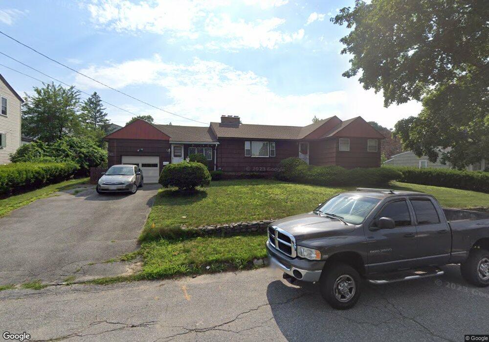
40 Rollins St Lawrence, MA 01841
Prospect Hill-Back Bay NeighborhoodEstimated Value: $518,000 - $598,000
3
Beds
1
Bath
1,496
Sq Ft
$374/Sq Ft
Est. Value
About This Home
This home is located at 40 Rollins St, Lawrence, MA 01841 and is currently estimated at $559,213, approximately $373 per square foot. 40 Rollins St is a home located in Essex County with nearby schools including School For Exceptional Studies, Community Day Charter Public School - Gateway, and Esperanza Academy School of Hope.
Ownership History
Date
Name
Owned For
Owner Type
Purchase Details
Closed on
Apr 22, 1993
Sold by
Kelly Barbara A
Bought by
Mccabe Edward
Current Estimated Value
Home Financials for this Owner
Home Financials are based on the most recent Mortgage that was taken out on this home.
Original Mortgage
$68,000
Interest Rate
7.45%
Mortgage Type
Purchase Money Mortgage
Create a Home Valuation Report for This Property
The Home Valuation Report is an in-depth analysis detailing your home's value as well as a comparison with similar homes in the area
Home Values in the Area
Average Home Value in this Area
Purchase History
| Date | Buyer | Sale Price | Title Company |
|---|---|---|---|
| Mccabe Edward | $85,000 | -- |
Source: Public Records
Mortgage History
| Date | Status | Borrower | Loan Amount |
|---|---|---|---|
| Closed | Mccabe Edward | $68,000 |
Source: Public Records
Tax History
| Year | Tax Paid | Tax Assessment Tax Assessment Total Assessment is a certain percentage of the fair market value that is determined by local assessors to be the total taxable value of land and additions on the property. | Land | Improvement |
|---|---|---|---|---|
| 2025 | $4,059 | $461,200 | $171,600 | $289,600 |
| 2024 | $3,748 | $405,200 | $150,800 | $254,400 |
| 2023 | $3,808 | $374,800 | $137,300 | $237,500 |
| 2022 | $3,741 | $327,000 | $130,000 | $197,000 |
| 2021 | $3,550 | $289,300 | $130,000 | $159,300 |
| 2020 | $3,596 | $289,300 | $130,000 | $159,300 |
| 2019 | $3,326 | $243,100 | $102,000 | $141,100 |
| 2018 | $3,261 | $227,700 | $100,000 | $127,700 |
| 2017 | $2,931 | $191,100 | $92,000 | $99,100 |
| 2016 | $3,015 | $194,400 | $87,000 | $107,400 |
| 2015 | $2,939 | $194,400 | $87,000 | $107,400 |
Source: Public Records
Map
Nearby Homes
- 106 Leroy Ave
- 270 E Haverhill St Unit 12
- 144 Ferry St
- 80 Ferry St Unit 80A
- 35 Swan Ave
- 24 Boylston St
- 5 Weisner Pkwy
- 15 Swan Ave
- 24 Court St
- 3 Thissell St
- 21 Oak St Unit A
- 160 1/2 East St
- 1 Riverview Blvd Unit 7-204
- 1 Riverview Blvd Unit 3-8
- 192 Union St
- 19-21 Pleasant Terrace
- 63 Lippold St
- 68 Ashford St
- 52 Howard St
- 89 Newbury St Unit 89B
- 36 Rollins St
- 46 Rollins St
- 46 Thornton St
- 34 Rollins St
- 34 Rollins St Unit 1
- 44 Thornton St
- 50 Thornton St
- 47 Rollins St
- 51 Rollins St
- 30 Rollins St Unit 32
- 45A Rollins St
- 40 Thornton St
- 71 William St
- 49 Thornton St
- 47 Thornton St
- 51 Thornton St
- 96 Leroy Ave
- 84 Leroy Ave
- 50 William St
- 45 Rollins St