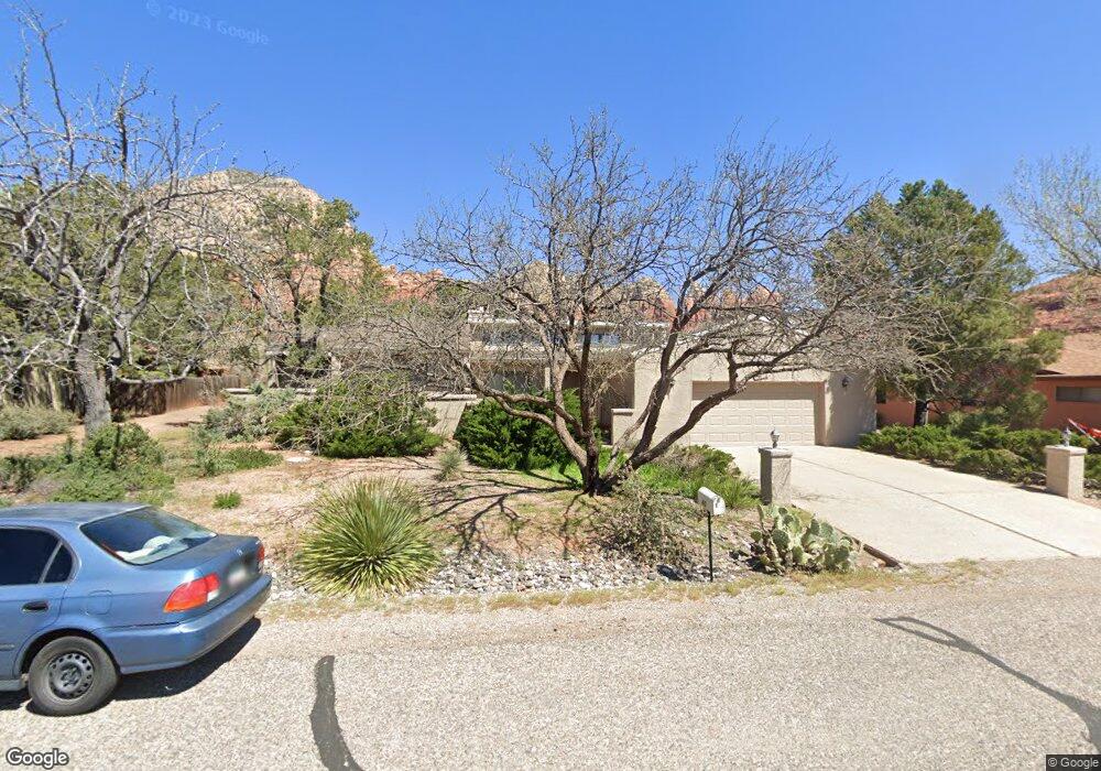
40 Roundup Dr Sedona, AZ 86336
Estimated Value: $804,420 - $1,197,000
3
Beds
3
Baths
2,033
Sq Ft
$485/Sq Ft
Est. Value
About This Home
This home is located at 40 Roundup Dr, Sedona, AZ 86336 and is currently estimated at $985,855, approximately $484 per square foot. 40 Roundup Dr is a home located in Yavapai County with nearby schools including West Sedona Elementary School, Sedona Red Rock Junior/Senior High School, and Sedona Charter School.
Ownership History
Date
Name
Owned For
Owner Type
Purchase Details
Closed on
Dec 5, 2011
Sold by
Friedman William J and Friedman Britt K
Bought by
Kuzmiak John M
Current Estimated Value
Home Financials for this Owner
Home Financials are based on the most recent Mortgage that was taken out on this home.
Original Mortgage
$250,000
Outstanding Balance
$170,441
Interest Rate
3.94%
Mortgage Type
New Conventional
Estimated Equity
$815,414
Purchase Details
Closed on
Dec 13, 1993
Sold by
Barber Dorothy A and Barber Leiss Dorothy A
Bought by
Parent Bruce C and Parent Jeanne C
Home Financials for this Owner
Home Financials are based on the most recent Mortgage that was taken out on this home.
Original Mortgage
$47,000
Interest Rate
7.24%
Mortgage Type
New Conventional
Create a Home Valuation Report for This Property
The Home Valuation Report is an in-depth analysis detailing your home's value as well as a comparison with similar homes in the area
Home Values in the Area
Average Home Value in this Area
Purchase History
| Date | Buyer | Sale Price | Title Company |
|---|---|---|---|
| Kuzmiak John M | $350,000 | Stewart Title & Trust Of Pho | |
| Parent Bruce C | $177,000 | Transamerica Title Ins Co |
Source: Public Records
Mortgage History
| Date | Status | Borrower | Loan Amount |
|---|---|---|---|
| Open | Kuzmiak John M | $250,000 | |
| Previous Owner | Parent Bruce C | $47,000 |
Source: Public Records
Tax History Compared to Growth
Tax History
| Year | Tax Paid | Tax Assessment Tax Assessment Total Assessment is a certain percentage of the fair market value that is determined by local assessors to be the total taxable value of land and additions on the property. | Land | Improvement |
|---|---|---|---|---|
| 2026 | $3,001 | $64,808 | -- | -- |
| 2024 | $2,992 | $71,106 | -- | -- |
| 2023 | $2,992 | $49,785 | $13,585 | $36,200 |
| 2022 | $2,860 | $41,722 | $12,837 | $28,885 |
| 2021 | $2,936 | $37,131 | $9,091 | $28,040 |
| 2020 | $2,935 | $0 | $0 | $0 |
| 2019 | $2,912 | $0 | $0 | $0 |
| 2018 | $2,770 | $0 | $0 | $0 |
| 2017 | $2,704 | $0 | $0 | $0 |
| 2016 | $2,651 | $0 | $0 | $0 |
| 2015 | -- | $0 | $0 | $0 |
| 2014 | -- | $0 | $0 | $0 |
Source: Public Records
Map
Nearby Homes
- 2200 Buckboard Rd
- 500 Sunshine Ln Unit 1
- 2190 Sanborn Dr
- 25 Edgewood Cir
- 2310 Corral Rd
- 2570 Blue Horizon Rd
- 40 Cliff View Ct
- 2680 Blue Horizon Rd
- 510 Concord Dr
- 55 Stations Dr W
- 160 Budd Way
- 280 Goodrow Ln
- 420 Windsong Dr
- 747 Mountain Shadows Dr
- 460 Coffee Pot Dr
- 30 Schimberg Rd
- 590 Rhapsody Rd
- 730 & 750 Rhapsody Rd
- 650 Rhapsody Rd Unit 20
- 640 Rhapsody Rd Unit 21