40 Rushmore Rd Effort, PA 18330
Estimated Value: $225,000 - $318,221
3
Beds
2
Baths
1,408
Sq Ft
$205/Sq Ft
Est. Value
About This Home
This home is located at 40 Rushmore Rd, Effort, PA 18330 and is currently estimated at $289,055, approximately $205 per square foot. 40 Rushmore Rd is a home located in Monroe County with nearby schools including Pleasant Valley Elementary School, Pleasant Valley Intermediate School, and Pleasant Valley Middle School.
Ownership History
Date
Name
Owned For
Owner Type
Purchase Details
Closed on
Dec 24, 2021
Sold by
Levit Oleg
Bought by
Edwards Charles and Edwards Natasha
Current Estimated Value
Home Financials for this Owner
Home Financials are based on the most recent Mortgage that was taken out on this home.
Original Mortgage
$260,200
Outstanding Balance
$239,348
Interest Rate
3.12%
Mortgage Type
FHA
Estimated Equity
$49,707
Purchase Details
Closed on
Jun 15, 2021
Sold by
Esopo Enrico
Bought by
Levit Oleg
Purchase Details
Closed on
Dec 19, 2006
Sold by
Midfirst Bank
Bought by
Esopo Enrico
Purchase Details
Closed on
Mar 1, 2006
Sold by
Pennington Timothy
Bought by
Midfirst Bank
Create a Home Valuation Report for This Property
The Home Valuation Report is an in-depth analysis detailing your home's value as well as a comparison with similar homes in the area
Home Values in the Area
Average Home Value in this Area
Purchase History
| Date | Buyer | Sale Price | Title Company |
|---|---|---|---|
| Edwards Charles | $265,000 | Keystone Premier Stlmt Svcs | |
| Levit Oleg | $99,000 | Pocono Area Abstract | |
| Esopo Enrico | $95,000 | American Dream Abstract | |
| Midfirst Bank | $912 | None Available |
Source: Public Records
Mortgage History
| Date | Status | Borrower | Loan Amount |
|---|---|---|---|
| Open | Edwards Charles | $260,200 |
Source: Public Records
Tax History
| Year | Tax Paid | Tax Assessment Tax Assessment Total Assessment is a certain percentage of the fair market value that is determined by local assessors to be the total taxable value of land and additions on the property. | Land | Improvement |
|---|---|---|---|---|
| 2025 | $705 | $96,150 | $16,290 | $79,860 |
| 2024 | $1,338 | $96,150 | $16,290 | $79,860 |
| 2023 | $2,308 | $90,790 | $16,290 | $74,500 |
| 2022 | $2,268 | $90,790 | $16,290 | $74,500 |
| 2021 | $2,268 | $90,790 | $16,290 | $74,500 |
| 2019 | $2,579 | $15,370 | $4,000 | $11,370 |
| 2018 | $2,579 | $15,370 | $4,000 | $11,370 |
| 2017 | $2,610 | $15,370 | $4,000 | $11,370 |
| 2016 | $515 | $15,370 | $4,000 | $11,370 |
Source: Public Records
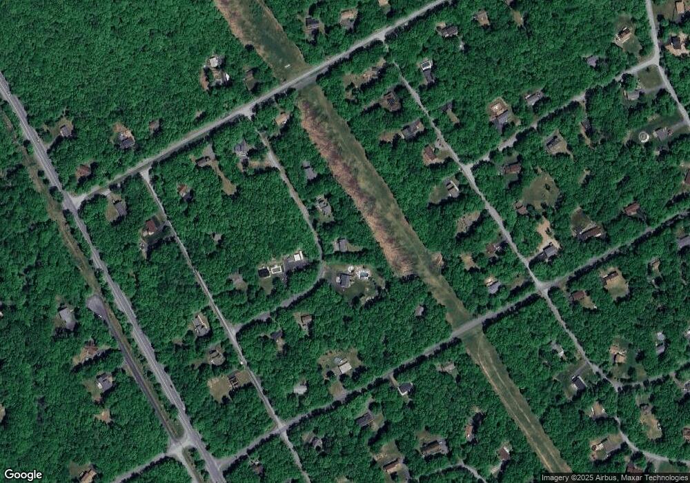
Map
Nearby Homes
- 171 Foothill Blvd
- lot 253 Service Rd
- Lot 103 Russell Ct
- 1912 Johns Rd
- 2641 Yellowstone Dr
- 0 Johns Rd 549 Rd N
- 232 Shenandoah Trail
- 2540 Allegheny Dr
- 322 Russell Ct
- 140 Alcott Ln
- 1392 Whispering Hills Ct
- 899 Lower Mountain Dr
- 0 Johns Rd Unit PM-136428
- 144 Shenkel Rd
- 226 Apache Dr
- 341 Donalds Rd
- 2551 Tacoma Dr 159 Dr
- 2443 Tacoma Dr
- 869 Toll Rd
- 7 Gooseberry Dr
- 122 Rushmore Rd
- 50 Rushmore Rd
- 41 Rushmore Rd
- 128 Rushmore Rd
- 39 Rushmore Rd
- Lot 51 Rushmore Rd
- 0 Rushmore Rd
- 52 Rushmore Rd
- 51 Rushmore Rd
- 48 Rushmore Rd
- 32 Matterhorn Dr
- 38 Rushmore Rd
- 33 Matterhorn Dr
- 1139 N Rocky Mountain Dr
- 31 Matterhorn Dr Unit 1
- 283 Matterhorn Dr
- 30 Matterhorn Dr Unit 1
- 51 Rocky Mountain Dr N
- 1129 N Rocky Mountain Dr
- 1 Rocky Mountain Dr N Unit 34
Your Personal Tour Guide
Ask me questions while you tour the home.