40 Russell Rd West Newfield, ME 04095
Newfield NeighborhoodEstimated Value: $387,314 - $506,000
--
Bed
--
Bath
--
Sq Ft
3.6
Acres
About This Home
This home is located at 40 Russell Rd, West Newfield, ME 04095 and is currently estimated at $434,771. 40 Russell Rd is a home with nearby schools including Massabesic High School.
Ownership History
Date
Name
Owned For
Owner Type
Purchase Details
Closed on
Oct 4, 2007
Sold by
Wernsdorfer John J
Bought by
Morin Linda M and Morin John A
Current Estimated Value
Home Financials for this Owner
Home Financials are based on the most recent Mortgage that was taken out on this home.
Original Mortgage
$133,200
Interest Rate
6.38%
Mortgage Type
Commercial
Create a Home Valuation Report for This Property
The Home Valuation Report is an in-depth analysis detailing your home's value as well as a comparison with similar homes in the area
Home Values in the Area
Average Home Value in this Area
Purchase History
| Date | Buyer | Sale Price | Title Company |
|---|---|---|---|
| Morin Linda M | -- | -- |
Source: Public Records
Mortgage History
| Date | Status | Borrower | Loan Amount |
|---|---|---|---|
| Open | Morin Linda M | $30,000 | |
| Open | Morin Linda M | $133,600 | |
| Closed | Morin Linda M | $133,200 |
Source: Public Records
Tax History Compared to Growth
Tax History
| Year | Tax Paid | Tax Assessment Tax Assessment Total Assessment is a certain percentage of the fair market value that is determined by local assessors to be the total taxable value of land and additions on the property. | Land | Improvement |
|---|---|---|---|---|
| 2024 | $3,666 | $310,700 | $59,800 | $250,900 |
| 2023 | $3,393 | $310,700 | $59,800 | $250,900 |
| 2022 | $3,032 | $310,700 | $59,800 | $250,900 |
| 2021 | $2,828 | $248,500 | $47,800 | $200,700 |
| 2020 | $8,118 | $224,000 | $47,800 | $176,200 |
| 2019 | $8,090 | $224,000 | $47,800 | $176,200 |
| 2018 | $2,451 | $224,000 | $47,800 | $176,200 |
| 2017 | $2,419 | $224,000 | $47,800 | $176,200 |
| 2016 | $2,030 | $224,000 | $47,800 | $176,200 |
| 2015 | $2,182 | $224,000 | $47,800 | $176,200 |
| 2014 | $1,823 | $196,000 | $56,300 | $139,700 |
| 2013 | $1,764 | $196,000 | $56,300 | $139,700 |
Source: Public Records
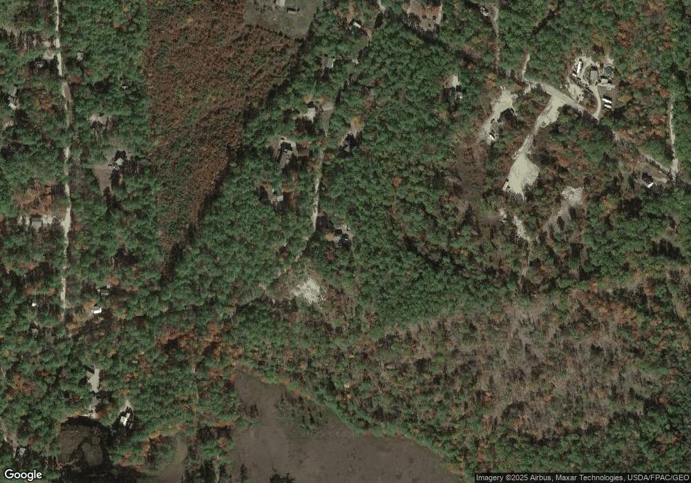
Map
Nearby Homes
- 51 Mill Pond Rd
- Parcel #1 Sanborn Rd
- 8 Eliot Dr
- 350 Concord Ln Unit 20
- 322 Concord Ln
- 62 Thoreau Trail
- TBD Wakefield Rd
- 30 Thoreau Trail
- 0 Whitehouse Rd
- 78 Glen Rd
- 2403 Province Lake Rd Unit 21000
- 86 Concord Ln
- 82 Robinhood Rd
- 29 Concord Ln
- 20 Shepard's Island Rd
- 0 Monique Dr Unit 5047887
- 0 Island Dr
- 420 Ballards Ridge Rd
- 149 Sleepy Hollow Rd
- 388 Belleau Blvd
- 45 Russell Rd
- 35 Russell Rd
- 18 Russell Rd
- 31 Russell Rd
- 23 Russell Rd
- 14 Russell Rd
- 342 Sanborn Rd
- Lot 9 Russell Rd
- Lot 2 Sanborn Rd
- Lot 3 Sanborn Rd
- 332 Sanborn Rd
- 315 Sanborn Rd
- 372 Sanborn Rd
- 121 Wildwood Rd
- 0 Wildwood Unit 4628719
- 0 Wildwood Rd Unit 4973262
- 0 Wildwood Rd Unit 4846325
- 185 Wildwood Rd
- 353 Sanborn Rd