40 Ryan Rd Whitehall, MT 59759
Estimated Value: $428,000 - $638,000
3
Beds
2
Baths
1,920
Sq Ft
$279/Sq Ft
Est. Value
About This Home
This home is located at 40 Ryan Rd, Whitehall, MT 59759 and is currently estimated at $535,145, approximately $278 per square foot. 40 Ryan Rd is a home located in Jefferson County with nearby schools including Whitehall Elementary School, Whitehall Middle School, and Whitehall High School.
Ownership History
Date
Name
Owned For
Owner Type
Purchase Details
Closed on
Sep 25, 2009
Sold by
Federal Home Loan Mortgage Corporation
Bought by
Spritzer Thomas
Current Estimated Value
Purchase Details
Closed on
Apr 27, 2009
Sold by
Shreffler Raphael M
Bought by
Federal Home Loan Mortgage Corporation
Purchase Details
Closed on
Mar 14, 2007
Sold by
S & C Corp
Bought by
Shreffler Raphael M
Home Financials for this Owner
Home Financials are based on the most recent Mortgage that was taken out on this home.
Original Mortgage
$225,000
Interest Rate
6.11%
Mortgage Type
Commercial
Create a Home Valuation Report for This Property
The Home Valuation Report is an in-depth analysis detailing your home's value as well as a comparison with similar homes in the area
Purchase History
| Date | Buyer | Sale Price | Title Company |
|---|---|---|---|
| Spritzer Thomas | $174,500 | Title Insurance Company | |
| Federal Home Loan Mortgage Corporation | -- | None Available | |
| Shreffler Raphael M | -- | Surety Title Llc |
Source: Public Records
Mortgage History
| Date | Status | Borrower | Loan Amount |
|---|---|---|---|
| Previous Owner | Shreffler Raphael M | $225,000 |
Source: Public Records
Tax History
| Year | Tax Paid | Tax Assessment Tax Assessment Total Assessment is a certain percentage of the fair market value that is determined by local assessors to be the total taxable value of land and additions on the property. | Land | Improvement |
|---|---|---|---|---|
| 2025 | $1,949 | $423,032 | $0 | $0 |
| 2024 | $2,336 | $353,180 | $0 | $0 |
| 2023 | $2,388 | $353,180 | $0 | $0 |
| 2022 | $2,042 | $250,918 | $0 | $0 |
| 2021 | $1,980 | $250,918 | $0 | $0 |
| 2020 | $1,765 | $219,744 | $0 | $0 |
| 2019 | $1,772 | $219,744 | $0 | $0 |
| 2018 | $1,642 | $198,487 | $0 | $0 |
| 2017 | $1,353 | $198,487 | $0 | $0 |
| 2016 | $1,322 | $171,376 | $0 | $0 |
| 2015 | $1,213 | $171,376 | $0 | $0 |
| 2014 | $1,154 | $90,533 | $0 | $0 |
Source: Public Records
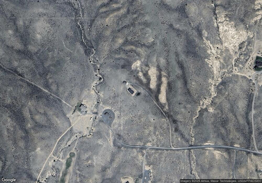
Map
Nearby Homes
- 210 Friend Spring Rd
- 1 Bonanza Place
- 1043 Montana 55
- 304 N Brooke St
- 201 S Brooke St
- 23 Holdsworth Rd
- 217 N Jefferson St
- 12 N Division St
- 205 S Main St
- 4 Rocky Mountain Dr
- 309 1st St E
- 27 Sugar Beet Row
- 10 Honor Ln
- TBD Friendspring Rd
- 117 Yellowstone Trail
- 135 Montana 2
- 842 Mt Highway 2 W
- 210 Friendspring Rd
- 24 Lower Rader Creek Rd
- 10 Lower Rader Creek Rd
- 20 Ryan Rd
- 5 Ryan Rd
- 1 Ryan Rd
- 240 Sheep Camp Rd
- 175 Sheep Camp Rd
- 0 Sheep Camp Rd
- 179 Sheep Camp Rd
- TBD Mt Hwy 2 W Whitehall
- 52 Mills Rd
- 143 Sheep Camp Rd
- 143 Sheep Camp Rd Unit Lot 11
- 40 Mills Rd
- NHN Mills Rd
- LOT 18 Mills Rd
- LOT 17 Mills Rd
- 175 Mills Rd
- 11 Mills Rd
- Lot 10 Mills Rd
- 145 Mills Rd
- 181 Mills Rd
Your Personal Tour Guide
Ask me questions while you tour the home.