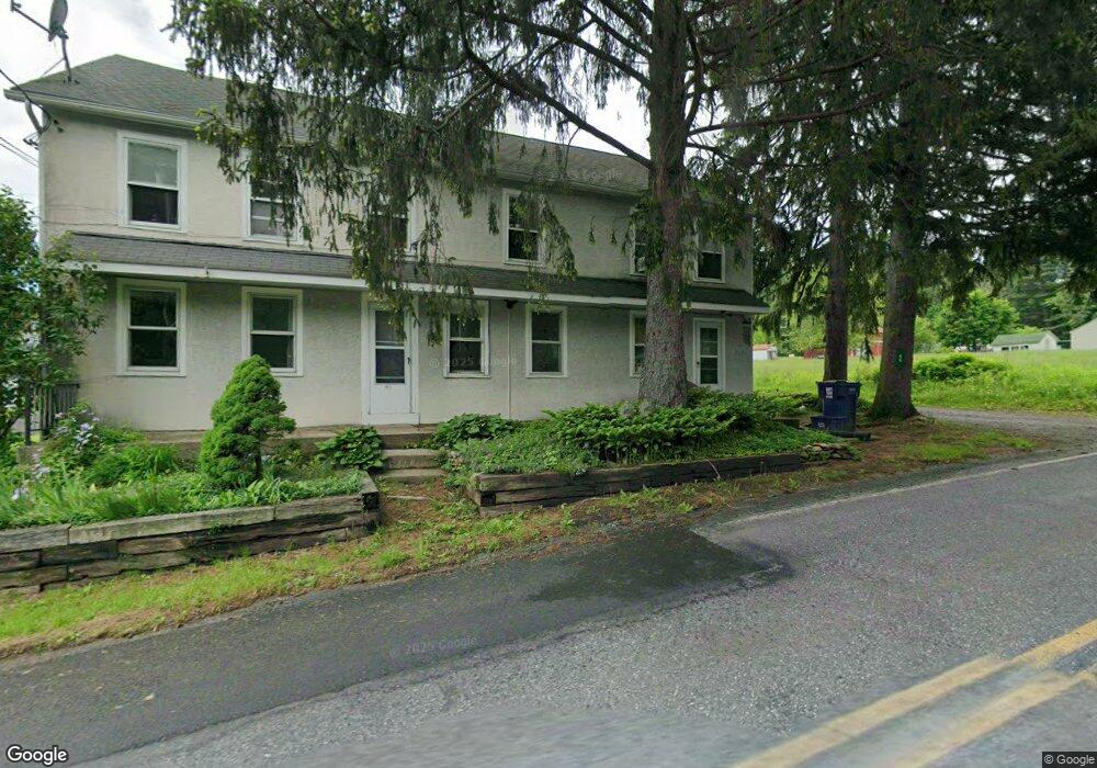
40 Saint Peters Rd MacUngie, PA 18062
Hereford NeighborhoodEstimated Value: $434,884 - $664,000
6
Beds
4
Baths
3,480
Sq Ft
$163/Sq Ft
Est. Value
About This Home
This home is located at 40 Saint Peters Rd, MacUngie, PA 18062 and is currently estimated at $565,721, approximately $162 per square foot. 40 Saint Peters Rd is a home located in Berks County with nearby schools including Upper Perkiomen 4th & 5th Grade Center, Upper Perkiomen Middle School, and Upper Perkiomen High School.
Ownership History
Date
Name
Owned For
Owner Type
Purchase Details
Closed on
Aug 20, 2002
Sold by
Brown Herbert L and Brown Mari
Bought by
Draklellis Odiseas I and Draklellis Jennifer L
Current Estimated Value
Home Financials for this Owner
Home Financials are based on the most recent Mortgage that was taken out on this home.
Original Mortgage
$107,600
Outstanding Balance
$48,605
Interest Rate
7.5%
Estimated Equity
$517,116
Create a Home Valuation Report for This Property
The Home Valuation Report is an in-depth analysis detailing your home's value as well as a comparison with similar homes in the area
Home Values in the Area
Average Home Value in this Area
Purchase History
| Date | Buyer | Sale Price | Title Company |
|---|---|---|---|
| Draklellis Odiseas I | $134,500 | -- |
Source: Public Records
Mortgage History
| Date | Status | Borrower | Loan Amount |
|---|---|---|---|
| Open | Draklellis Odiseas I | $107,600 | |
| Closed | Draklellis Odiseas I | $13,500 |
Source: Public Records
Tax History Compared to Growth
Tax History
| Year | Tax Paid | Tax Assessment Tax Assessment Total Assessment is a certain percentage of the fair market value that is determined by local assessors to be the total taxable value of land and additions on the property. | Land | Improvement |
|---|---|---|---|---|
| 2025 | $1,624 | $154,500 | $37,800 | $116,700 |
| 2024 | $1,521 | $154,500 | $37,800 | $116,700 |
| 2023 | $1,415 | $154,500 | $37,800 | $116,700 |
| 2022 | $1,415 | $154,500 | $37,800 | $116,700 |
| 2021 | $1,368 | $154,500 | $37,800 | $116,700 |
| 2020 | $1,368 | $154,500 | $37,800 | $116,700 |
| 2019 | $1,368 | $154,500 | $37,800 | $116,700 |
| 2018 | $1,368 | $154,500 | $37,800 | $116,700 |
| 2017 | $1,324 | $154,500 | $37,800 | $116,700 |
| 2016 | $1,298 | $154,500 | $37,800 | $116,700 |
| 2015 | $1,298 | $154,500 | $37,800 | $116,700 |
| 2014 | $1,262 | $154,500 | $37,800 | $116,700 |
Source: Public Records
Map
Nearby Homes
- 146 Mountain Village Dr
- 107 Haddon Dr
- 59 Mansfield Dr
- 83 Mansfield Dr
- 194 Haddon Dr
- 3088 Seisholtzville Rd
- 3130 Seisholtzville Rd
- LOT Township Rd
- 1108 S Barbara Dr
- 722 Franklin St
- 7451 Mount Vernon Dr
- 3351 Mathews Ln
- 38 Squaw Cir
- 428 Thomas St
- 241 Flint Hill Rd
- 867 Huffs Church Rd
- 354 W 2nd St
- 331 W 2nd St
- 120 W 2nd St
- 40 Saint Peters Rd Unit A
- 38 Saint Peters Rd
- 41 Saint Peters Rd
- 48 Saint Peters Rd
- 43 Saint Peters Rd
- 45 Saint Peters Rd
- 52 Saint Peters Rd
- 50 Saint Peters Rd
- 52 B St Peters Rd
- 52B Saint Peters Rd
- 42 St Peters Rd Unit A
- 55 Saint Peters Rd
- 2919 Seisholtzville Rd
- 2913 Seisholtzville Rd
- 35 Saint Peters Rd
- 2927 Seisholtzville Rd
- L6811 Seisholtzville Rd
- 0 Seisholtzville Rd Unit 7213360
- 0 Seisholtzville Rd Unit PABK2028726
- 2924 Seisholtzville Rd