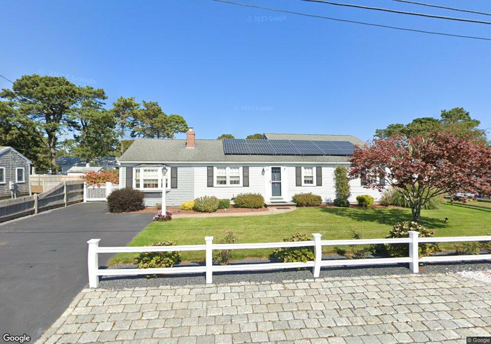
40 Santucket Rd West Dennis, MA 02670
West Dennis NeighborhoodEstimated Value: $998,000 - $1,116,585
4
Beds
2
Baths
1,680
Sq Ft
$634/Sq Ft
Est. Value
About This Home
This home is located at 40 Santucket Rd, West Dennis, MA 02670 and is currently estimated at $1,064,396, approximately $633 per square foot. 40 Santucket Rd is a home located in Barnstable County with nearby schools including Dennis-Yarmouth Regional High School and St. Pius X. School.
Ownership History
Date
Name
Owned For
Owner Type
Purchase Details
Closed on
Oct 7, 2010
Sold by
Bryant Stanley R and Bryant Carolann
Bought by
Trudo Gary S and Trudo Marian R
Current Estimated Value
Home Financials for this Owner
Home Financials are based on the most recent Mortgage that was taken out on this home.
Original Mortgage
$220,000
Outstanding Balance
$144,756
Interest Rate
4.37%
Mortgage Type
Purchase Money Mortgage
Estimated Equity
$919,640
Purchase Details
Closed on
Nov 8, 2004
Sold by
Red Maple T
Bought by
Bryant Carolann and Bryant Stanley R
Create a Home Valuation Report for This Property
The Home Valuation Report is an in-depth analysis detailing your home's value as well as a comparison with similar homes in the area
Home Values in the Area
Average Home Value in this Area
Purchase History
| Date | Buyer | Sale Price | Title Company |
|---|---|---|---|
| Trudo Gary S | $445,000 | -- | |
| Bryant Carolann | -- | -- |
Source: Public Records
Mortgage History
| Date | Status | Borrower | Loan Amount |
|---|---|---|---|
| Open | Trudo Gary S | $220,000 |
Source: Public Records
Tax History Compared to Growth
Tax History
| Year | Tax Paid | Tax Assessment Tax Assessment Total Assessment is a certain percentage of the fair market value that is determined by local assessors to be the total taxable value of land and additions on the property. | Land | Improvement |
|---|---|---|---|---|
| 2025 | $4,151 | $958,600 | $390,000 | $568,600 |
| 2024 | $3,762 | $857,000 | $312,500 | $544,500 |
| 2023 | $3,639 | $779,200 | $284,100 | $495,100 |
| 2022 | $3,493 | $623,700 | $255,900 | $367,800 |
| 2021 | $3,373 | $559,400 | $250,900 | $308,500 |
| 2020 | $3,410 | $559,000 | $278,800 | $280,200 |
| 2019 | $2,968 | $481,000 | $273,300 | $207,700 |
| 2018 | $2,685 | $423,500 | $234,200 | $189,300 |
| 2017 | $2,568 | $417,600 | $234,200 | $183,400 |
| 2016 | $2,835 | $434,200 | $239,400 | $194,800 |
| 2015 | $2,779 | $434,200 | $239,400 | $194,800 |
| 2014 | $2,602 | $409,700 | $218,600 | $191,100 |
Source: Public Records
Map
Nearby Homes
- 2 Rita Mary Way
- 14 Schoolhouse Ln
- 178 School St
- 209 Main St Unit 3
- 209 Main St Unit 6
- 209 Main St Unit 1
- 209 Main St Unit 2
- 209 Main St Unit 4
- 209 Main St Unit 5
- 23 Doric Ave
- 401 Main St Unit 201
- 401 Main St Unit 101
- 308 Old Main St
- 181 Pleasant St
- 45 Seth Ln
- 40 Kelley Rd
- 467 Main St
- 29 Bass River Rd
- 18 Turner Ln
- 6 Baker Way
- 36 Santucket Rd
- 44 Santucket Rd
- 163 Loring Ave
- 159 Loring Ave
- 167 Loring Ave
- 41 Santucket Rd
- 45 Santucket Rd
- 37 Santucket Rd
- 48 Santucket Rd
- 32 Santucket Rd
- 171 Loring Ave
- 155 Loring Ave
- 0 Loring Ave Unit 20512132
- 0 Loring Ave Unit 2040175
- 0 Loring Ave Unit 33 2031894
- 0 Loring Ave Unit 11506
- 0 Loring Ave Unit 20512620
- 0 Loring Ave Unit 1 2040555
- 0 Loring Ave
- 33 Santucket Rd