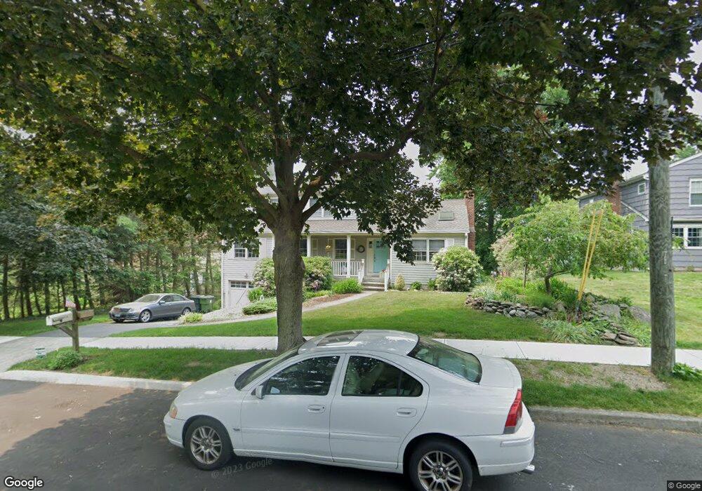
40 Shagbark Ln Fairfield, CT 06824
University NeighborhoodEstimated Value: $864,000 - $1,042,000
3
Beds
3
Baths
2,309
Sq Ft
$428/Sq Ft
Est. Value
About This Home
This home is located at 40 Shagbark Ln, Fairfield, CT 06824 and is currently estimated at $988,170, approximately $427 per square foot. 40 Shagbark Ln is a home located in Fairfield County with nearby schools including Holland Hill Elementary, Fairfield Woods Middle School, and Fairfield Ludlowe High School.
Ownership History
Date
Name
Owned For
Owner Type
Purchase Details
Closed on
Apr 3, 2025
Sold by
Kochi G D
Bought by
Kochi G D G and Kochi Catherine M
Current Estimated Value
Create a Home Valuation Report for This Property
The Home Valuation Report is an in-depth analysis detailing your home's value as well as a comparison with similar homes in the area
Home Values in the Area
Average Home Value in this Area
Purchase History
| Date | Buyer | Sale Price | Title Company |
|---|---|---|---|
| Kochi G D G | -- | None Available | |
| Kochi G D G | -- | None Available |
Source: Public Records
Tax History
| Year | Tax Paid | Tax Assessment Tax Assessment Total Assessment is a certain percentage of the fair market value that is determined by local assessors to be the total taxable value of land and additions on the property. | Land | Improvement |
|---|---|---|---|---|
| 2025 | $11,916 | $419,720 | $236,880 | $182,840 |
| 2024 | $11,710 | $419,720 | $236,880 | $182,840 |
| 2023 | $11,546 | $419,720 | $236,880 | $182,840 |
| 2022 | $11,433 | $419,720 | $236,880 | $182,840 |
| 2021 | $11,324 | $419,720 | $236,880 | $182,840 |
| 2020 | $11,903 | $444,290 | $233,450 | $210,840 |
| 2019 | $11,903 | $444,290 | $233,450 | $210,840 |
| 2018 | $11,711 | $444,290 | $233,450 | $210,840 |
| 2017 | $11,472 | $444,290 | $233,450 | $210,840 |
| 2016 | $11,307 | $444,290 | $233,450 | $210,840 |
| 2015 | $9,912 | $399,840 | $205,800 | $194,040 |
| 2014 | $9,756 | $399,840 | $205,800 | $194,040 |
Source: Public Records
Map
Nearby Homes
- 41 Pepperbush Ln
- 28 Country Rd
- 12 Sugar Plum Ln
- 245 Reid St
- 11 Tuckahoe Ln
- 359 Reid St
- 21 Boroskey Rd
- 109 Katona Dr Unit 18
- 115 Mayfair Rd
- 196 Robin Ln
- 42 Robin Cir
- 158 Mayfair Rd
- 108 Roseville St
- 68 Figlar Ave
- 214 York Rd
- 706 Judd St
- 12 Reynolds Dr
- 240 Sunnyridge Ave Unit 63
- 206 Sterling St
- 274 High St
Your Personal Tour Guide
Ask me questions while you tour the home.