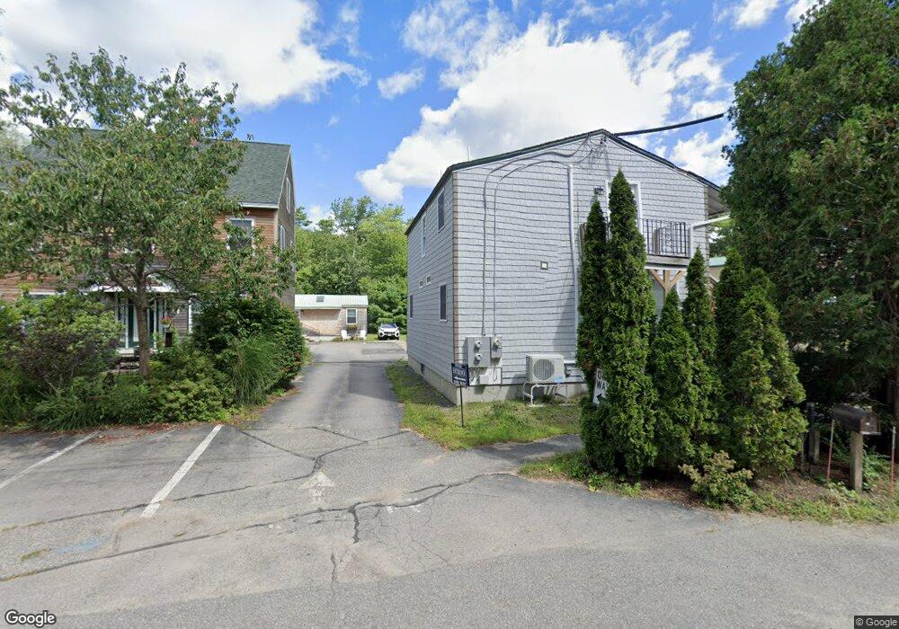
40 Shorebreezes Ln Unit 40 Kennebunk, ME 04043
Estimated Value: $269,000 - $328,000
1
Bed
1
Bath
448
Sq Ft
$656/Sq Ft
Est. Value
About This Home
This home is located at 40 Shorebreezes Ln Unit 40, Kennebunk, ME 04043 and is currently estimated at $293,967, approximately $656 per square foot. 40 Shorebreezes Ln Unit 40 is a home located in York County with nearby schools including Kennebunk High School and The New School.
Ownership History
Date
Name
Owned For
Owner Type
Purchase Details
Closed on
Mar 31, 2022
Sold by
Shorelands Bch Cott Llc
Bought by
Downey Susan B
Current Estimated Value
Home Financials for this Owner
Home Financials are based on the most recent Mortgage that was taken out on this home.
Original Mortgage
$239,400
Outstanding Balance
$224,077
Interest Rate
3.92%
Mortgage Type
Purchase Money Mortgage
Estimated Equity
$69,890
Create a Home Valuation Report for This Property
The Home Valuation Report is an in-depth analysis detailing your home's value as well as a comparison with similar homes in the area
Home Values in the Area
Average Home Value in this Area
Purchase History
| Date | Buyer | Sale Price | Title Company |
|---|---|---|---|
| Downey Susan B | $266,000 | None Available |
Source: Public Records
Mortgage History
| Date | Status | Borrower | Loan Amount |
|---|---|---|---|
| Open | Downey Susan B | $239,400 |
Source: Public Records
Tax History Compared to Growth
Tax History
| Year | Tax Paid | Tax Assessment Tax Assessment Total Assessment is a certain percentage of the fair market value that is determined by local assessors to be the total taxable value of land and additions on the property. | Land | Improvement |
|---|---|---|---|---|
| 2024 | $2,492 | $147,000 | $66,700 | $80,300 |
| 2023 | $2,359 | $147,000 | $66,700 | $80,300 |
| 2022 | $2,146 | $147,000 | $66,700 | $80,300 |
| 2021 | $2,095 | $147,000 | $66,700 | $80,300 |
| 2020 | $2,080 | $147,000 | $66,700 | $80,300 |
| 2019 | $594 | $43,200 | $16,700 | $26,500 |
| 2018 | $567 | $32,400 | $12,500 | $19,900 |
| 2017 | $536 | $32,400 | $12,500 | $19,900 |
| 2016 | $515 | $32,400 | $12,500 | $19,900 |
| 2015 | $496 | $32,400 | $12,500 | $19,900 |
| 2014 | $483 | $32,400 | $12,500 | $19,900 |
Source: Public Records
Map
Nearby Homes
- 40 Shorebreezes Ln Unit 40
- 53 Great Hill Rd
- 12 Ephraim Tyler Way
- 20 Ephraim Tyler Way Unit 20
- 161 Brown St
- 15 Benjamin Hubbard Ln Unit 15
- 57 Southgate Rd
- 238 Laudholm Farm Rd
- 16 Boundary Way
- 2 Boundary Way
- 87 Boothby Rd
- 175 Beach Ave Unit 2
- 20 Surf Ln
- 147 Beach Ave Unit 42
- 6 Old Port Rd
- 14 Rachel Dr
- 143 Beach Ave Unit 205
- 143 Beach Ave Unit 203
- 5 Heath Rd
- 149 Beach Ave Unit 107
- 28 Shorebreezes Ln Unit 28
- 28 Shorebreezes Ln Unit 28
- 20 Shorebreezes Ln Unit 20
- 20 Shore Breeze Ln Unit 20
- 24 Shore Breeze Ln Unit 24
- 26 Shorebreezes Ln Unit 26
- 247 Western Ave
- 247 Western Ave Unit 3
- 247 Western Ave Unit 4
- 247 Western Ave Unit 5
- 247 Western Ave Unit 1
- 247 Western Ave Unit 6
- 26 Shore Breeze Ln Unit 26
- 16-18 Shorebreezes Ln Unit 16-18
- 12 Shorebreezes Ln Unit 12
- 10 Shorebreezes Ln Unit 10
- 4 Shorebreezes Ln Unit 4
- 0 Parsons Beach
- 0 Brown St
- 226 Western Ave