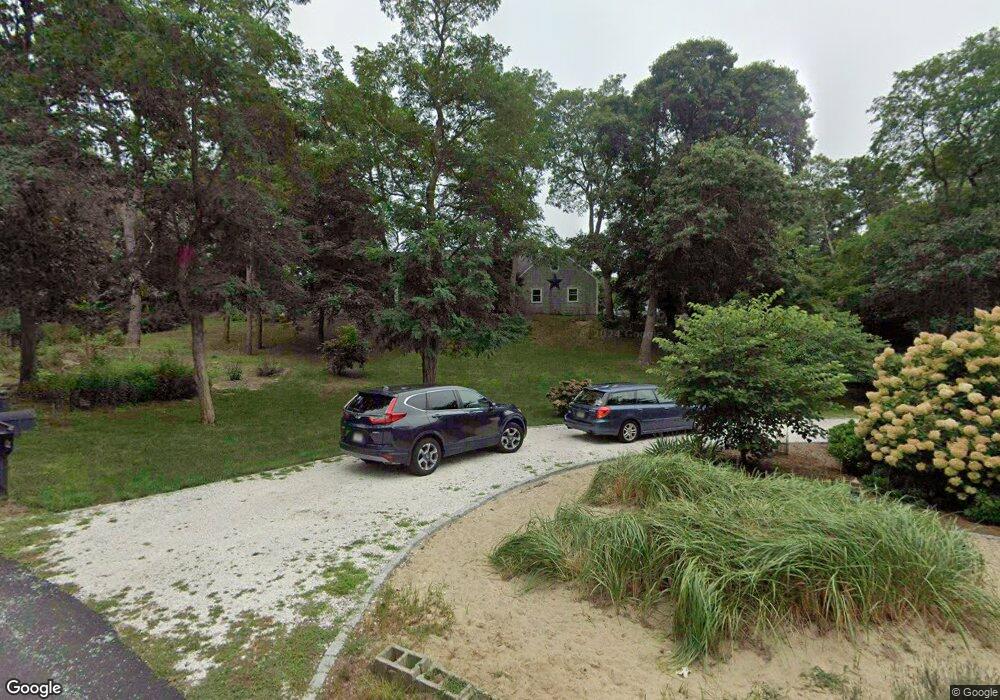
40 Smith Farm Rd Eastham, MA 02642
Estimated Value: $971,000 - $1,127,000
6
Beds
2
Baths
3,120
Sq Ft
$340/Sq Ft
Est. Value
About This Home
This home is located at 40 Smith Farm Rd, Eastham, MA 02642 and is currently estimated at $1,061,804, approximately $340 per square foot. 40 Smith Farm Rd is a home located in Barnstable County with nearby schools including Eastham Elementary School, Nauset Regional Middle School, and Nauset Regional High School.
Ownership History
Date
Name
Owned For
Owner Type
Purchase Details
Closed on
Jul 14, 2021
Sold by
Augat John R and Augat Carol R
Bought by
T John
Current Estimated Value
Purchase Details
Closed on
Jul 12, 1996
Sold by
Georgia Schneider Ret and Schneider Georgia G
Bought by
Emond Ruth Ann and Kulesza Gerald P
Create a Home Valuation Report for This Property
The Home Valuation Report is an in-depth analysis detailing your home's value as well as a comparison with similar homes in the area
Home Values in the Area
Average Home Value in this Area
Purchase History
| Date | Buyer | Sale Price | Title Company |
|---|---|---|---|
| T John | -- | None Available | |
| Emond Ruth Ann | $195,000 | -- |
Source: Public Records
Mortgage History
| Date | Status | Borrower | Loan Amount |
|---|---|---|---|
| Previous Owner | Emond Ruth Ann | $364,000 | |
| Previous Owner | Emond Ruth Ann | $290,000 | |
| Previous Owner | Emond Ruth Ann | $145,000 |
Source: Public Records
Tax History
| Year | Tax Paid | Tax Assessment Tax Assessment Total Assessment is a certain percentage of the fair market value that is determined by local assessors to be the total taxable value of land and additions on the property. | Land | Improvement |
|---|---|---|---|---|
| 2025 | $7,086 | $919,100 | $290,000 | $629,100 |
| 2024 | $6,133 | $874,900 | $281,600 | $593,300 |
| 2023 | $5,627 | $777,200 | $260,700 | $516,500 |
| 2022 | $5,163 | $601,700 | $232,800 | $368,900 |
| 2021 | $5,018 | $546,600 | $211,600 | $335,000 |
| 2020 | $4,656 | $533,900 | $216,000 | $317,900 |
| 2019 | $4,314 | $522,900 | $209,700 | $313,200 |
| 2018 | $4,276 | $512,100 | $203,600 | $308,500 |
| 2017 | $3,982 | $504,100 | $199,600 | $304,500 |
| 2016 | $3,518 | $472,900 | $169,600 | $303,300 |
| 2015 | $3,301 | $464,900 | $166,300 | $298,600 |
Source: Public Records
Map
Nearby Homes
- 55 Grandfathers Way
- 330 Hay Rd
- 2705 State Hwy
- 2705 State Hwy Unit 1-8
- 1061 State Hwy Unit 4
- 1061 State Hwy Unit 1061
- 25 Twin Rocks Dr
- 20 Kittiwake Ln
- 10 Cartway N
- 600 Kingsbury Beach Rd
- 20 Billingsgate Ave
- 300 School House Rd
- 46 Freeman Ln
- 70 Deerfield Ln
- 82 Old Orchard Rd
- 320 State Hwy
- 315 Candlewood Dr
- 25 Forrest Ave
- 40 Bayview Rd
- 343 Tonset Rd
- 50 Smith Farm Rd
- 30 Smith Farm Rd
- 110 Lombard Ln
- 120 Lombard Ln
- 100 Lombard Ln
- 20 Smith Farm Rd
- 60 Smith Farm Rd
- 95 Lombard Ln
- 90 Lombard Ln
- 70 Smith Farm Rd
- 87 Lombard Ln
- 10 Smith Farm Rd
- 45 Joshuas Way
- 55 Smith Farm Rd
- 20 Stone Ct
- 80 Smith Farm Rd
- 45 Joshua's Way
- 1700 Bridge Rd
- 59 Joshuas Way
- 1720 Bridge Rd
Your Personal Tour Guide
Ask me questions while you tour the home.