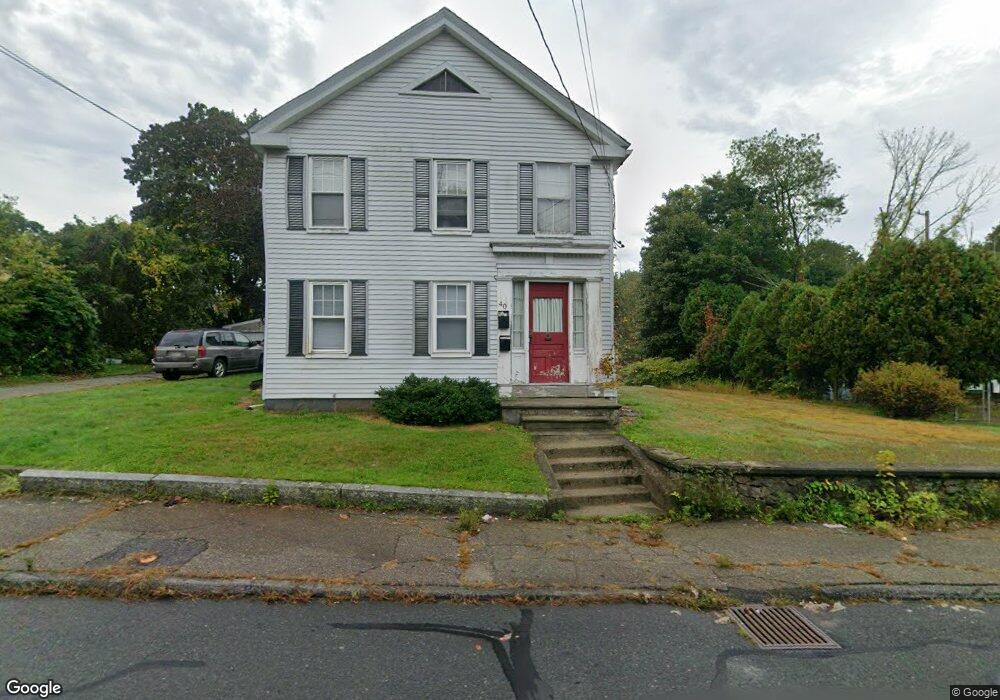
40 South St Taunton, MA 02780
Estimated Value: $552,000 - $702,000
4
Beds
2
Baths
2,338
Sq Ft
$259/Sq Ft
Est. Value
About This Home
This home is located at 40 South St, Taunton, MA 02780 and is currently estimated at $605,482, approximately $258 per square foot. 40 South St is a home located in Bristol County with nearby schools including Edmund Hatch Bennett School, Taunton High School, and Joseph H. Martin.
Ownership History
Date
Name
Owned For
Owner Type
Purchase Details
Closed on
Aug 6, 2007
Sold by
Cambra Debra L
Bought by
Varley Jennifer L
Current Estimated Value
Home Financials for this Owner
Home Financials are based on the most recent Mortgage that was taken out on this home.
Original Mortgage
$235,000
Outstanding Balance
$149,322
Interest Rate
6.73%
Mortgage Type
Purchase Money Mortgage
Estimated Equity
$456,160
Purchase Details
Closed on
May 20, 2005
Sold by
Cambra Michael R and Cambra Debra L
Bought by
Cambra Debra L
Create a Home Valuation Report for This Property
The Home Valuation Report is an in-depth analysis detailing your home's value as well as a comparison with similar homes in the area
Home Values in the Area
Average Home Value in this Area
Purchase History
| Date | Buyer | Sale Price | Title Company |
|---|---|---|---|
| Varley Jennifer L | $265,000 | -- | |
| Cambra Debra L | -- | -- |
Source: Public Records
Mortgage History
| Date | Status | Borrower | Loan Amount |
|---|---|---|---|
| Open | Varley Jennifer L | $235,000 |
Source: Public Records
Tax History Compared to Growth
Tax History
| Year | Tax Paid | Tax Assessment Tax Assessment Total Assessment is a certain percentage of the fair market value that is determined by local assessors to be the total taxable value of land and additions on the property. | Land | Improvement |
|---|---|---|---|---|
| 2025 | $5,525 | $505,000 | $131,100 | $373,900 |
| 2024 | $5,041 | $450,500 | $131,100 | $319,400 |
| 2023 | $4,753 | $394,400 | $131,100 | $263,300 |
| 2022 | $4,282 | $324,900 | $109,200 | $215,700 |
| 2021 | $4,161 | $293,000 | $99,300 | $193,700 |
| 2020 | $4,076 | $274,300 | $99,300 | $175,000 |
| 2019 | $3,822 | $242,500 | $103,200 | $139,300 |
| 2018 | $3,694 | $235,000 | $104,200 | $130,800 |
| 2017 | $3,425 | $218,000 | $99,100 | $118,900 |
| 2016 | $3,282 | $209,300 | $96,200 | $113,100 |
| 2015 | $2,981 | $198,600 | $97,200 | $101,400 |
| 2014 | $2,902 | $198,600 | $97,200 | $101,400 |
Source: Public Records
Map
Nearby Homes
- 1472 Somerset Ave
- 0 Andrews St
- 238 Andrews St
- 698 School St Unit 698
- 221 Summer St
- 233-R Summer St
- 0 Summer St
- 876 Autumn St
- 322 Dighton Ave
- 343 Forest St
- 810 Tremont St
- 240 Country Hill Dr
- 15 Shetland Rd
- 58 Lawton St
- 38 Cranesbill Rd
- 4 A Lawton St Unit A
- 4 Lawton St Unit A
- 410 Warner Blvd Unit A
- 50 Highland St Unit 135
- 81 Sanford St
- 36 South St
- 37 South St
- 43 South St
- 72 Railroad Ave
- 33 South St
- 31 South St
- 479 South St Unit 1
- 836 Dighton Ave
- 830 Dighton Ave
- 68 Railroad Ave
- 30 South St
- 29 South St
- 64 Railroad Ave
- 27 South St
- 824 Dighton Ave
- 824 Dighton Ave Unit 3
- 824 Dighton Ave Unit 1
- 822 Dighton Ave
- 62 Railroad Ave
- 63 Railroad Ave