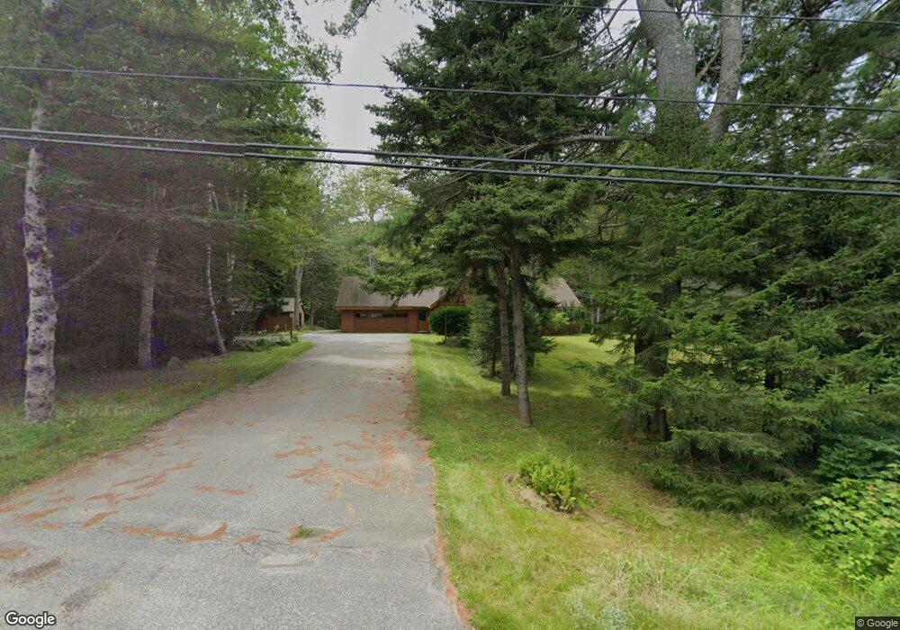
40 Sproul Ln Boothbay, ME 04537
Estimated Value: $432,911 - $605,000
3
Beds
2
Baths
1,344
Sq Ft
$407/Sq Ft
Est. Value
About This Home
This home is located at 40 Sproul Ln, Boothbay, ME 04537 and is currently estimated at $546,478, approximately $406 per square foot. 40 Sproul Ln is a home located in Lincoln County with nearby schools including Boothbay Region Elementary School and Boothbay Region High School.
Ownership History
Date
Name
Owned For
Owner Type
Purchase Details
Closed on
Aug 15, 2025
Sold by
Sproul Erica M
Bought by
Sproul Adam J
Current Estimated Value
Home Financials for this Owner
Home Financials are based on the most recent Mortgage that was taken out on this home.
Original Mortgage
$487,500
Outstanding Balance
$487,078
Interest Rate
6.72%
Mortgage Type
New Conventional
Estimated Equity
$59,400
Purchase Details
Closed on
Sep 6, 2013
Sold by
Sproul Christine D
Bought by
Sproul Christine D and Sproul Jacqualyn L
Create a Home Valuation Report for This Property
The Home Valuation Report is an in-depth analysis detailing your home's value as well as a comparison with similar homes in the area
Home Values in the Area
Average Home Value in this Area
Purchase History
| Date | Buyer | Sale Price | Title Company |
|---|---|---|---|
| Sproul Adam J | -- | -- | |
| Sproul Adam J | -- | -- | |
| Sproul Christine D | -- | -- | |
| Sproul Christine D | -- | -- |
Source: Public Records
Mortgage History
| Date | Status | Borrower | Loan Amount |
|---|---|---|---|
| Open | Sproul Adam J | $487,500 | |
| Closed | Sproul Adam J | $487,500 |
Source: Public Records
Tax History Compared to Growth
Tax History
| Year | Tax Paid | Tax Assessment Tax Assessment Total Assessment is a certain percentage of the fair market value that is determined by local assessors to be the total taxable value of land and additions on the property. | Land | Improvement |
|---|---|---|---|---|
| 2024 | $2,033 | $179,097 | $70,300 | $108,797 |
| 2023 | $921 | $91,631 | $70,300 | $21,331 |
| 2022 | $1,724 | $185,415 | $70,300 | $115,115 |
| 2021 | $1,771 | $185,415 | $70,300 | $115,115 |
| 2020 | $1,780 | $185,415 | $70,300 | $115,115 |
| 2019 | $1,752 | $185,415 | $70,300 | $115,115 |
| 2018 | $1,724 | $185,415 | $70,300 | $115,115 |
| 2017 | $1,643 | $178,600 | $56,000 | $122,600 |
| 2016 | $1,572 | $178,600 | $56,000 | $122,600 |
| 2015 | $1,563 | $178,600 | $56,000 | $122,600 |
| 2014 | $1,518 | $178,600 | $56,000 | $122,600 |
Source: Public Records
Map
Nearby Homes
- 9 Skylers Way
- 42 Wawenock Trail
- 1 Echo Lake Rd
- 4 Reed Ln
- 934 Wiscasset Rd
- 302 Townsend Ave
- 44-4 Windrush Ln
- 24 Kimballtown Rd
- 14 Moffat Ln
- 32 Murray Hill Rd
- 59 Ocean Point Rd Unit 21
- 21 Sea St
- 66 Townsend Ave
- 26 Sea St
- 37 Townsend Ave
- 27 Townsend Ave
- 53 Commercial St
- 113 Commercial St
- 11 Atlantic Ave
- 12 Pump Station Rd
- 11 Sproul Ln
- 120 Barters Island Rd
- 27 Sproul Ln
- 143 Barters Island Rd
- 154 Barters Island Rd
- 0 Gaecklin Rd Unit 1041433
- 0 Barters Island Rd
- 157 Barters Island Rd
- 10 Sproul Ln
- 10 McCobb Rd
- 12 McCobb Rd
- 5 McCobb Rd
- 86 Gaecklein Rd
- 22 Spindletree Rd
- 44 Spindle Tree
- 93 Gaecklein Rd
- 56 Barters Island Rd
- 51 Barters Island Rd
- 17 Madison Rd
- 52 Barters Island Rd