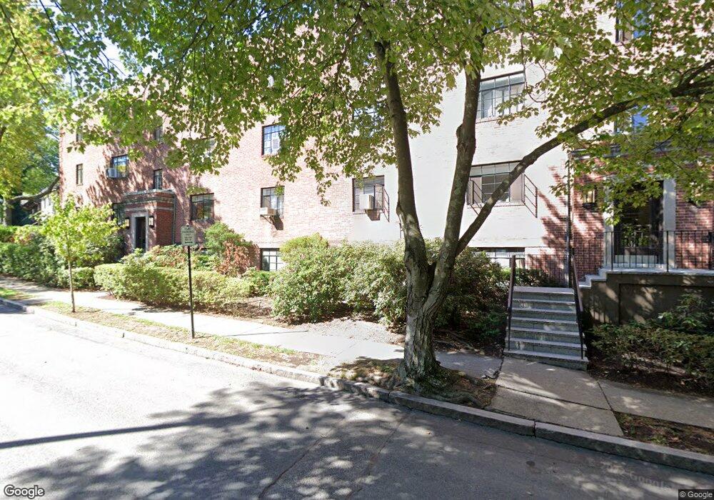
40 Stetson St Unit 4 Brookline, MA 02446
Coolidge Corner NeighborhoodEstimated Value: $673,424 - $929,000
2
Beds
1
Bath
790
Sq Ft
$970/Sq Ft
Est. Value
About This Home
This home is located at 40 Stetson St Unit 4, Brookline, MA 02446 and is currently estimated at $766,356, approximately $970 per square foot. 40 Stetson St Unit 4 is a home located in Norfolk County with nearby schools including Florida Ruffin Ridley, Brookline High School, and Match Charter Public School.
Ownership History
Date
Name
Owned For
Owner Type
Purchase Details
Closed on
Feb 4, 2015
Sold by
Barlev-Ehrenberg Yehoshua and Ehrenberg Yehoshua B
Bought by
Barlev-Ehrenberg Yehoshua and Ehrenberg Yehoshua B
Current Estimated Value
Purchase Details
Closed on
Oct 1, 2014
Sold by
40-4 Stetson Street Rt and Bar-Lev Assa
Bought by
Edit Lev T and Bar-Lev Assa
Purchase Details
Closed on
Jul 22, 1993
Sold by
Alge Mervin I and Alge Sharon M
Bought by
44 Stetson St Rt
Create a Home Valuation Report for This Property
The Home Valuation Report is an in-depth analysis detailing your home's value as well as a comparison with similar homes in the area
Home Values in the Area
Average Home Value in this Area
Purchase History
| Date | Buyer | Sale Price | Title Company |
|---|---|---|---|
| Barlev-Ehrenberg Yehoshua | -- | -- | |
| Barlev-Ehrenberg Yehoshua | $527,000 | -- | |
| Edit Lev T | $525,000 | -- | |
| 44 Stetson St Rt | $115,000 | -- |
Source: Public Records
Tax History
| Year | Tax Paid | Tax Assessment Tax Assessment Total Assessment is a certain percentage of the fair market value that is determined by local assessors to be the total taxable value of land and additions on the property. | Land | Improvement |
|---|---|---|---|---|
| 2025 | $6,325 | $640,800 | $0 | $640,800 |
| 2024 | $6,138 | $628,200 | $0 | $628,200 |
| 2023 | $6,109 | $612,700 | $0 | $612,700 |
| 2022 | $6,121 | $600,700 | $0 | $600,700 |
| 2021 | $5,829 | $594,800 | $0 | $594,800 |
| 2020 | $5,565 | $588,900 | $0 | $588,900 |
| 2019 | $5,256 | $560,900 | $0 | $560,900 |
| 2018 | $4,839 | $511,500 | $0 | $511,500 |
| 2017 | $4,679 | $473,600 | $0 | $473,600 |
| 2016 | $4,486 | $430,500 | $0 | $430,500 |
| 2015 | $4,180 | $391,400 | $0 | $391,400 |
| 2014 | $4,086 | $358,700 | $0 | $358,700 |
Source: Public Records
Map
Nearby Homes
- 105 Babcock St
- 125 Crowninshield Rd Unit 125
- 95 Stedman St Unit 1
- 99 Crowninshield Rd Unit 99
- 95 Beals St Unit 2
- 52 Babcock St Unit 5
- 52 Babcock St Unit 1
- 79 Pleasant St Unit 4
- 36 Osborne Rd Unit 1
- 36 Osborne Rd
- 63-65 Green St Unit 1
- 63-65 Green St Unit PH-3
- 38 Stedman St Unit 38A
- 142 Fuller St Unit 4
- 28 Winslow Rd
- 221 Saint Paul St
- 26 John St Unit 3
- 21 Green St Unit 3
- 14 James St Unit 3
- 14 Green St Unit PHA
- 40 Stetson St Unit 1
- 40 Stetson St Unit 6
- 40 Stetson St Unit 5
- 40 Stetson St Unit 3
- 40 Stetson St Unit 2
- 40 Stetson St
- 46 Stetson St Unit PARKING
- 46 Stetson St Unit R
- 46 Stetson St Unit 7
- 46 Stetson St Unit 6
- 46 Stetson St Unit 5
- 46 Stetson St Unit 4
- 46 Stetson St Unit 3
- 46 Stetson St Unit 2
- 46 Stetson St Unit 1
- 46 Stetson St Unit 1,46
- 34 Stetson St
- 125 Babcock St
- 123 Babcock St
- 123 Babcock St Unit 110-37
Your Personal Tour Guide
Ask me questions while you tour the home.