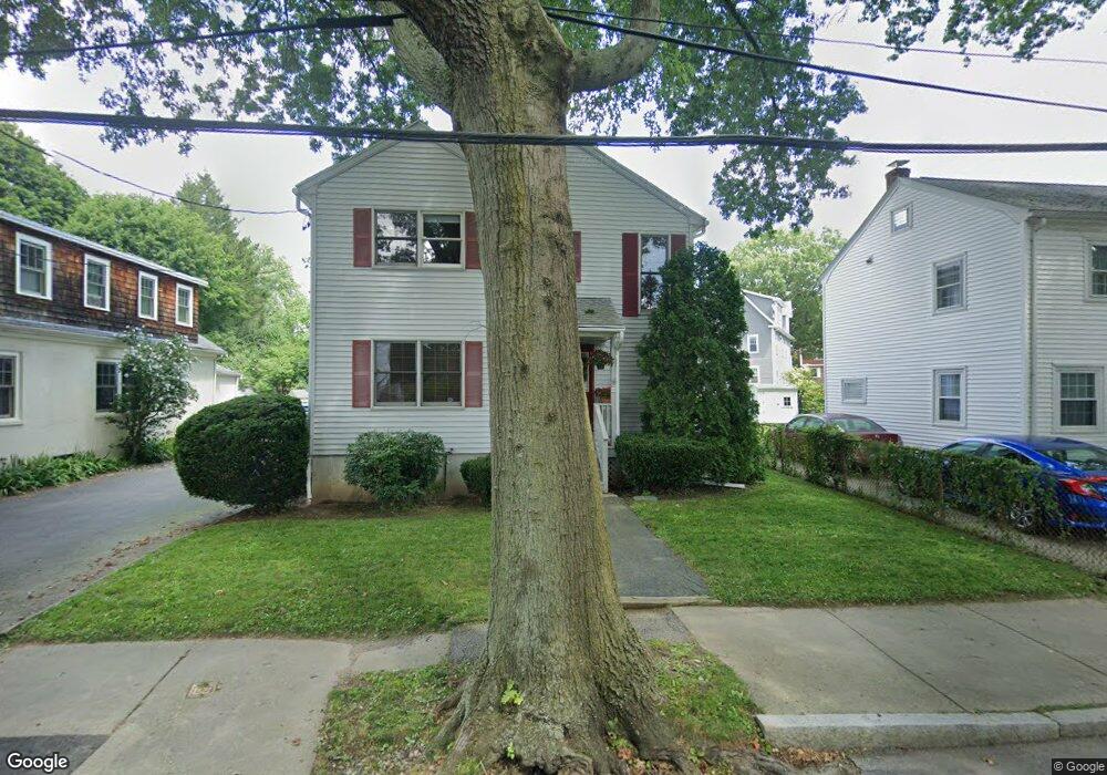
40 Sunset Rd Cambridge, MA 02138
Estimated Value: $1,385,000 - $2,501,000
3
Beds
3
Baths
1,864
Sq Ft
$974/Sq Ft
Est. Value
About This Home
This home is located at 40 Sunset Rd, Cambridge, MA 02138 and is currently estimated at $1,816,214, approximately $974 per square foot. 40 Sunset Rd is a home located in Middlesex County with nearby schools including Fayerweather Street School.
Ownership History
Date
Name
Owned For
Owner Type
Purchase Details
Closed on
Aug 13, 2007
Sold by
Carlson Nancy B
Bought by
Carlson Nancy B and Corwin Thomas R
Current Estimated Value
Purchase Details
Closed on
Mar 15, 1994
Sold by
Rigazio John T
Bought by
Carlson Nancy B
Home Financials for this Owner
Home Financials are based on the most recent Mortgage that was taken out on this home.
Original Mortgage
$180,000
Interest Rate
6.93%
Mortgage Type
Purchase Money Mortgage
Create a Home Valuation Report for This Property
The Home Valuation Report is an in-depth analysis detailing your home's value as well as a comparison with similar homes in the area
Purchase History
| Date | Buyer | Sale Price | Title Company |
|---|---|---|---|
| Carlson Nancy B | -- | -- | |
| Carlson Nancy B | $312,500 | -- |
Source: Public Records
Mortgage History
| Date | Status | Borrower | Loan Amount |
|---|---|---|---|
| Open | Carlson Nancy B | $106,500 | |
| Previous Owner | Carlson Nancy B | $180,000 |
Source: Public Records
Tax History
| Year | Tax Paid | Tax Assessment Tax Assessment Total Assessment is a certain percentage of the fair market value that is determined by local assessors to be the total taxable value of land and additions on the property. | Land | Improvement |
|---|---|---|---|---|
| 2025 | $9,822 | $1,546,800 | $596,400 | $950,400 |
| 2024 | $9,136 | $1,543,300 | $621,300 | $922,000 |
| 2023 | $8,459 | $1,443,600 | $653,300 | $790,300 |
| 2022 | $7,672 | $1,295,900 | $577,900 | $718,000 |
| 2021 | $7,402 | $1,265,300 | $597,800 | $667,500 |
| 2020 | $7,020 | $1,220,900 | $580,200 | $640,700 |
| 2019 | $6,592 | $1,109,800 | $517,900 | $591,900 |
| 2018 | $6,565 | $1,043,700 | $436,100 | $607,600 |
| 2017 | $6,342 | $977,200 | $408,900 | $568,300 |
| 2016 | $6,192 | $885,800 | $354,400 | $531,400 |
| 2015 | $6,148 | $786,200 | $311,500 | $474,700 |
| 2014 | $6,209 | $740,900 | $272,600 | $468,300 |
Source: Public Records
Map
Nearby Homes
- 27-29 S Normandy Ave
- 93 Griswold St Unit 93
- 95 Griswold St Unit 95
- 23 Loomis St Unit 23
- 773 Concord Ave Unit 103
- 314 Channing Rd
- 17 Smith Place
- 92 Shaw Rd
- 29 Wheeler St Unit 108
- 29 Wheeler St Unit 310
- 29 Mott St Unit 29
- 27 Mott St Unit 27A
- 155 Thorndike St
- 151 Thorndike St
- 315 Lake St
- 16-18 Pondview Rd
- 60 Washington St
- 11 Hillcrest Rd
- 9 Venner Rd
- 73 Foster Rd Unit 2
- 34 Sunset Rd
- 44 Sunset Rd
- 30 Sunset Rd
- 30 Sunset Rd Unit B
- 67 Griswold St
- 67 Griswold St Unit 2,67
- 67 Griswold St Unit 1,67
- 71 Griswold St Unit 1
- 75 Griswold St
- 73 Griswold St
- 73 Griswold St Unit 1
- 69 Griswold St
- 69 Griswold St Unit 69
- 69 Griswold St Unit 1
- 23 S Normandy Ave
- 65 Griswold St
- 26 Sunset Rd
- 63 Griswold St
- 29 S Normandy Ave
- 29 S Normandy Ave Unit 410
Your Personal Tour Guide
Ask me questions while you tour the home.