40 Swing About Hilton Head, SC 29928
Palmetto Dunes NeighborhoodEstimated Value: $2,388,000 - $2,509,000
4
Beds
6
Baths
4,094
Sq Ft
$598/Sq Ft
Est. Value
About This Home
This home is located at 40 Swing About, Hilton Head, SC 29928 and is currently estimated at $2,449,019, approximately $598 per square foot. 40 Swing About is a home located in Beaufort County with nearby schools including Hilton Head Island Early Childhood Center, Hilton Head Island Elementary School, and Hilton Head Island Middle School.
Ownership History
Date
Name
Owned For
Owner Type
Purchase Details
Closed on
Dec 22, 2016
Sold by
Benko Dane D and Benko Victoria L
Bought by
Schroeder Duane M and Schoeder Nancy L
Current Estimated Value
Purchase Details
Closed on
Jun 12, 2008
Sold by
Topping Matthew Aaron and Topping Matilde Garcia
Bought by
Benko Dane D and Benko Victoria L
Home Financials for this Owner
Home Financials are based on the most recent Mortgage that was taken out on this home.
Original Mortgage
$290,160
Interest Rate
6.04%
Mortgage Type
Unknown
Purchase Details
Closed on
Jul 21, 2004
Sold by
Provost Phillip W and Provost Elvia M
Bought by
Topping Matthew Aaron and Topping Matilde Garcia
Home Financials for this Owner
Home Financials are based on the most recent Mortgage that was taken out on this home.
Original Mortgage
$190,000
Interest Rate
5.5%
Mortgage Type
Unknown
Create a Home Valuation Report for This Property
The Home Valuation Report is an in-depth analysis detailing your home's value as well as a comparison with similar homes in the area
Home Values in the Area
Average Home Value in this Area
Purchase History
| Date | Buyer | Sale Price | Title Company |
|---|---|---|---|
| Schroeder Duane M | $225,000 | None Available | |
| Benko Dane D | $320,000 | -- | |
| Topping Matthew Aaron | $295,000 | -- |
Source: Public Records
Mortgage History
| Date | Status | Borrower | Loan Amount |
|---|---|---|---|
| Previous Owner | Benko Dane D | $290,160 | |
| Previous Owner | Topping Matthew Aaron | $190,000 |
Source: Public Records
Tax History Compared to Growth
Tax History
| Year | Tax Paid | Tax Assessment Tax Assessment Total Assessment is a certain percentage of the fair market value that is determined by local assessors to be the total taxable value of land and additions on the property. | Land | Improvement |
|---|---|---|---|---|
| 2024 | $4,855 | $89,720 | $22,000 | $67,720 |
| 2023 | $4,916 | $89,720 | $22,000 | $67,720 |
| 2022 | $4,467 | $33,200 | $10,000 | $23,200 |
| 2021 | $4,602 | $33,200 | $10,000 | $23,200 |
| 2020 | $14,096 | $36,520 | $10,000 | $26,520 |
| 2019 | $13,797 | $36,520 | $10,000 | $26,520 |
| 2018 | $3,899 | $15,000 | $0 | $0 |
| 2017 | $4,347 | $16,200 | $0 | $0 |
| 2016 | $4,158 | $16,200 | $0 | $0 |
| 2014 | $3,987 | $16,200 | $0 | $0 |
Source: Public Records
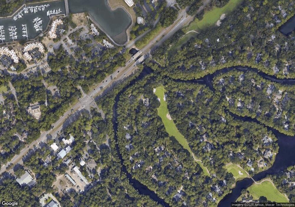
Map
Nearby Homes
- 19 Shelter Cove Ln Unit 207
- 13 Harbourside Ln Unit 7170
- 13 Harbourside Ln Unit 7165
- 13 Harbourside Ln Unit 7154
- 20 Queens Folly Rd Unit 1782
- 20 Queens Folly Rd Unit 1667
- 20 Queens Folly Rd Unit 1981
- 20 Queens Folly Rd Unit 1661
- 20 Queens Folly Rd Unit 1677
- 20 Queens Folly Rd Unit 1863
- 9 Harbourside Ln Unit 7330C
- 9 Harbourside Ln Unit 7302B
- 9 Harbourside Ln Unit 7327B
- 9 Harbourside Ln Unit 7338B
- 9 Harbourside Ln Unit 7338A
- 20 Tradewinds Trace Unit 4
- 10 Newport Dr Unit 3302
- 5 Newport Dr Unit 2200
- 5 Newport Dr Unit 2105
- 5 Newport Dr Unit 7102