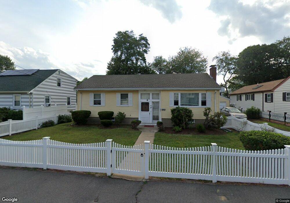
40 Tileston St Hyde Park, MA 02136
Hyde Park NeighborhoodEstimated Value: $533,000 - $625,000
2
Beds
1
Bath
1,116
Sq Ft
$519/Sq Ft
Est. Value
About This Home
This home is located at 40 Tileston St, Hyde Park, MA 02136 and is currently estimated at $579,631, approximately $519 per square foot. 40 Tileston St is a home with nearby schools including Boston Preparatory Charter Public School and Berea Sda Academy.
Ownership History
Date
Name
Owned For
Owner Type
Purchase Details
Closed on
Oct 21, 2024
Sold by
Charles Singletary Lt and Leonard
Bought by
Leonard Andrea M and Leonard Stephen D
Current Estimated Value
Home Financials for this Owner
Home Financials are based on the most recent Mortgage that was taken out on this home.
Original Mortgage
$65,000
Outstanding Balance
$64,031
Interest Rate
6.2%
Mortgage Type
New Conventional
Estimated Equity
$515,600
Purchase Details
Closed on
Jul 7, 2016
Sold by
Singletary Charles
Bought by
Charles Singletary Lt and Singletary
Create a Home Valuation Report for This Property
The Home Valuation Report is an in-depth analysis detailing your home's value as well as a comparison with similar homes in the area
Home Values in the Area
Average Home Value in this Area
Purchase History
| Date | Buyer | Sale Price | Title Company |
|---|---|---|---|
| Leonard Andrea M | -- | None Available | |
| Leonard Andrea M | -- | None Available | |
| Charles Singletary Lt | -- | -- | |
| Charles Singletary Lt | -- | -- |
Source: Public Records
Mortgage History
| Date | Status | Borrower | Loan Amount |
|---|---|---|---|
| Open | Leonard Andrea M | $65,000 | |
| Closed | Leonard Andrea M | $65,000 |
Source: Public Records
Tax History
| Year | Tax Paid | Tax Assessment Tax Assessment Total Assessment is a certain percentage of the fair market value that is determined by local assessors to be the total taxable value of land and additions on the property. | Land | Improvement |
|---|---|---|---|---|
| 2025 | $5,331 | $460,400 | $203,600 | $256,800 |
| 2024 | $4,758 | $436,500 | $196,000 | $240,500 |
| 2023 | $4,341 | $404,200 | $181,500 | $222,700 |
| 2022 | $4,109 | $377,700 | $169,600 | $208,100 |
| 2021 | $3,699 | $346,700 | $163,100 | $183,600 |
| 2020 | $3,289 | $311,500 | $146,700 | $164,800 |
| 2019 | $2,968 | $281,600 | $118,400 | $163,200 |
| 2018 | $2,810 | $268,100 | $118,400 | $149,700 |
| 2017 | $2,606 | $246,100 | $118,400 | $127,700 |
| 2016 | $2,554 | $232,200 | $118,400 | $113,800 |
| 2015 | $2,817 | $232,600 | $130,200 | $102,400 |
| 2014 | -- | $215,000 | $130,200 | $84,800 |
Source: Public Records
Map
Nearby Homes
- 7 Winborough St
- 106 Lewiston St
- 27 Ralwood Rd
- 52 Taunton Ave
- 25 Alpine St Unit 7
- 23 Caton St
- 20 Massasoit St
- 75-77 Belnel Rd
- 30 Massasoit St
- 0 Tina Ave
- 645 River St
- 34 Ridlon Rd
- 90 Hollingsworth St
- 640 River St
- 19 Melba Way
- 265 Hebron St
- 839-843 Cummins Hwy
- 87 Victoria Heights Rd
- 65 Victoria Heights Rd Unit 65
- 770 Cummins Hwy Unit 1