40 Vanderpoel Ave Bantam, CT 06750
Estimated Value: $262,079
Studio
--
Bath
--
Sq Ft
1.48
Acres Lot
About This Home
This home is located at 40 Vanderpoel Ave, Bantam, CT 06750 and is currently priced at $262,079. 40 Vanderpoel Ave is a home located in Litchfield County with nearby schools including Center School, Litchfield Intermediate School, and Litchfield High School.
Ownership History
Date
Name
Owned For
Owner Type
Purchase Details
Closed on
Sep 25, 2024
Sold by
Arethusa Farm Dairy Llc
Bought by
Arethusa Properties Llc
Current Estimated Value
Purchase Details
Closed on
Mar 1, 2013
Sold by
Squam Prop Mgmt Llc
Bought by
Arethusa Farm Dairy Ll
Purchase Details
Closed on
Jan 23, 2009
Sold by
Creedon 2Nd John and Creedon Joanne
Bought by
Squam Property Mgmt
Home Financials for this Owner
Home Financials are based on the most recent Mortgage that was taken out on this home.
Original Mortgage
$275,000
Interest Rate
6.24%
Mortgage Type
Commercial
Create a Home Valuation Report for This Property
The Home Valuation Report is an in-depth analysis detailing your home's value as well as a comparison with similar homes in the area
Home Values in the Area
Average Home Value in this Area
Purchase History
We collect this data history from publicly available records. To have your information removed, we recommend requesting removal directly through your county’s website.
| Date | Buyer | Sale Price | Title Company |
|---|---|---|---|
| Arethusa Properties Llc | -- | None Available | |
| Arethusa Properties Llc | -- | None Available | |
| Arethusa Farm Dairy Ll | $120,000 | -- | |
| Arethusa Farm Dairy Ll | $120,000 | -- | |
| Squam Property Mgmt | $275,000 | -- | |
| Squam Property Mgmt | $275,000 | -- |
Source: Public Records
Mortgage History
We collect this data history from publicly available records. To have your information removed, we recommend requesting removal directly through your county’s website.
| Date | Status | Borrower | Loan Amount |
|---|---|---|---|
| Previous Owner | Squam Property Mgmt | $275,000 | |
| Previous Owner | Squam Property Mgmt | $75,000 |
Source: Public Records
Tax History
| Year | Tax Paid | Tax Assessment Tax Assessment Total Assessment is a certain percentage of the fair market value that is determined by local assessors to be the total taxable value of land and additions on the property. | Land | Improvement |
|---|---|---|---|---|
| 2025 | $9,277 | $437,610 | $73,220 | $364,390 |
| 2024 | $8,621 | $437,610 | $73,220 | $364,390 |
| 2023 | $10,208 | $361,990 | $63,880 | $298,110 |
| 2022 | $10,244 | $361,990 | $63,880 | $298,110 |
| 2021 | $10,534 | $361,990 | $63,880 | $298,110 |
| 2020 | $10,570 | $361,990 | $63,880 | $298,110 |
| 2019 | $10,751 | $361,990 | $63,880 | $298,110 |
| 2018 | $9,180 | $314,400 | $63,880 | $250,520 |
| 2017 | $9,149 | $314,400 | $63,880 | $250,520 |
| 2016 | $8,866 | $314,400 | $63,880 | $250,520 |
| 2015 | -- | $194,350 | $63,880 | $130,470 |
| 2014 | $3,816 | $142,910 | $63,880 | $79,030 |
Source: Public Records
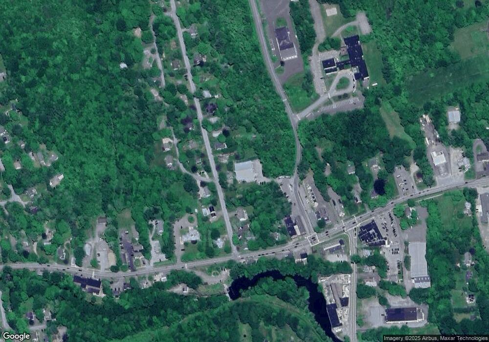
Map
Nearby Homes
- 28 Trumbull St
- 143 Vanderpoel Ave
- 26 Seminole Cir
- 1222 Bantam Rd
- 107 N Shore Rd
- 424 Bantam Lake Rd
- 88 Knox Rd
- 38 Old Turnpike Rd
- 64 Old Turnpike Rd
- 17 Marsh Point
- 213 Brush Hill Rd
- 44 Bantam Lake Heights
- 90 Island Trail
- 254 Stoddard Rd
- 262 Stoddard Rd
- 7 Hill Top Rd
- 93 Litchfield Ponds Dr
- 00 Mt Tom Passway
- 11 Sheldon Ln
- 10 Gate Post Ln
- 22 Vanderpoel Ave
- 33 Vanderpoel Ave
- 866 Bantam Rd
- 940 Bantam Rd
- 848 Bantam Rd
- 840 Bantam Rd
- 853 Bantam Rd
- 48 Vanderpoel Ave
- 49 Vanderpoel Ave
- 896 Bantam Rd
- 57 Vanderpoel Ave
- 828 Bantam Rd
- 54 Vanderpoel Ave
- 23 Case Ave
- 919 Bantam Road Rt 202
- 906 Bantam Rd
- 62 Vanderpoel Ave
- 822 Bantam Rd
- 33 Case Ave
- 816 Bantam Rd
Your Personal Tour Guide
Ask me questions while you tour the home.