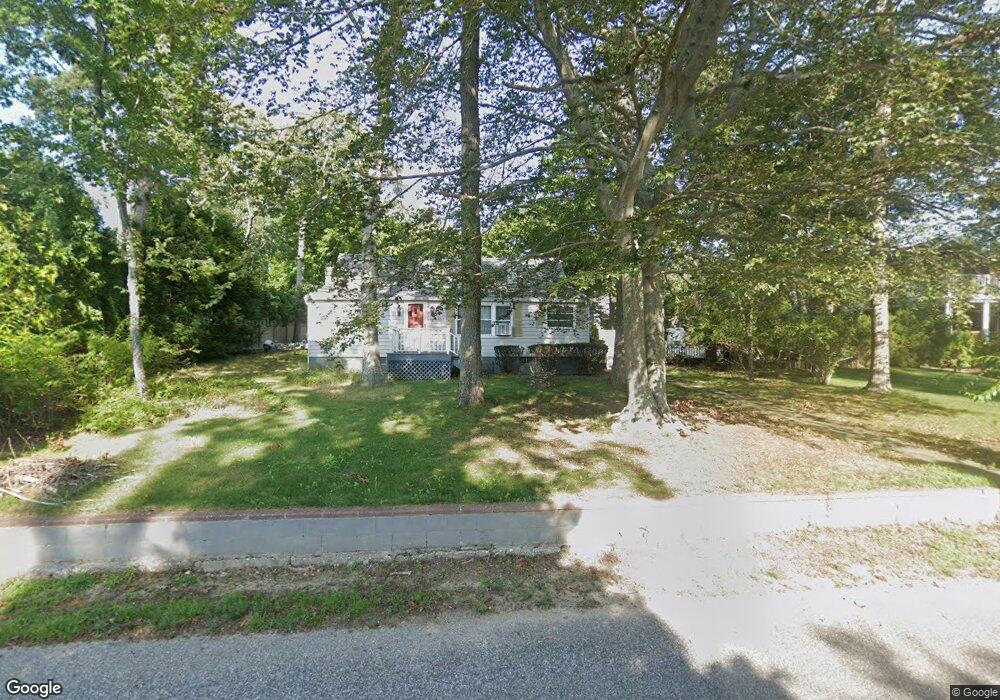
40 Waters Edge Rd Southampton, NY 11968
Estimated Value: $881,000 - $1,321,000
2
Beds
2
Baths
1,064
Sq Ft
$995/Sq Ft
Est. Value
About This Home
This home is located at 40 Waters Edge Rd, Southampton, NY 11968 and is currently estimated at $1,058,958, approximately $995 per square foot. 40 Waters Edge Rd is a home located in Suffolk County with nearby schools including Southampton Elementary School, Southampton Intermediate School, and Southampton High School.
Ownership History
Date
Name
Owned For
Owner Type
Purchase Details
Closed on
Mar 1, 2024
Sold by
Powell Malcolm and Powell Margaret M
Bought by
B Serk 40 Waters Edge Llc
Current Estimated Value
Purchase Details
Closed on
Jul 8, 2005
Sold by
Wechsler John I
Bought by
Timber Land Prop Llc
Purchase Details
Closed on
Aug 20, 1996
Sold by
Powell Margaret M and Demouth Arthur J
Bought by
Powell Malcolm and Powell Margaret M
Create a Home Valuation Report for This Property
The Home Valuation Report is an in-depth analysis detailing your home's value as well as a comparison with similar homes in the area
Home Values in the Area
Average Home Value in this Area
Purchase History
| Date | Buyer | Sale Price | Title Company |
|---|---|---|---|
| B Serk 40 Waters Edge Llc | $930,000 | None Available | |
| B Serk 40 Waters Edge Llc | $930,000 | None Available | |
| Timber Land Prop Llc | $775,000 | Roy Greenberg | |
| Timber Land Prop Llc | $775,000 | Roy Greenberg | |
| Powell Malcolm | -- | The Title Guarantee Company | |
| Powell Malcolm | -- | The Title Guarantee Company |
Source: Public Records
Tax History Compared to Growth
Tax History
| Year | Tax Paid | Tax Assessment Tax Assessment Total Assessment is a certain percentage of the fair market value that is determined by local assessors to be the total taxable value of land and additions on the property. | Land | Improvement |
|---|---|---|---|---|
| 2024 | -- | $538,300 | $386,800 | $151,500 |
| 2023 | -- | $538,300 | $386,800 | $151,500 |
| 2022 | $2,100 | $538,300 | $386,800 | $151,500 |
| 2021 | $2,100 | $535,800 | $386,800 | $149,000 |
| 2020 | $2,234 | $535,800 | $386,800 | $149,000 |
| 2019 | $2,234 | $0 | $0 | $0 |
| 2018 | -- | $484,300 | $351,600 | $132,700 |
| 2017 | $1,968 | $435,900 | $316,400 | $119,500 |
| 2016 | $2,035 | $435,900 | $316,400 | $119,500 |
| 2015 | -- | $435,900 | $316,400 | $119,500 |
| 2014 | -- | $435,900 | $316,400 | $119,500 |
Source: Public Records
Map
Nearby Homes
- 33 Woods Ln
- 80 Knoll Rd
- 1610 Majors Path
- 1578 Majors Path
- 8 Ashwood Ct
- 7 Ashwood Ct
- 8 Seaweed Rd
- 334 Noyack Rd
- 311 Noyack Rd
- 142 Towd Point Rd
- 61 Hidden Cove Ct
- 45 Old Sag Harbor Rd
- 210 Towd Point Rd
- 64 Turtle Cove Dr
- 238 Towd Point Rd
- 70 Cedar Ave
- 70 Straight Path
- 200 Great Hill Rd
- 42 Locust Ave
- 1205 Majors Path
- 36 Waters Edge Rd
- 42 Waters Edge Rd
- 32 Waters Edge Rd
- 46 Waters Edge Rd
- 26 Knoll Rd
- 39 Waters Edge Rd
- 30 Knoll Rd
- 35 Waters Edge Rd
- 41 Waters Edge Rd
- 45 Waters Edge Rd
- 20 Knoll Rd
- 28 Helens Ln
- 48 Waters Edge Rd
- 29 Waters Edge Rd
- 36 Knoll Rd
- 18 Knoll Rd
- 49 Waters Edge Rd
- 52 Waters Edge Rd
- 24 Knoll Rd
- 25 Waters Edge Rd