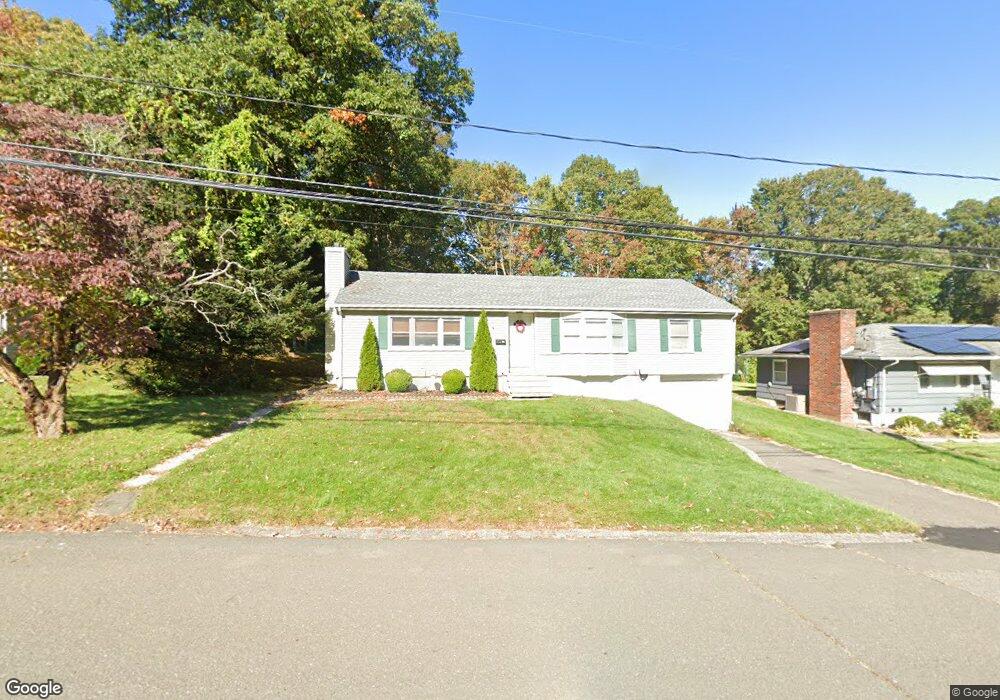
40 Westmont Dr Waterbury, CT 06708
Bunker Hill NeighborhoodEstimated Value: $275,000 - $325,000
3
Beds
2
Baths
1,352
Sq Ft
$226/Sq Ft
Est. Value
About This Home
This home is located at 40 Westmont Dr, Waterbury, CT 06708 and is currently estimated at $305,663, approximately $226 per square foot. 40 Westmont Dr is a home located in New Haven County with nearby schools including West Side Middle School, John F. Kennedy High School, and Brass City Charter School.
Ownership History
Date
Name
Owned For
Owner Type
Purchase Details
Closed on
Jan 31, 2006
Sold by
Rainone Michael E Est and Rainone
Bought by
Wheelahan Jennifer L
Current Estimated Value
Home Financials for this Owner
Home Financials are based on the most recent Mortgage that was taken out on this home.
Original Mortgage
$124,000
Outstanding Balance
$70,385
Interest Rate
6.34%
Mortgage Type
Purchase Money Mortgage
Estimated Equity
$235,278
Create a Home Valuation Report for This Property
The Home Valuation Report is an in-depth analysis detailing your home's value as well as a comparison with similar homes in the area
Home Values in the Area
Average Home Value in this Area
Purchase History
| Date | Buyer | Sale Price | Title Company |
|---|---|---|---|
| Wheelahan Jennifer L | $155,000 | -- |
Source: Public Records
Mortgage History
| Date | Status | Borrower | Loan Amount |
|---|---|---|---|
| Closed | Wheelahan Jennifer L | $32,300 | |
| Open | Wheelahan Jennifer L | $124,000 | |
| Closed | Wheelahan Jennifer L | $23,250 |
Source: Public Records
Tax History Compared to Growth
Tax History
| Year | Tax Paid | Tax Assessment Tax Assessment Total Assessment is a certain percentage of the fair market value that is determined by local assessors to be the total taxable value of land and additions on the property. | Land | Improvement |
|---|---|---|---|---|
| 2025 | $7,333 | $163,030 | $27,300 | $135,730 |
| 2024 | $8,060 | $163,030 | $27,300 | $135,730 |
| 2023 | $8,835 | $163,030 | $27,300 | $135,730 |
| 2022 | $5,836 | $96,920 | $27,310 | $69,610 |
| 2021 | $5,836 | $96,920 | $27,310 | $69,610 |
| 2020 | $5,836 | $96,920 | $27,310 | $69,610 |
| 2019 | $5,836 | $96,920 | $27,310 | $69,610 |
| 2018 | $5,836 | $96,920 | $27,310 | $69,610 |
| 2017 | $6,009 | $99,800 | $27,320 | $72,480 |
| 2016 | $6,009 | $99,800 | $27,320 | $72,480 |
| 2015 | $5,810 | $99,800 | $27,320 | $72,480 |
| 2014 | $5,810 | $99,800 | $27,320 | $72,480 |
Source: Public Records
Map
Nearby Homes
- 310 Parklawn Dr
- 0004 Westwood Ave
- 91 Devonwood Dr
- 112 Delaware Ave
- 28 Gaylord Glen
- 66 Revere St
- 00 Gaylord Glen
- 61 Revere St
- 284 Robbins St
- 208 Kendall Cir
- 26 Kendall Cir
- 37 Robinwood Rd
- 44 Bunker Hill Ave
- 220 Park Rd
- 241 White Birch Dr
- 332 Robbins St
- 170 Park Rd
- 108 Highland Ave
- 51 Haddad Rd
- 62 Haddad Rd