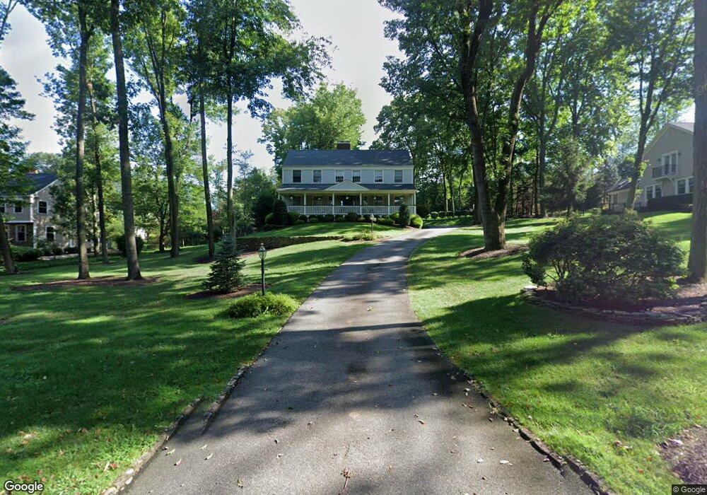
40 Wexford Way Basking Ridge, NJ 07920
Estimated Value: $1,345,982 - $1,585,000
--
Bed
--
Bath
3,496
Sq Ft
$414/Sq Ft
Est. Value
About This Home
This home is located at 40 Wexford Way, Basking Ridge, NJ 07920 and is currently estimated at $1,445,746, approximately $413 per square foot. 40 Wexford Way is a home located in Somerset County with nearby schools including Liberty Corner Elementary School, William Annin Middle School, and Ridge High School.
Ownership History
Date
Name
Owned For
Owner Type
Purchase Details
Closed on
Oct 11, 2005
Sold by
Quinn Paul H
Bought by
Wollmuth Wexford Realty Trust
Current Estimated Value
Purchase Details
Closed on
Aug 1, 1995
Sold by
Schmidt William
Bought by
Quinn Paul and Quinn Barbara
Home Financials for this Owner
Home Financials are based on the most recent Mortgage that was taken out on this home.
Original Mortgage
$406,000
Interest Rate
7.61%
Create a Home Valuation Report for This Property
The Home Valuation Report is an in-depth analysis detailing your home's value as well as a comparison with similar homes in the area
Home Values in the Area
Average Home Value in this Area
Purchase History
| Date | Buyer | Sale Price | Title Company |
|---|---|---|---|
| Wollmuth Wexford Realty Trust | $975,000 | -- | |
| Quinn Paul | $507,000 | -- |
Source: Public Records
Mortgage History
| Date | Status | Borrower | Loan Amount |
|---|---|---|---|
| Previous Owner | Quinn Paul | $406,000 |
Source: Public Records
Tax History Compared to Growth
Tax History
| Year | Tax Paid | Tax Assessment Tax Assessment Total Assessment is a certain percentage of the fair market value that is determined by local assessors to be the total taxable value of land and additions on the property. | Land | Improvement |
|---|---|---|---|---|
| 2025 | $19,498 | $1,195,000 | $428,400 | $766,600 |
| 2024 | $19,498 | $1,096,000 | $388,400 | $707,600 |
| 2023 | $19,292 | $1,022,900 | $388,400 | $634,500 |
| 2022 | $18,648 | $927,300 | $368,400 | $558,900 |
| 2021 | $17,931 | $849,800 | $368,400 | $481,400 |
| 2020 | $18,149 | $866,700 | $368,400 | $498,300 |
| 2019 | $18,308 | $900,100 | $386,800 | $513,300 |
| 2018 | $18,290 | $912,200 | $406,800 | $505,400 |
| 2017 | $18,299 | $920,000 | $406,800 | $513,200 |
| 2016 | $18,177 | $931,700 | $411,800 | $519,900 |
| 2015 | $17,968 | $937,800 | $411,800 | $526,000 |
| 2014 | $17,849 | $922,900 | $411,800 | $511,100 |
Source: Public Records
Map
Nearby Homes
- 247 Lyons Rd
- 12 Wayne Terrace
- 44 Manor Dr
- 12 Tamarisk Ct
- 209 Lake Rd
- 92 Whitenack Rd
- 135 Woods End Dr
- 10 Baldwin Ave
- 234 Liberty Corner Rd
- 22 Woodward Ln
- 14 Woodward Ln
- 67 Woodward Ln
- 7 Chestnut Ct
- 213 Liberty Corner Rd
- 227 Arrowood Way
- 267 English Place
- 279 English Place
- 2305 Privet Way
- 23 Hampton Ct
- 280 Alexandria Way
- 28 Wexford Way
- 54 Wexford Way
- 378 Grist Mill Dr
- 78 Wexford Way
- 104 Wexford Way
- 39 Wexford Way
- 27 Wexford Way
- 370 Grist Mill Dr
- 49 Wexford Way
- 15 Wexford Way
- 116 Wexford Way
- 128 Wexford Way
- 61 Wexford Way
- 362 Grist Mill Dr
- 140 Wexford Way
- 396 Grist Mill Dr
- 93 Wexford Way
- 152 Wexford Way
- 383 Grist Mill Dr
- 480 Mount Airy Rd