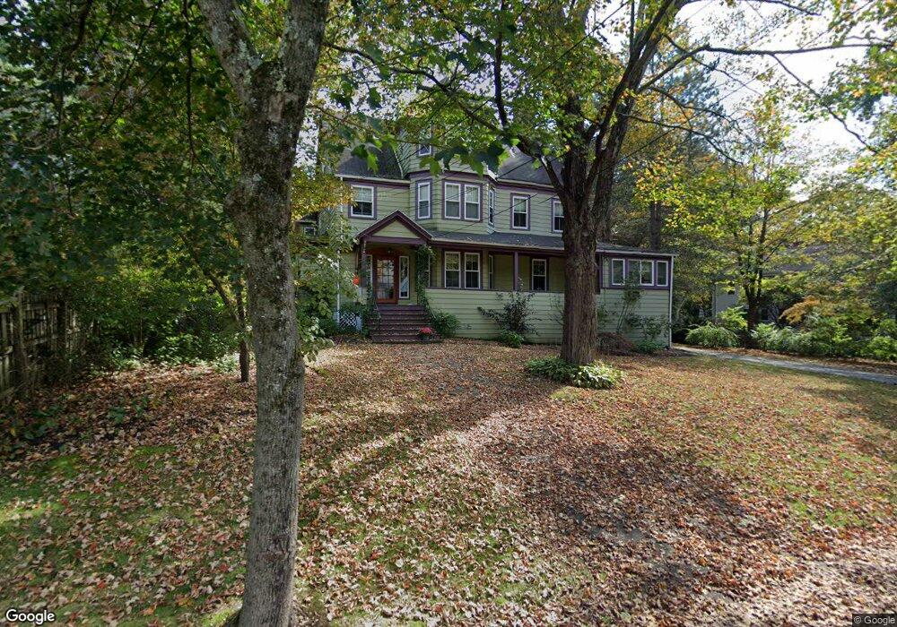
40 Williston Rd Auburndale, MA 02466
Auburndale NeighborhoodEstimated Value: $1,923,382
6
Beds
4
Baths
4,533
Sq Ft
$424/Sq Ft
Est. Value
About This Home
This home is located at 40 Williston Rd, Auburndale, MA 02466 and is currently estimated at $1,923,382, approximately $424 per square foot. 40 Williston Rd is a home located in Middlesex County with nearby schools including Williams Elementary School, Charles E Brown Middle School, and Newton South High School.
Ownership History
Date
Name
Owned For
Owner Type
Purchase Details
Closed on
May 1, 2025
Sold by
Brooks David and Brooks Lauren
Bought by
Brooks Lt and Brooks
Current Estimated Value
Purchase Details
Closed on
Feb 12, 2004
Sold by
Kaufman Rt and Berlin
Bought by
Brooks David and Brooks Lauren
Home Financials for this Owner
Home Financials are based on the most recent Mortgage that was taken out on this home.
Original Mortgage
$383,000
Interest Rate
5.82%
Mortgage Type
Commercial
Create a Home Valuation Report for This Property
The Home Valuation Report is an in-depth analysis detailing your home's value as well as a comparison with similar homes in the area
Home Values in the Area
Average Home Value in this Area
Purchase History
| Date | Buyer | Sale Price | Title Company |
|---|---|---|---|
| Brooks Lt | -- | None Available | |
| Brooks Lt | -- | None Available | |
| Brooks David | $896,000 | -- | |
| Brooks David | $896,000 | -- |
Source: Public Records
Mortgage History
| Date | Status | Borrower | Loan Amount |
|---|---|---|---|
| Previous Owner | Brooks David | $383,000 | |
| Previous Owner | Brooks David | $15,000 |
Source: Public Records
Tax History
| Year | Tax Paid | Tax Assessment Tax Assessment Total Assessment is a certain percentage of the fair market value that is determined by local assessors to be the total taxable value of land and additions on the property. | Land | Improvement |
|---|---|---|---|---|
| 2025 | $21,234 | $2,166,700 | $1,192,300 | $974,400 |
| 2024 | -- | $2,103,600 | $1,157,600 | $946,000 |
| 2023 | $0 | $1,955,200 | $916,200 | $1,039,000 |
| 2022 | $0 | $1,810,400 | $848,300 | $962,100 |
| 2021 | $0 | $1,707,900 | $800,300 | $907,600 |
| 2020 | $0 | $1,707,900 | $800,300 | $907,600 |
| 2019 | $0 | $1,658,200 | $777,000 | $881,200 |
| 2018 | $0 | $1,584,400 | $692,000 | $892,400 |
| 2017 | $0 | $1,510,800 | $652,800 | $858,000 |
| 2016 | -- | $1,412,000 | $610,100 | $801,900 |
| 2015 | -- | $1,319,600 | $570,200 | $749,400 |
Source: Public Records
Map
Nearby Homes
- 12 Oakwood Rd
- 17 Lasell St
- 2202 Commonwealth Ave Unit 1
- 283 Melrose St
- 226 Auburn St Unit 226
- 10 Higgins St
- 232 Melrose St Unit 2
- 194 Auburn St
- 1754 Washington St
- 1919 Commonwealth Ave Unit 1919
- 1917 Commonwealth Ave Unit 1917
- 7 Sharon Ave Unit 7
- 305 Webster St Unit 2
- 577 Grove St
- 160 Pine St Unit 15
- 160 Pine St Unit 12
- 0 Duncan Rd Unit 72925240
- 49 Staniford St
- 447 Waban Ave
- 64 Varick Rd
- 36 Williston Rd
- 52 Williston Rd
- 30 Williston Rd
- 147 Hancock St
- 43 Williston Rd
- 37 Williston Rd
- 47 Williston Rd
- 60 Williston Rd
- 191 Grove St
- 16 Williston Rd
- 4 Leighton Rd
- 55 Williston Rd
- 11 Virginia Rd
- 139 Hancock St
- 10 Leighton Rd
- 197 Grove St
- 66 Williston Rd
- 63 Williston Rd
- 1 Leighton Rd
- 36 Oakwood Rd
Your Personal Tour Guide
Ask me questions while you tour the home.