40 Wilson Dr Scarborough, ME 04074
Estimated Value: $1,675,000 - $2,421,155
4
Beds
4
Baths
4,312
Sq Ft
$475/Sq Ft
Est. Value
About This Home
This home is located at 40 Wilson Dr, Scarborough, ME 04074 and is currently estimated at $2,048,078, approximately $474 per square foot. 40 Wilson Dr is a home with nearby schools including Scarborough High School and Cornerstone Baptist Academy.
Ownership History
Date
Name
Owned For
Owner Type
Purchase Details
Closed on
Nov 3, 2020
Sold by
Libby Construction Inc
Bought by
Libby Richard A and Libby Kirsten K
Current Estimated Value
Home Financials for this Owner
Home Financials are based on the most recent Mortgage that was taken out on this home.
Original Mortgage
$520,400
Outstanding Balance
$463,791
Interest Rate
2.8%
Mortgage Type
Stand Alone Refi Refinance Of Original Loan
Estimated Equity
$1,584,287
Purchase Details
Closed on
Aug 4, 2020
Sold by
Mtr Development Llc
Bought by
Libby Construction Inc
Home Financials for this Owner
Home Financials are based on the most recent Mortgage that was taken out on this home.
Original Mortgage
$84,000
Interest Rate
3.2%
Mortgage Type
New Conventional
Purchase Details
Closed on
Jun 23, 2017
Sold by
Hughes Harry M
Bought by
Dunstan Common Llc
Create a Home Valuation Report for This Property
The Home Valuation Report is an in-depth analysis detailing your home's value as well as a comparison with similar homes in the area
Home Values in the Area
Average Home Value in this Area
Purchase History
| Date | Buyer | Sale Price | Title Company |
|---|---|---|---|
| Libby Richard A | -- | None Available | |
| Libby Construction Inc | -- | None Available | |
| Libby Construction Inc | -- | None Available | |
| Dunstan Common Llc | -- | -- |
Source: Public Records
Mortgage History
| Date | Status | Borrower | Loan Amount |
|---|---|---|---|
| Open | Libby Richard A | $520,400 | |
| Previous Owner | Libby Construction Inc | $84,000 |
Source: Public Records
Tax History Compared to Growth
Tax History
| Year | Tax Paid | Tax Assessment Tax Assessment Total Assessment is a certain percentage of the fair market value that is determined by local assessors to be the total taxable value of land and additions on the property. | Land | Improvement |
|---|---|---|---|---|
| 2025 | $23,716 | $2,093,200 | $339,100 | $1,754,100 |
| 2024 | $21,697 | $1,985,100 | $339,100 | $1,646,000 |
| 2023 | $19,078 | $1,194,600 | $258,700 | $935,900 |
| 2022 | $17,894 | $1,162,700 | $258,700 | $904,000 |
| 2021 | $2,807 | $186,900 | $186,900 | $0 |
| 2020 | $2,898 | $195,000 | $195,000 | $0 |
| 2019 | $2,867 | $195,000 | $195,000 | $0 |
| 2017 | $2,764 | $167,600 | $167,600 | $0 |
| 2016 | $2,772 | $174,100 | $174,100 | $0 |
| 2015 | $2,697 | $174,100 | $174,100 | $0 |
| 2014 | $2,629 | $174,100 | $174,100 | $0 |
| 2013 | $2,571 | $174,100 | $174,100 | $0 |
Source: Public Records
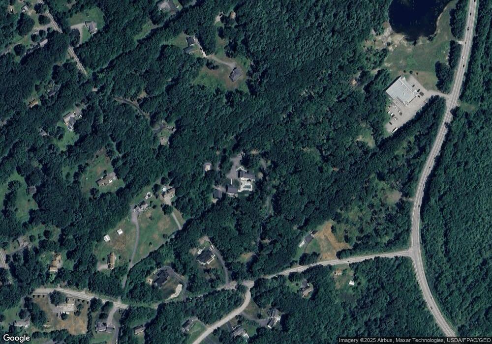
Map
Nearby Homes
- 46 Two Rod Rd
- 29-31 Haigis Pkwy
- 2 Bunker Hill Terrace
- 156 Scarborough Downs Rd Unit 330
- 93 Two Rod Rd
- 44 Two Rod Rd
- 18 Millbrook Rd
- 00 Payne Rd
- 255 Payne Rd
- 19 Millbrook Rd
- 1 Cross St Unit 103
- 1 Cross St Unit 214
- 1 Cross St Unit 437
- 1 Cross St Unit 213
- 1 Cross St Unit 108
- 1 Cross St Unit 105
- 1 Cross St Unit 211
- 1 Cross St Unit 110
- 1 Cross St Unit 325
- 1 Cross St Unit 107
- 47 Scottow Hill Rd
- 47 Scottow Hill Rd
- 57 Scottow Hill Rd
- 1 Scottow Way
- 59 Scottow Hill Rd
- 225 Innovation Way
- 37 Scottow Hill Rd
- 5 Madison Dr
- 2 Scottow Way
- 2 Madison Dr
- 36 Scottow Hill Rd
- 53 Scottow Hill Rd
- 2 Plantation Dr
- 61 Scottow Hill Rd
- 4 Madison Dr
- 1 Plantation Dr
- 4 Plantation Dr
- 34 Scottow Hill Rd
- 0 Scottow Hill Rd