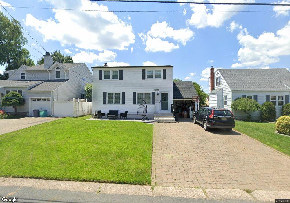
40 Windsor Dr Dumont, NJ 07628
Estimated Value: $601,000 - $646,000
Studio
--
Bath
1,367
Sq Ft
$452/Sq Ft
Est. Value
About This Home
This home is located at 40 Windsor Dr, Dumont, NJ 07628 and is currently estimated at $617,260, approximately $451 per square foot. 40 Windsor Dr is a home located in Bergen County with nearby schools including Dumont High School.
Ownership History
Date
Name
Owned For
Owner Type
Purchase Details
Closed on
Jun 23, 2016
Sold by
Jaworski Brandon and Jaworski Michelle
Bought by
Rooney Michael James and Rooney Kellie Maria
Current Estimated Value
Home Financials for this Owner
Home Financials are based on the most recent Mortgage that was taken out on this home.
Original Mortgage
$320,000
Outstanding Balance
$254,933
Interest Rate
3.6%
Mortgage Type
New Conventional
Estimated Equity
$362,327
Purchase Details
Closed on
Sep 13, 2013
Sold by
Brown Michael A and Brown Maria Benedicta E
Bought by
Jaworski Brandon and Jaworski Michelle
Home Financials for this Owner
Home Financials are based on the most recent Mortgage that was taken out on this home.
Original Mortgage
$305,000
Interest Rate
4.42%
Mortgage Type
New Conventional
Purchase Details
Closed on
Oct 31, 1997
Sold by
Hawksby Donald and Hawksby Carmen
Bought by
Brown Michael A and Brown Maria Benedicta A
Create a Home Valuation Report for This Property
The Home Valuation Report is an in-depth analysis detailing your home's value as well as a comparison with similar homes in the area
Home Values in the Area
Average Home Value in this Area
Purchase History
| Date | Buyer | Sale Price | Title Company |
|---|---|---|---|
| Rooney Michael James | $400,000 | None Available | |
| Jaworski Brandon | $324,999 | -- | |
| Brown Michael A | $159,000 | Old Republic Title |
Source: Public Records
Mortgage History
| Date | Status | Borrower | Loan Amount |
|---|---|---|---|
| Open | Rooney Michael James | $320,000 | |
| Previous Owner | Jaworski Brandon | $305,000 |
Source: Public Records
Tax History
| Year | Tax Paid | Tax Assessment Tax Assessment Total Assessment is a certain percentage of the fair market value that is determined by local assessors to be the total taxable value of land and additions on the property. | Land | Improvement |
|---|---|---|---|---|
| 2025 | $10,618 | $509,500 | $285,000 | $224,500 |
| 2024 | $10,357 | $261,200 | $160,000 | $101,200 |
| 2023 | $10,142 | $261,200 | $160,000 | $101,200 |
| 2022 | $10,142 | $261,200 | $160,000 | $101,200 |
| 2021 | $9,922 | $261,200 | $160,000 | $101,200 |
| 2020 | $9,819 | $261,200 | $160,000 | $101,200 |
| 2019 | $9,583 | $261,200 | $160,000 | $101,200 |
| 2018 | $9,388 | $261,200 | $160,000 | $101,200 |
| 2017 | $9,207 | $261,200 | $160,000 | $101,200 |
| 2016 | $8,993 | $261,200 | $160,000 | $101,200 |
| 2015 | $8,787 | $261,200 | $160,000 | $101,200 |
| 2014 | $8,614 | $261,200 | $160,000 | $101,200 |
Source: Public Records
Map
Nearby Homes
- 7 Overlook Dr
- 15 Pleasant St
- 112 Oxford Place
- 42 Lenox Ave
- 292 Magnolia Ave
- 206 10th St
- 136 Elm St
- 15 Dunn Place
- 79 Blauvelt Ave
- 119 Stonegate Trail
- 40 Depew St
- 136 Stonegate Trail Unit 37
- 137 6th St
- 126 Grant Ave
- 196 Merritt Ave
- 181 Phelps Ave
- 19 Bedford Rd
- 110 New York Ave
- 168 4th St
- 95 W Shore Ave
Your Personal Tour Guide
Ask me questions while you tour the home.