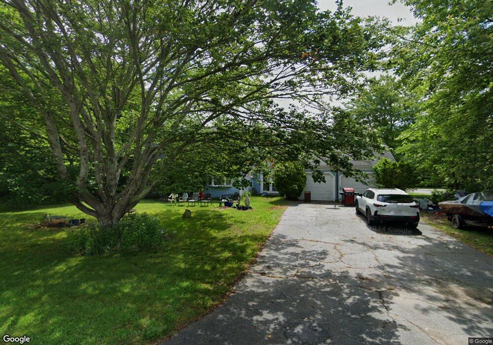
40 Windsor Rd Sandwich, MA 02563
Estimated Value: $464,000 - $630,000
4
Beds
3
Baths
1,550
Sq Ft
$348/Sq Ft
Est. Value
About This Home
This home is located at 40 Windsor Rd, Sandwich, MA 02563 and is currently estimated at $539,367, approximately $347 per square foot. 40 Windsor Rd is a home located in Barnstable County with nearby schools including Sandwich Middle High School, Sandwich Montessori School, and Waldorf School of Cape Cod.
Ownership History
Date
Name
Owned For
Owner Type
Purchase Details
Closed on
Mar 31, 2025
Sold by
Reber Gary L
Bought by
Manganella Paul J and Manganella Emeline M
Current Estimated Value
Home Financials for this Owner
Home Financials are based on the most recent Mortgage that was taken out on this home.
Original Mortgage
$427,500
Outstanding Balance
$424,940
Interest Rate
6.87%
Mortgage Type
Purchase Money Mortgage
Estimated Equity
$114,427
Purchase Details
Closed on
May 7, 1991
Sold by
Lozoski Shirley A
Bought by
State St Bk & Tr Co
Home Financials for this Owner
Home Financials are based on the most recent Mortgage that was taken out on this home.
Original Mortgage
$75,000
Interest Rate
9.4%
Create a Home Valuation Report for This Property
The Home Valuation Report is an in-depth analysis detailing your home's value as well as a comparison with similar homes in the area
Purchase History
| Date | Buyer | Sale Price | Title Company |
|---|---|---|---|
| Manganella Paul J | $450,000 | None Available | |
| Manganella Paul J | $450,000 | None Available | |
| State St Bk & Tr Co | $89,600 | -- | |
| State St Bk & Tr Co | $89,600 | -- |
Source: Public Records
Mortgage History
| Date | Status | Borrower | Loan Amount |
|---|---|---|---|
| Open | Manganella Paul J | $427,500 | |
| Closed | Manganella Paul J | $427,500 | |
| Previous Owner | State St Bk & Tr Co | $65,000 | |
| Previous Owner | State St Bk & Tr Co | $75,000 |
Source: Public Records
Tax History
| Year | Tax Paid | Tax Assessment Tax Assessment Total Assessment is a certain percentage of the fair market value that is determined by local assessors to be the total taxable value of land and additions on the property. | Land | Improvement |
|---|---|---|---|---|
| 2025 | $5,576 | $527,500 | $191,400 | $336,100 |
| 2024 | $5,275 | $488,400 | $170,900 | $317,500 |
| 2023 | $5,159 | $448,600 | $155,400 | $293,200 |
| 2022 | $4,948 | $376,000 | $138,700 | $237,300 |
| 2021 | $4,758 | $345,500 | $133,400 | $212,100 |
| 2020 | $4,744 | $331,500 | $130,300 | $201,200 |
| 2019 | $4,532 | $316,500 | $127,900 | $188,600 |
| 2018 | $5,416 | $298,900 | $123,500 | $175,400 |
| 2017 | $5,369 | $283,200 | $119,500 | $163,700 |
| 2016 | $4,020 | $277,800 | $118,300 | $159,500 |
| 2015 | $3,902 | $263,300 | $106,500 | $156,800 |
Source: Public Records
Map
Nearby Homes
- 17 Kensington Dr
- 46 Kensington Dr
- 6 Granite Cir
- 5 Bluestone Terrace
- 33 Easterly Dr
- 363 Service Rd
- 86 Greenville Dr
- 24 Surrey Ln
- 7 Horseshoe Cir
- 28 Spinnaker St
- 12 Crowell Rd
- 57 Grand Oak Rd
- 185 Cotuit Rd Unit JP1
- 185 Cotuit Rd Unit C5 Aspen
- 2 Rockhill Rd
- 7 Mary Leal Ln
- 5 Rockhill Rd
- 2 Marie Ln
- 3 Hilltop Dr Unit 3
- 13 Checkerberry Ln
Your Personal Tour Guide
Ask me questions while you tour the home.