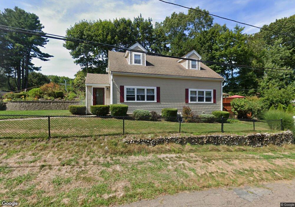
40 Wingate Rd East Weymouth, MA 02189
East Weymouth NeighborhoodEstimated Value: $555,072 - $708,000
2
Beds
1
Bath
800
Sq Ft
$756/Sq Ft
Est. Value
About This Home
This home is located at 40 Wingate Rd, East Weymouth, MA 02189 and is currently estimated at $604,518, approximately $755 per square foot. 40 Wingate Rd is a home located in Norfolk County with nearby schools including Abigail Adams Middle School, Weymouth Middle School Chapman, and Weymouth High School.
Ownership History
Date
Name
Owned For
Owner Type
Purchase Details
Closed on
Jul 29, 2025
Sold by
Wilson Allen and Wilson Mary O
Bought by
Wilson Ft and Wilson
Current Estimated Value
Purchase Details
Closed on
Apr 25, 2003
Sold by
Stella Jason E and Stella Naomi R
Bought by
Wilson Allen and Wilson Mary O
Home Financials for this Owner
Home Financials are based on the most recent Mortgage that was taken out on this home.
Original Mortgage
$236,193
Interest Rate
5.64%
Mortgage Type
Purchase Money Mortgage
Purchase Details
Closed on
Jun 18, 1996
Sold by
Buffington Daniel L
Bought by
Stella Jason E and Stella Naomi R
Home Financials for this Owner
Home Financials are based on the most recent Mortgage that was taken out on this home.
Original Mortgage
$80,000
Interest Rate
7.97%
Mortgage Type
Purchase Money Mortgage
Create a Home Valuation Report for This Property
The Home Valuation Report is an in-depth analysis detailing your home's value as well as a comparison with similar homes in the area
Home Values in the Area
Average Home Value in this Area
Purchase History
| Date | Buyer | Sale Price | Title Company |
|---|---|---|---|
| Wilson Ft | -- | -- | |
| Wilson Ft | -- | -- | |
| Wilson Allen | $239,900 | -- | |
| Wilson Allen | $239,900 | -- | |
| Stella Jason E | $82,500 | -- | |
| Stella Jason E | $82,500 | -- |
Source: Public Records
Mortgage History
| Date | Status | Borrower | Loan Amount |
|---|---|---|---|
| Previous Owner | Wilson Allen | $236,193 | |
| Previous Owner | Stella Jason E | $80,000 |
Source: Public Records
Tax History Compared to Growth
Tax History
| Year | Tax Paid | Tax Assessment Tax Assessment Total Assessment is a certain percentage of the fair market value that is determined by local assessors to be the total taxable value of land and additions on the property. | Land | Improvement |
|---|---|---|---|---|
| 2025 | $4,071 | $403,100 | $196,800 | $206,300 |
| 2024 | $3,944 | $384,000 | $187,400 | $196,600 |
| 2023 | $3,923 | $375,400 | $173,500 | $201,900 |
| 2022 | $3,841 | $335,200 | $160,700 | $174,500 |
| 2021 | $3,581 | $305,000 | $160,700 | $144,300 |
| 2020 | $3,451 | $289,500 | $160,700 | $128,800 |
| 2019 | $3,368 | $277,900 | $154,500 | $123,400 |
| 2018 | $3,271 | $261,700 | $147,100 | $114,600 |
| 2017 | $3,135 | $244,700 | $140,200 | $104,500 |
| 2016 | $3,013 | $235,400 | $134,800 | $100,600 |
| 2015 | $2,923 | $226,600 | $134,800 | $91,800 |
| 2014 | $2,905 | $218,400 | $125,400 | $93,000 |
Source: Public Records
Map
Nearby Homes
- 30 Puritan Rd
- 2 Winstead Rd
- 425 East St
- 43 Flint Locke Dr
- 320 Green St
- 56 Putnam St
- 20 Richards Rd
- 59 Katherine St
- 109 Merryknoll Rd
- 669 Commercial St
- 7 Stevens Way
- 29-31 Broad Street Place
- 145 Jaffrey St
- 575 Broad St Unit 305
- 575 Broad St Unit 215
- 65 Saning Rd
- 88 Saning Rd
- 171 Fort Hill St
- 38 School St Unit 2
- 17 Grove St
- 45 Saint Anne Rd
- 37 Saint Anne Rd
- 39 Wingate Rd
- 46 Wingate Rd
- 33 Wingate Rd
- 43 Wingate Rd
- 26 Wingate Rd
- 49 Saint Anne Rd
- 31 Saint Anne Rd
- 47 Wingate Rd
- 25 Wingate Rd
- 56 Wingate Rd
- 57 Saint Anne Rd
- 53 Wingate Rd
- 25 Saint Anne Rd
- 19 Wingate Rd
- 14 Wingate Rd
- 48 Puritan Rd
- 44 Saint Anne Rd
- 56 Puritan Rd