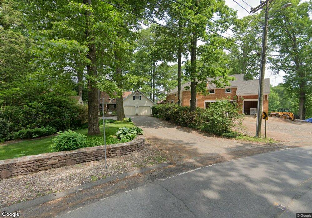
40 Woodpond Rd West Hartford, CT 06107
Estimated Value: $933,000 - $1,098,000
4
Beds
3
Baths
2,905
Sq Ft
$359/Sq Ft
Est. Value
About This Home
This home is located at 40 Woodpond Rd, West Hartford, CT 06107 and is currently estimated at $1,041,878, approximately $358 per square foot. 40 Woodpond Rd is a home located in Hartford County with nearby schools including Wolcott School, Sedgwick Middle School, and Conard High School.
Ownership History
Date
Name
Owned For
Owner Type
Purchase Details
Closed on
Jun 11, 2024
Sold by
Levitz Paula M and Levitz Mark S
Bought by
Levitz Paula M and Levitz Mark S
Current Estimated Value
Purchase Details
Closed on
Mar 2, 1998
Sold by
Morris Mary N
Bought by
Levitz Paula M
Create a Home Valuation Report for This Property
The Home Valuation Report is an in-depth analysis detailing your home's value as well as a comparison with similar homes in the area
Home Values in the Area
Average Home Value in this Area
Purchase History
| Date | Buyer | Sale Price | Title Company |
|---|---|---|---|
| Levitz Paula M | -- | None Available | |
| Levitz Paula M | -- | None Available | |
| Levitz Paula M | $299,900 | -- | |
| Levitz Paula M | $299,900 | -- |
Source: Public Records
Mortgage History
| Date | Status | Borrower | Loan Amount |
|---|---|---|---|
| Previous Owner | Levitz Paula M | $14,343 |
Source: Public Records
Tax History Compared to Growth
Tax History
| Year | Tax Paid | Tax Assessment Tax Assessment Total Assessment is a certain percentage of the fair market value that is determined by local assessors to be the total taxable value of land and additions on the property. | Land | Improvement |
|---|---|---|---|---|
| 2025 | $22,070 | $492,850 | $304,200 | $188,650 |
| 2024 | $20,872 | $492,850 | $304,200 | $188,650 |
| 2023 | $20,167 | $492,850 | $304,200 | $188,650 |
| 2022 | $20,049 | $492,850 | $304,200 | $188,650 |
| 2021 | $17,908 | $422,170 | $292,500 | $129,670 |
| 2020 | $19,636 | $469,770 | $301,000 | $168,770 |
| 2019 | $19,636 | $469,770 | $301,000 | $168,770 |
| 2018 | $19,261 | $469,770 | $301,000 | $168,770 |
| 2017 | $19,279 | $469,770 | $301,000 | $168,770 |
| 2016 | $18,408 | $465,920 | $291,130 | $174,790 |
| 2015 | $17,849 | $465,920 | $291,130 | $174,790 |
| 2014 | $17,411 | $465,920 | $291,130 | $174,790 |
Source: Public Records
Map
Nearby Homes
- 32 Miles Standish Dr
- 34 Sandhurst Dr
- 61 Waterside Ln
- 236 Ridgewood Rd
- 1 Valley Crest Dr
- 281 South Rd
- 43 Burnham Dr
- 25 Fowler Dr
- 29 Fairwood Farms Dr
- 24 Thorne Rd Unit 24
- 371 Middle Rd
- 11 Fairwood Farms Dr
- 00 Old Farm Dr
- 479 S Main St
- 422 S Main St
- 39 Pheasant Hill Dr
- 43 Spring Ln
- 50 Tunxis Rd
- 18 Federal St
- 73 Emily Way
- 38 Woodpond Rd
- 46 Woodpond Rd
- 52 Woodpond Rd
- 39 Woodpond Rd
- 58 Woodpond Rd
- 33 Woodpond Rd
- 47 Woodpond Rd
- 51 Woodpond Rd
- 64 Woodpond Rd
- 55 Woodpond Rd
- 23 Woodpond Rd
- 28 Steep Hollow Ln
- 59 Woodpond Rd
- 59 Wood Pond Rd
- 70 Woodpond Rd
- 41 Steep Hollow Ln
- 65 Woodpond Rd
- 22 Steep Hollow Ln
- 32 Steep Hollow Ln
- 19 Woodpond Rd