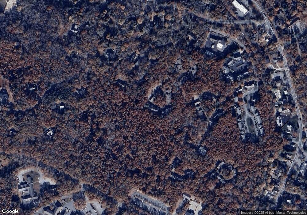
40 Woodrise Falmouth, MA 02540
Estimated Value: $374,000 - $515,000
2
Beds
2
Baths
1,308
Sq Ft
$361/Sq Ft
Est. Value
About This Home
This home is located at 40 Woodrise, Falmouth, MA 02540 and is currently estimated at $471,929, approximately $360 per square foot. 40 Woodrise is a home located in Barnstable County with nearby schools including Mullen-Hall School, Morse Pond School, and Lawrence School.
Ownership History
Date
Name
Owned For
Owner Type
Purchase Details
Closed on
Apr 28, 2016
Sold by
Fnma
Bought by
Battee Shelly L
Current Estimated Value
Home Financials for this Owner
Home Financials are based on the most recent Mortgage that was taken out on this home.
Original Mortgage
$159,650
Outstanding Balance
$127,382
Interest Rate
3.73%
Mortgage Type
New Conventional
Estimated Equity
$344,547
Purchase Details
Closed on
Oct 15, 1997
Sold by
Oswald Theresa
Bought by
Thompson Leslie M and Moseley Christopher L
Create a Home Valuation Report for This Property
The Home Valuation Report is an in-depth analysis detailing your home's value as well as a comparison with similar homes in the area
Home Values in the Area
Average Home Value in this Area
Purchase History
| Date | Buyer | Sale Price | Title Company |
|---|---|---|---|
| Battee Shelly L | $177,400 | -- | |
| Thompson Leslie M | $115,500 | -- |
Source: Public Records
Mortgage History
| Date | Status | Borrower | Loan Amount |
|---|---|---|---|
| Open | Battee Shelly L | $159,650 |
Source: Public Records
Tax History Compared to Growth
Tax History
| Year | Tax Paid | Tax Assessment Tax Assessment Total Assessment is a certain percentage of the fair market value that is determined by local assessors to be the total taxable value of land and additions on the property. | Land | Improvement |
|---|---|---|---|---|
| 2025 | $1,996 | $340,000 | $0 | $340,000 |
| 2024 | $2,017 | $321,200 | $0 | $321,200 |
| 2023 | $2,088 | $301,700 | $0 | $301,700 |
| 2022 | $2,043 | $253,800 | $0 | $253,800 |
| 2021 | $2,066 | $243,000 | $0 | $243,000 |
| 2020 | $2,087 | $243,000 | $0 | $243,000 |
| 2019 | $2,005 | $234,200 | $0 | $234,200 |
| 2018 | $1,937 | $225,200 | $0 | $225,200 |
| 2017 | $1,750 | $205,200 | $0 | $205,200 |
| 2016 | $1,695 | $202,500 | $0 | $202,500 |
| 2015 | $1,658 | $202,500 | $0 | $202,500 |
| 2014 | $1,640 | $201,200 | $0 | $201,200 |
Source: Public Records
Map
Nearby Homes
- 10 Shanks Pond Rd
- 21 Braeside Rd
- 33 Oakwood Ave
- 354 Gifford St Unit 5
- 354 Gifford St Unit 2
- 354 Gifford St Unit 6
- 30 Katherine Lee Bates Rd
- 116 Saconesset Rd
- 27 Woodview Dr Unit C
- 27 Woodview Dr Unit C
- 11 Barnabas Rd
- 71 Main St
- 37 Rydal Mount Dr
- 98 Main St
- 98 Main St Unit 1
- 63 Pine Valley Dr Unit 63 aka 30A
- 13 Two Ponds Rd
- 110 Dillingham Ave Unit 322
- 110 Dillingham Ave Unit 224
- 41 Woodrise
- 39 Woodrise
- 38 Woodrise
- 39 Woodrise Unit 39
- 38 Woodrise Unit 38
- 40 Woodrise Unit 40
- 37 Woodrise
- 36 Woodrise
- 35 Woodrise
- 36 Woodrise Unit 36
- 34 Woodrise
- 33 Woodrise
- 32 Woodrise
- 41 Goodings Way
- 39 Goodings Way
- 0 Woodrise Rd Unit U-13 5007432
- 0 Woodrise Rd Unit 7
- 28 Goodings Way
- 19 Woodrise
- 18 Woodrise
