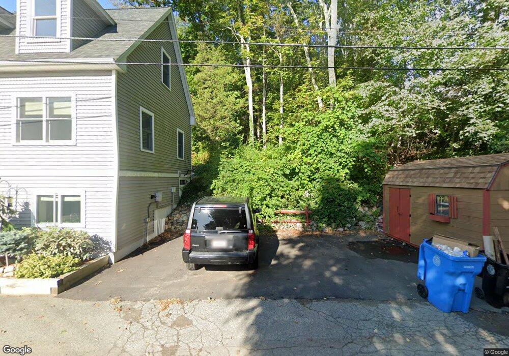
40 Woolford Rd Wrentham, MA 02093
Estimated Value: $511,000 - $759,000
2
Beds
2
Baths
1,290
Sq Ft
$500/Sq Ft
Est. Value
About This Home
This home is located at 40 Woolford Rd, Wrentham, MA 02093 and is currently estimated at $645,124, approximately $500 per square foot. 40 Woolford Rd is a home located in Norfolk County with nearby schools including Delaney Elementary School and Charles E Roderick.
Ownership History
Date
Name
Owned For
Owner Type
Purchase Details
Closed on
Jun 15, 1995
Sold by
May William J and May Inez D
Bought by
Hewitt Patricia
Current Estimated Value
Create a Home Valuation Report for This Property
The Home Valuation Report is an in-depth analysis detailing your home's value as well as a comparison with similar homes in the area
Home Values in the Area
Average Home Value in this Area
Purchase History
| Date | Buyer | Sale Price | Title Company |
|---|---|---|---|
| Hewitt Patricia | $180,000 | -- |
Source: Public Records
Mortgage History
| Date | Status | Borrower | Loan Amount |
|---|---|---|---|
| Previous Owner | Hewitt Patricia | $110,000 | |
| Previous Owner | Hewitt Patricia | $115,000 |
Source: Public Records
Tax History Compared to Growth
Tax History
| Year | Tax Paid | Tax Assessment Tax Assessment Total Assessment is a certain percentage of the fair market value that is determined by local assessors to be the total taxable value of land and additions on the property. | Land | Improvement |
|---|---|---|---|---|
| 2025 | $5,611 | $484,100 | $244,000 | $240,100 |
| 2024 | $5,264 | $438,700 | $244,000 | $194,700 |
| 2023 | $5,044 | $399,700 | $221,800 | $177,900 |
| 2022 | $5,197 | $380,200 | $215,800 | $164,400 |
| 2021 | $5,046 | $358,600 | $201,600 | $157,000 |
| 2020 | $4,452 | $312,400 | $153,900 | $158,500 |
| 2019 | $4,376 | $309,900 | $153,900 | $156,000 |
| 2018 | $4,857 | $341,100 | $184,900 | $156,200 |
| 2017 | $4,581 | $321,500 | $181,400 | $140,100 |
| 2016 | $4,504 | $315,400 | $176,100 | $139,300 |
| 2015 | $4,310 | $287,700 | $169,300 | $118,400 |
| 2014 | $4,241 | $277,000 | $162,800 | $114,200 |
Source: Public Records
Map
Nearby Homes
- 570 Franklin St
- 131 Creek St Unit 7
- Lot 3 - 14 Earle Stewart Ln
- Lot 1 - Blueberry 2 Car Plan at King Philip Estates
- Lot 8 - Blueberry 2 Car Plan at King Philip Estates
- Lot 5 - Hughes 2 car Plan at King Philip Estates
- Lot 6 - Blueberry 3 Car Plan at King Philip Estates
- Lot 2 - Camden 2 Car Plan at King Philip Estates
- Lot 7 - Cedar Plan at King Philip Estates
- Lot 4 - Hemingway 2 Car Plan at King Philip Estates
- Lot 3 - Blueberry 2 Car Plan at King Philip Estates
- 11 Earle Stewart Ln
- 50 Reed Fulton Ave Unit Lot 61
- 10 Nature View Dr
- 15 Nature View Dr
- 440 Chestnut St
- 6 Woodchester Rd
- 55 Lawrence Dr Unit 55
- 791 South St Unit 5
- 0 Fall Ln
- 12 Woolford Rd
- 20 Woolford Rd
- 30 Woolford Rd
- 50 Woolford Rd
- 14 Woolford Rd
- 14 Woolford Rd Unit 1
- 10 Woolford Rd
- 10 Woolford Rd Unit R
- 10 Woolford Rd
- 10 Woolford Rd Unit (REAR)
- 25 Woolford Rd
- 10 Woolford Road (Rear)
- 10 Woolford Road (Rear)
- 48 Woolford Rd
- 27 Woolford Rd
- 41 Woolford Rd
- 60 Woolford Rd
- LOT 1 Woolford Rd
- 5 Woolford Rd
- 11 Woolford Rd