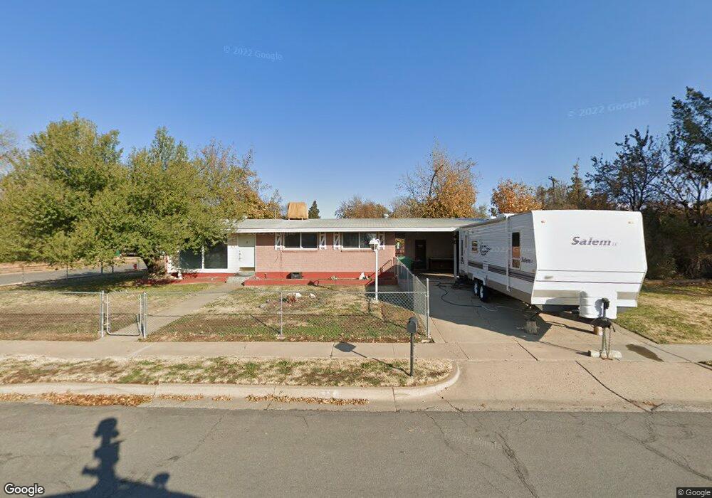
40 Zircon Cir Layton, UT 84041
Estimated Value: $389,000 - $422,000
5
Beds
1
Bath
2,000
Sq Ft
$203/Sq Ft
Est. Value
About This Home
This home is located at 40 Zircon Cir, Layton, UT 84041 and is currently estimated at $406,777, approximately $203 per square foot. 40 Zircon Cir is a home located in Davis County with nearby schools including Crestview Elementary School, Central Davis Junior High School, and Layton High School.
Ownership History
Date
Name
Owned For
Owner Type
Purchase Details
Closed on
Feb 27, 2023
Sold by
Ortiz Rita
Bought by
Mendez Nery Alonso and Santos Wuilber A
Current Estimated Value
Home Financials for this Owner
Home Financials are based on the most recent Mortgage that was taken out on this home.
Original Mortgage
$22,917
Outstanding Balance
$22,195
Interest Rate
6.5%
Estimated Equity
$384,582
Purchase Details
Closed on
Jun 29, 2012
Sold by
Trujillo Cora
Bought by
Ortiz Rita
Create a Home Valuation Report for This Property
The Home Valuation Report is an in-depth analysis detailing your home's value as well as a comparison with similar homes in the area
Home Values in the Area
Average Home Value in this Area
Purchase History
| Date | Buyer | Sale Price | Title Company |
|---|---|---|---|
| Mendez Nery Alonso | -- | Old Republic Title | |
| Ortiz Rita | -- | None Available |
Source: Public Records
Mortgage History
| Date | Status | Borrower | Loan Amount |
|---|---|---|---|
| Open | Mendez Nery Alonso | $22,917 | |
| Open | Mendez Nery Alonso | $381,954 |
Source: Public Records
Tax History Compared to Growth
Tax History
| Year | Tax Paid | Tax Assessment Tax Assessment Total Assessment is a certain percentage of the fair market value that is determined by local assessors to be the total taxable value of land and additions on the property. | Land | Improvement |
|---|---|---|---|---|
| 2025 | $1,834 | $192,500 | $101,787 | $90,713 |
| 2024 | $1,758 | $185,900 | $118,303 | $67,597 |
| 2023 | $1,733 | $177,650 | $75,843 | $101,806 |
| 2022 | $3,191 | $323,000 | $134,045 | $188,955 |
| 2021 | $1,643 | $248,000 | $105,609 | $142,391 |
| 2020 | $1,492 | $216,000 | $87,935 | $128,065 |
| 2019 | $1,474 | $209,000 | $82,681 | $126,319 |
| 2018 | $1,320 | $188,000 | $82,681 | $105,319 |
| 2016 | $1,127 | $82,776 | $27,014 | $55,762 |
| 2015 | $1,091 | $74,196 | $27,014 | $47,182 |
| 2014 | $1,015 | $72,396 | $27,014 | $45,382 |
| 2013 | -- | $77,230 | $18,612 | $58,618 |
Source: Public Records
Map
Nearby Homes
- 480 Spurlock St
- 495 Spurlock St
- 441 Church St
- 1180 N 100 E
- 1096 N 300 W
- 937 Rainbow Dr
- 785 Sherwood Dr
- 103 W 1275 N
- 6 Grover St
- 142 Green Dr
- 526 King St Unit 2
- 324 E 1325 N
- 794 Valeria Dr
- 806 Valeria Dr
- 712 E Aspen East Dr
- 157 N Fort Ln Unit A
- 654 Colonial St
- 356 W 25 N
- 1490 N 175 W
- 355 W Gentile St