Estimated Value: $184,245 - $200,000
2
Beds
2
Baths
1,302
Sq Ft
$148/Sq Ft
Est. Value
About This Home
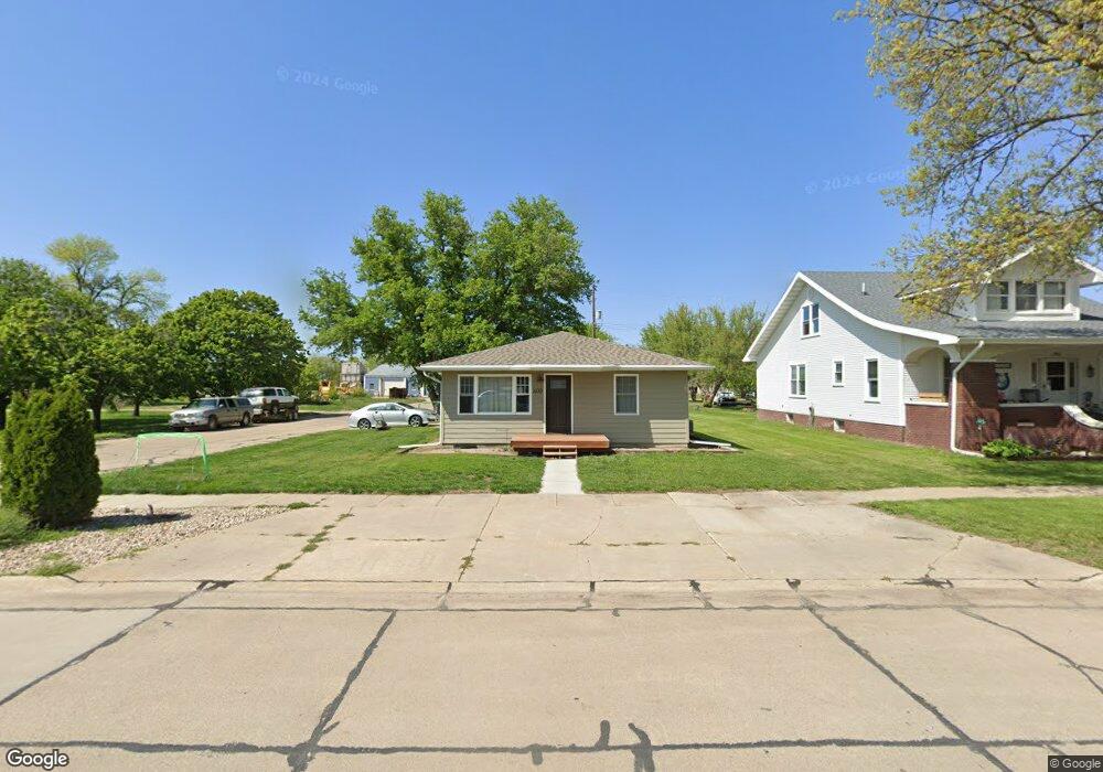
This home is located at 400 4th St, Utica, NE 68456 and is currently estimated at $192,061, approximately $147 per square foot. 400 4th St is a home located in Seward County with nearby schools including Centennial Elementary School, Centennial High School, and St. Paul Lutheran School.
Ownership History
Date
Name
Owned For
Owner Type
Purchase Details
Closed on
Feb 18, 2021
Sold by
Pankoke Leah H and Pankoke Benjamin
Bought by
Johnson Lauren E
Current Estimated Value
Home Financials for this Owner
Home Financials are based on the most recent Mortgage that was taken out on this home.
Original Mortgage
$133,375
Outstanding Balance
$119,186
Interest Rate
2.65%
Mortgage Type
New Conventional
Estimated Equity
$72,875
Purchase Details
Closed on
Aug 20, 2010
Sold by
Janes Rex W
Bought by
Mcclure Leah H
Create a Home Valuation Report for This Property
The Home Valuation Report is an in-depth analysis detailing your home's value as well as a comparison with similar homes in the area
Home Values in the Area
Average Home Value in this Area
Purchase History
| Date | Buyer | Sale Price | Title Company |
|---|---|---|---|
| Johnson Lauren E | $138,000 | Title Svcs Of Blue Valley Ll | |
| Mcclure Leah H | $74,000 | -- |
Source: Public Records
Mortgage History
| Date | Status | Borrower | Loan Amount |
|---|---|---|---|
| Open | Johnson Lauren E | $133,375 |
Source: Public Records
Tax History Compared to Growth
Tax History
| Year | Tax Paid | Tax Assessment Tax Assessment Total Assessment is a certain percentage of the fair market value that is determined by local assessors to be the total taxable value of land and additions on the property. | Land | Improvement |
|---|---|---|---|---|
| 2024 | $1,710 | $166,012 | $7,911 | $158,101 |
| 2023 | $1,941 | $151,159 | $7,911 | $143,248 |
| 2022 | $1,831 | $135,812 | $7,911 | $127,901 |
| 2021 | $1,580 | $120,464 | $7,911 | $112,553 |
| 2020 | $1,023 | $79,039 | $7,911 | $71,128 |
| 2019 | $996 | $78,698 | $7,882 | $70,816 |
| 2018 | $967 | $77,226 | $7,734 | $69,492 |
| 2017 | $924 | $71,118 | $7,366 | $63,752 |
| 2016 | $897 | $73,549 | $7,366 | $66,183 |
| 2015 | $861 | $73,549 | $7,366 | $66,183 |
| 2013 | $986 | $73,549 | $7,366 | $66,183 |
Source: Public Records
Map
Nearby Homes
- 410 B St
- 141 Bronco Cir
- 230 Montana Cir
- 703 420th
- 735 Dimery Ave
- 2307 Nebraska 69
- 1107 Road P
- 640 A St
- 1419 Road N
- 3027 Bluff Rd
- 0 Tbd 294 Rd Unit 11552208
- 0 Tbd 294 Rd Unit 24423505
- 2326 E 16th St
- 1802 E 17th St
- 1903 E 17th St
- Durango Plan at Shadow Brook
- Denver Plan at Shadow Brook
- Inca Plan at Shadow Brook
- Boulder Plan at Shadow Brook
- Vail II Plan at Shadow Brook