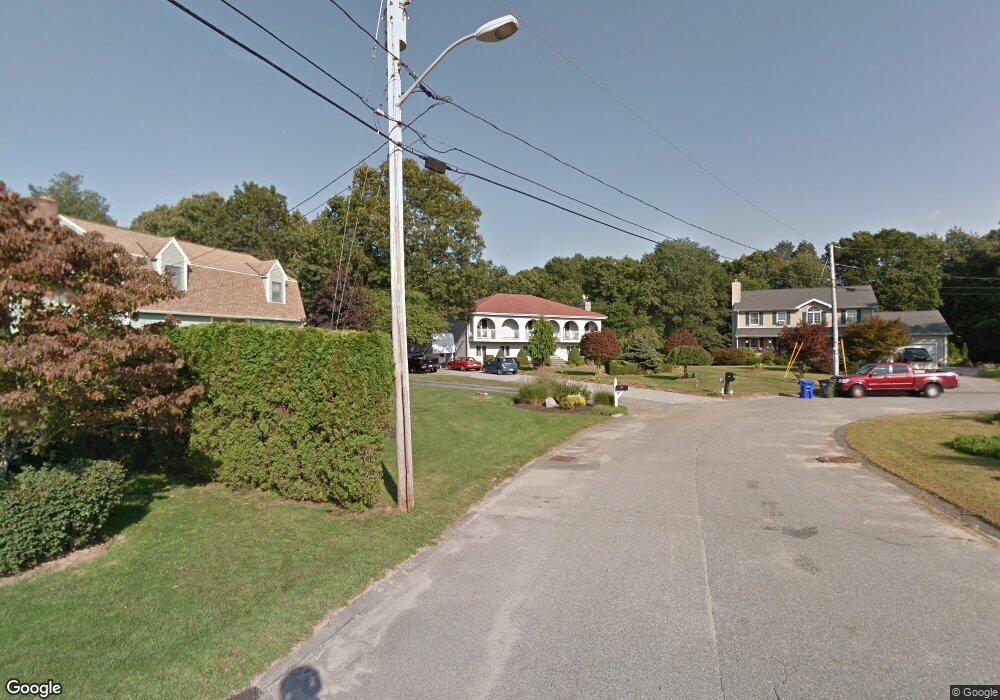
400 Blossom Hill Dr Westport, MA 02790
Estimated Value: $648,939 - $788,000
3
Beds
3
Baths
2,519
Sq Ft
$278/Sq Ft
Est. Value
About This Home
This home is located at 400 Blossom Hill Dr, Westport, MA 02790 and is currently estimated at $700,985, approximately $278 per square foot. 400 Blossom Hill Dr is a home with nearby schools including North End Elementary School, Talbot Innovation School, and B M C Durfee High School.
Ownership History
Date
Name
Owned For
Owner Type
Purchase Details
Closed on
Jun 21, 1990
Sold by
Shahdan Dev T Mello
Bought by
Faria Manuel A
Current Estimated Value
Home Financials for this Owner
Home Financials are based on the most recent Mortgage that was taken out on this home.
Original Mortgage
$35,000
Interest Rate
10.39%
Mortgage Type
Purchase Money Mortgage
Create a Home Valuation Report for This Property
The Home Valuation Report is an in-depth analysis detailing your home's value as well as a comparison with similar homes in the area
Home Values in the Area
Average Home Value in this Area
Purchase History
| Date | Buyer | Sale Price | Title Company |
|---|---|---|---|
| Faria Manuel A | $50,000 | -- |
Source: Public Records
Mortgage History
| Date | Status | Borrower | Loan Amount |
|---|---|---|---|
| Open | Faria Manuel A | $93,000 | |
| Closed | Faria Manuel A | $63,000 | |
| Closed | Faria Manuel A | $85,000 | |
| Closed | Faria Manuel A | $35,000 |
Source: Public Records
Tax History Compared to Growth
Tax History
| Year | Tax Paid | Tax Assessment Tax Assessment Total Assessment is a certain percentage of the fair market value that is determined by local assessors to be the total taxable value of land and additions on the property. | Land | Improvement |
|---|---|---|---|---|
| 2025 | $6,105 | $533,200 | $140,700 | $392,500 |
| 2024 | $5,565 | $484,300 | $135,400 | $348,900 |
| 2023 | $5,229 | $426,200 | $128,800 | $297,400 |
| 2022 | $4,744 | $375,900 | $119,300 | $256,600 |
| 2021 | $4,959 | $358,600 | $119,100 | $239,500 |
| 2020 | $4,888 | $338,300 | $112,500 | $225,800 |
| 2019 | $4,902 | $336,200 | $110,400 | $225,800 |
| 2018 | $4,583 | $313,500 | $110,400 | $203,100 |
| 2017 | $4,246 | $303,300 | $107,200 | $196,100 |
| 2016 | $3,830 | $281,000 | $107,200 | $173,800 |
| 2015 | $3,695 | $282,500 | $107,200 | $175,300 |
| 2014 | $3,554 | $282,500 | $107,200 | $175,300 |
Source: Public Records
Map
Nearby Homes
- 3 Diane Way
- 128 Old Bedford Rd
- 1276 Old Fall River Rd
- 309 Yellow Hill Rd
- 33 William St
- 125 Angell St
- 2 Donna Marie Dr
- 19 Charles Joseph Dr
- 6 Beaulieu St
- 25 Beaulieu St
- 85 Reney St
- 34 Alsop St
- 89 Lafayette St
- 219 Earle St Unit 3
- 217 Earle St Unit 2
- 215 Earle St Unit 1
- 172 Earle St
- 44 Fenmore St
- 23 Donna St
- 9 Register Ave
- 396 Blossom Hill Dr
- 405 Blossom Hill Dr
- 399 Blossom Hill Dr
- 380 Blossom Hill Dr
- 399 Blossom Hill Dr
- 385 Blossom Hill Dr
- 393 Blossom Hill Dr
- 363 Blossom Hill Dr
- 356 Blossom Hill Dr
- 341 Blossom Hill Dr
- 332 Blossom Hill Dr
- 315 Blossom Hill Dr
- 308 Blossom Hill Dr
- 289 Blossom Hill Dr
- 284 Blossom Hill Dr
- 261 Blossom Hill Dr
- 260 Blossom Hill Dr
- 236 Blossom Hill Dr
- 237 Blossom Hill Dr
- 263 Redwood Dr