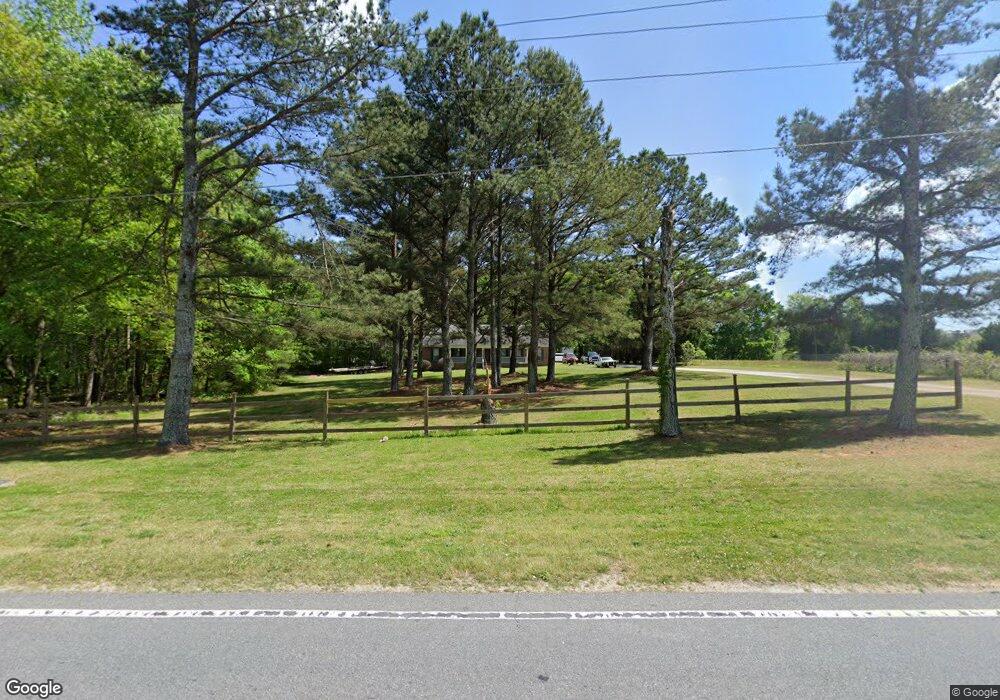
400 Brand Rd SW Unit 1 Loganville, GA 30052
Estimated Value: $457,321 - $503,000
3
Beds
3
Baths
2,020
Sq Ft
$236/Sq Ft
Est. Value
About This Home
This home is located at 400 Brand Rd SW Unit 1, Loganville, GA 30052 and is currently estimated at $477,580, approximately $236 per square foot. 400 Brand Rd SW Unit 1 is a home located in Gwinnett County with nearby schools including Trip Elementary School, Bay Creek Middle School, and Grayson High School.
Ownership History
Date
Name
Owned For
Owner Type
Purchase Details
Closed on
Jan 28, 2022
Sold by
Cruz Alexis
Bought by
Helton Sam Allen and Helton Tinita
Current Estimated Value
Purchase Details
Closed on
Sep 20, 2018
Sold by
Hill Wendy S
Bought by
Cruz Alexis and Cruz Rojelio Manuel
Home Financials for this Owner
Home Financials are based on the most recent Mortgage that was taken out on this home.
Original Mortgage
$212,087
Interest Rate
4.87%
Mortgage Type
FHA
Purchase Details
Closed on
Dec 17, 2013
Sold by
Hill Kenneth F
Bought by
Hill Hendy S
Purchase Details
Closed on
Apr 24, 1998
Sold by
Griffeth Oscar C
Bought by
Hill Kenneth F and Hill Wendy S
Create a Home Valuation Report for This Property
The Home Valuation Report is an in-depth analysis detailing your home's value as well as a comparison with similar homes in the area
Home Values in the Area
Average Home Value in this Area
Purchase History
| Date | Buyer | Sale Price | Title Company |
|---|---|---|---|
| Helton Sam Allen | $389,500 | -- | |
| Cruz Alexis | $216,000 | -- | |
| Hill Hendy S | -- | -- | |
| Hill Kenneth F | $24,000 | -- |
Source: Public Records
Mortgage History
| Date | Status | Borrower | Loan Amount |
|---|---|---|---|
| Previous Owner | Cruz Alexis | $212,087 |
Source: Public Records
Tax History Compared to Growth
Tax History
| Year | Tax Paid | Tax Assessment Tax Assessment Total Assessment is a certain percentage of the fair market value that is determined by local assessors to be the total taxable value of land and additions on the property. | Land | Improvement |
|---|---|---|---|---|
| 2024 | $5,758 | $175,520 | $56,000 | $119,520 |
| 2023 | $5,758 | $155,800 | $56,000 | $99,800 |
| 2022 | $4,932 | $126,640 | $33,600 | $93,040 |
| 2021 | $4,211 | $104,640 | $33,600 | $71,040 |
| 2020 | $4,234 | $104,640 | $33,600 | $71,040 |
| 2019 | $3,166 | $78,280 | $28,640 | $49,640 |
| 2018 | $2,874 | $78,280 | $28,640 | $49,640 |
| 2016 | $2,657 | $69,120 | $28,640 | $40,480 |
| 2015 | $2,686 | $69,120 | $28,640 | $40,480 |
| 2014 | $2,110 | $52,640 | $26,000 | $26,640 |
Source: Public Records
Map
Nearby Homes
- 3965 Pecan St
- 3825 Oak Grove Rd SW
- 63 Shadowhill Ct
- 101 Bennett Farm Dr
- 239 Jarrod Oaks Ct
- 89 Alameda St
- 89 Alameda St Unit 12
- 745 Henson Farm Dr
- 278 Jarrod Oaks Ct
- 321 Shadowbrooke Dr
- 370 Shadowbrooke Dr
- 0 Line St Unit 1014719
- 0 Line St Unit 7333945
- 0 Line St Unit 10249683
- 256 Teresa Ln
- 494 Henson Farm Dr
- 716 Wilkes Dr
- 3625 Oak Grove Rd SW
- 232 Misty Grove Dr
- 400 Brand Rd SW
- 3918 Pecan Rd
- 390 Brand Rd SW
- 395 Brand Rd SW
- 3979 Pecan St
- 3999 Pecan St
- 520 Brand Rd SW
- 355 Brand Rd SW
- 3816 Oak Grove Rd
- 3900 Oak Grove Rd
- 335 Brand Rd SW
- 335 Brand Rd SW Unit N/
- 156 Shadowhill Ln
- 166 Shadowhill Ln SW
- 166 Shadowhill Ln
- 146 Shadowhill Ln Unit 2
- 136 Shadowhill Ln Unit 2
- 126 Shadowhill Ln
- 179 Shadowhill Ln
- 116 Shadowhill Ln