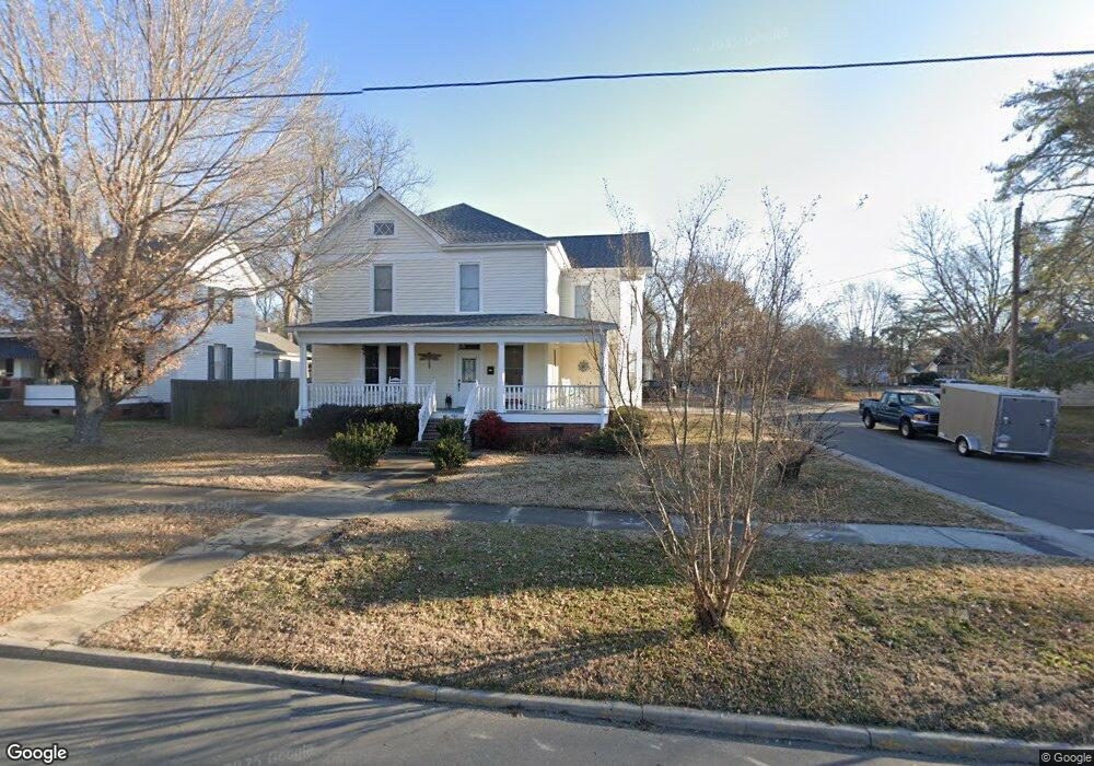
400 Broad St Oxford, NC 27565
Estimated Value: $357,844 - $443,000
3
Beds
3
Baths
3,022
Sq Ft
$132/Sq Ft
Est. Value
About This Home
This home is located at 400 Broad St, Oxford, NC 27565 and is currently estimated at $399,211, approximately $132 per square foot. 400 Broad St is a home located in Granville County with nearby schools including Stovall-Shaw Elementary School, Northern Granville Middle School, and J.F. Webb High School.
Ownership History
Date
Name
Owned For
Owner Type
Purchase Details
Closed on
Aug 26, 2008
Sold by
Frazier David A and Mcinnis Tony S
Bought by
Harmon William R and Harmon Anne W
Current Estimated Value
Home Financials for this Owner
Home Financials are based on the most recent Mortgage that was taken out on this home.
Original Mortgage
$158,100
Interest Rate
6.32%
Mortgage Type
New Conventional
Purchase Details
Closed on
Nov 29, 2007
Sold by
Rbc Centura Bank
Bought by
Frazier David A and Mcinnis Tony S
Home Financials for this Owner
Home Financials are based on the most recent Mortgage that was taken out on this home.
Original Mortgage
$73,000
Interest Rate
6.36%
Mortgage Type
New Conventional
Purchase Details
Closed on
Mar 28, 2007
Sold by
Thomas Amy M and Thomas Brent Daniel
Bought by
Centura Rbc
Create a Home Valuation Report for This Property
The Home Valuation Report is an in-depth analysis detailing your home's value as well as a comparison with similar homes in the area
Home Values in the Area
Average Home Value in this Area
Purchase History
| Date | Buyer | Sale Price | Title Company |
|---|---|---|---|
| Harmon William R | $186,000 | -- | |
| Frazier David A | $95,000 | -- | |
| Centura Rbc | $35,000 | -- |
Source: Public Records
Mortgage History
| Date | Status | Borrower | Loan Amount |
|---|---|---|---|
| Closed | Harmon William R | $158,100 | |
| Previous Owner | Frazier David A | $73,000 |
Source: Public Records
Tax History Compared to Growth
Tax History
| Year | Tax Paid | Tax Assessment Tax Assessment Total Assessment is a certain percentage of the fair market value that is determined by local assessors to be the total taxable value of land and additions on the property. | Land | Improvement |
|---|---|---|---|---|
| 2025 | $3,562 | $304,838 | $31,450 | $273,388 |
| 2024 | $3,562 | $304,838 | $31,450 | $273,388 |
| 2023 | $2,556 | $170,279 | $23,375 | $146,904 |
| 2022 | $2,545 | $170,279 | $23,375 | $146,904 |
| 2021 | $2,540 | $170,279 | $23,375 | $146,904 |
| 2020 | $2,540 | $170,279 | $23,375 | $146,904 |
| 2019 | $2,540 | $170,279 | $23,375 | $146,904 |
| 2018 | $2,540 | $170,279 | $23,375 | $146,904 |
| 2016 | $2,620 | $171,069 | $23,375 | $147,694 |
| 2015 | $2,530 | $171,069 | $23,375 | $147,694 |
| 2014 | $2,530 | $171,069 | $23,375 | $147,694 |
| 2013 | -- | $171,069 | $23,375 | $147,694 |
Source: Public Records
Map
Nearby Homes
- 114 Hays St
- 410 College St
- 112 Rectory St
- 214 College St
- 300 Coleman St
- 611 College St
- 120 Clement Ave
- 722 Baker St
- 106 Della St
- 735 Baker St
- 0 E McClanahan St
- 304 Lanier St
- 316 Keeneland Dr
- 9037 N Carolina 96
- 103 W Spring St
- 105 W Spring St
- 6609 Clearwater Dr
- 113 Phocian St
- 210 Orange St
- 43 Church St