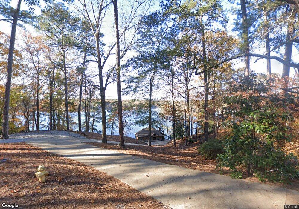
400 Burnt Log Dr Fortson, GA 31808
Estimated Value: $362,000 - $623,000
3
Beds
3
Baths
1,891
Sq Ft
$246/Sq Ft
Est. Value
About This Home
This home is located at 400 Burnt Log Dr, Fortson, GA 31808 and is currently estimated at $465,100, approximately $245 per square foot. 400 Burnt Log Dr is a home located in Harris County with nearby schools including New Mountain Hill Elementary School, Creekside School, and Harris County Carver Middle School.
Ownership History
Date
Name
Owned For
Owner Type
Purchase Details
Closed on
Feb 2, 2018
Sold by
Sholtis James E
Bought by
Butcher Allen R and Butcher Lisa
Current Estimated Value
Home Financials for this Owner
Home Financials are based on the most recent Mortgage that was taken out on this home.
Original Mortgage
$264,000
Outstanding Balance
$221,801
Interest Rate
3.95%
Mortgage Type
New Conventional
Estimated Equity
$243,299
Purchase Details
Closed on
Jan 15, 2013
Sold by
Ward Kevin
Bought by
Sholtis James E and Sholtis Kristie D
Home Financials for this Owner
Home Financials are based on the most recent Mortgage that was taken out on this home.
Original Mortgage
$100,000
Interest Rate
3.39%
Mortgage Type
New Conventional
Purchase Details
Closed on
Dec 23, 2009
Sold by
Ward Kevin
Bought by
Ward Sherry
Purchase Details
Closed on
Jul 22, 2008
Sold by
Land Susan R
Bought by
Ward Kevin
Home Financials for this Owner
Home Financials are based on the most recent Mortgage that was taken out on this home.
Original Mortgage
$240,000
Interest Rate
6.43%
Mortgage Type
New Conventional
Create a Home Valuation Report for This Property
The Home Valuation Report is an in-depth analysis detailing your home's value as well as a comparison with similar homes in the area
Home Values in the Area
Average Home Value in this Area
Purchase History
| Date | Buyer | Sale Price | Title Company |
|---|---|---|---|
| Butcher Allen R | $352,000 | -- | |
| Sholtis James E | -- | -- | |
| Ward Sherry | -- | -- | |
| Ward Kevin | $250,000 | -- |
Source: Public Records
Mortgage History
| Date | Status | Borrower | Loan Amount |
|---|---|---|---|
| Open | Butcher Allen R | $264,000 | |
| Previous Owner | Sholtis James E | $100,000 | |
| Previous Owner | Ward Kevin | $240,000 |
Source: Public Records
Tax History Compared to Growth
Tax History
| Year | Tax Paid | Tax Assessment Tax Assessment Total Assessment is a certain percentage of the fair market value that is determined by local assessors to be the total taxable value of land and additions on the property. | Land | Improvement |
|---|---|---|---|---|
| 2025 | $3,600 | $120,531 | $0 | $120,531 |
| 2024 | $3,252 | $116,529 | $0 | $116,529 |
| 2023 | $2,955 | $105,388 | $0 | $105,388 |
| 2022 | $2,955 | $105,388 | $0 | $105,388 |
| 2021 | $2,845 | $97,521 | $0 | $97,521 |
| 2020 | $2,845 | $97,521 | $0 | $97,521 |
| 2019 | -- | $97,521 | $0 | $97,521 |
| 2018 | $2,801 | $97,521 | $0 | $97,521 |
| 2017 | $1,647 | $55,064 | $0 | $55,064 |
| 2016 | $1,460 | $53,076 | $0 | $53,076 |
Source: Public Records
Map
Nearby Homes
- 333 Eastside Dr Unit 24
- 333 Eastside Dr Unit 4
- 0 Davis Rd Unit 10515754
- 0 Davis Rd
- 0 Davis Rd
- 21 Lookout Dr
- 0 Lick Skillet Rd Unit 25421569
- 0 Lick Skillet Rd Unit 10634753
- 695 Boat Club Rd
- 23 Edgewater Ct
- 105 Lakeview Dr
- 219 Broken Rock Rd
- 6142 Georgia 219
- 299 Coldiviees Rd
- 299 Coldivees Rd
- 221 Harrisville Rd
- 556 Cedar Dr W
- Hunter Plan at Steele Pond
- 7276 Georgia 219
- 7276 Georgia 219 Unit 300
- 380 Burnt Log Dr
- 444 Burnt Log Dr
- 449 Burnt Log Dr
- 514 Burnt Log Dr
- 360 Burnt Log Dr
- 411 Burnt Log Dr
- 540 Burnt Log Dr
- 477 Burnt Log Dr
- 280 Burnt Log Dr
- 544 Burnt Log Dr
- 980 Bartletts Ferry Rd
- 570 Burnt Log Dr
- 878 Bartletts Ferry Rd
- 250 Burnt Log Dr
- 986 Bartletts Ferry Rd
- 600 Burnt Log Dr
- 210 Burnt Log Dr
- 610 Burnt Log Dr
- 1 Rainbow Island
- 174 Burnt Log Dr