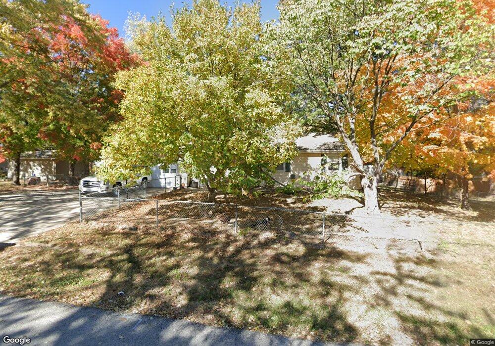
400 Campbell Drive Ct Liberty, MO 64068
Estimated Value: $237,447 - $299,000
3
Beds
--
Bath
1,056
Sq Ft
$241/Sq Ft
Est. Value
About This Home
This home is located at 400 Campbell Drive Ct, Liberty, MO 64068 and is currently estimated at $254,112, approximately $240 per square foot. 400 Campbell Drive Ct is a home located in Clay County with nearby schools including Alexander Doniphan Elementary School, Discovery Middle School, and Liberty High School.
Ownership History
Date
Name
Owned For
Owner Type
Purchase Details
Closed on
Apr 23, 2018
Sold by
Bobo Brandi M and Turpen Brandi M
Bought by
Bobo Brandi M and Bobo Brian C
Current Estimated Value
Purchase Details
Closed on
May 21, 2008
Sold by
Turpen Brendon D and Turpen Leslie D
Bought by
Turpen Brandi M
Home Financials for this Owner
Home Financials are based on the most recent Mortgage that was taken out on this home.
Original Mortgage
$138,444
Outstanding Balance
$87,722
Interest Rate
5.89%
Mortgage Type
FHA
Estimated Equity
$166,390
Purchase Details
Closed on
Nov 24, 2003
Sold by
Culver Nola M
Bought by
Schultz Leslie D and Turpen Brendon D
Home Financials for this Owner
Home Financials are based on the most recent Mortgage that was taken out on this home.
Original Mortgage
$121,600
Interest Rate
5.93%
Mortgage Type
Purchase Money Mortgage
Purchase Details
Closed on
Feb 3, 2000
Sold by
Culver James E
Bought by
Culver James S and Culver Richard D
Create a Home Valuation Report for This Property
The Home Valuation Report is an in-depth analysis detailing your home's value as well as a comparison with similar homes in the area
Home Values in the Area
Average Home Value in this Area
Purchase History
| Date | Buyer | Sale Price | Title Company |
|---|---|---|---|
| Bobo Brandi M | -- | None Available | |
| Turpen Brandi M | -- | Stewart Title Kansas City In | |
| Schultz Leslie D | -- | Thomson Title Corporation | |
| Culver James S | -- | -- |
Source: Public Records
Mortgage History
| Date | Status | Borrower | Loan Amount |
|---|---|---|---|
| Open | Turpen Brandi M | $138,444 | |
| Previous Owner | Schultz Leslie D | $121,600 |
Source: Public Records
Tax History Compared to Growth
Tax History
| Year | Tax Paid | Tax Assessment Tax Assessment Total Assessment is a certain percentage of the fair market value that is determined by local assessors to be the total taxable value of land and additions on the property. | Land | Improvement |
|---|---|---|---|---|
| 2025 | $1,948 | $29,740 | -- | -- |
| 2024 | $1,948 | $26,390 | -- | -- |
| 2023 | $1,977 | $26,390 | $0 | $0 |
| 2022 | $1,865 | $24,620 | $0 | $0 |
| 2021 | $1,873 | $24,624 | $5,890 | $18,734 |
| 2020 | $1,954 | $24,240 | $0 | $0 |
| 2019 | $1,956 | $24,244 | $6,650 | $17,594 |
| 2018 | $1,550 | $18,870 | $0 | $0 |
| 2017 | $1,534 | $18,870 | $3,420 | $15,450 |
| 2016 | $1,534 | $18,870 | $3,420 | $15,450 |
| 2015 | $1,534 | $18,870 | $3,420 | $15,450 |
| 2014 | $1,537 | $18,870 | $3,420 | $15,450 |
Source: Public Records
Map
Nearby Homes
- 1733 Welleslay Ln
- 1507 Amesbury Ave
- 1537 Canterbury Ln
- 1323 Amesbury Ave
- 1991 Harvest Rd
- 1836 Green Meadow Dr
- 1841 Vintage Ln
- 1856 Arbor Trail
- 1852 Vintage Ln
- 1845 Arbor Trail
- 1205 Blackberry Dr
- 1327 Easton Ct
- 2116 Winding Woods Dr
- 1912 Longview Dr
- 1985 Longview Dr
- 1916 Longview Dr
- 1989 Longview Dr
- 1975 Harvest Rd
- 1979 Harvest Rd
- 1971 Harvest Rd