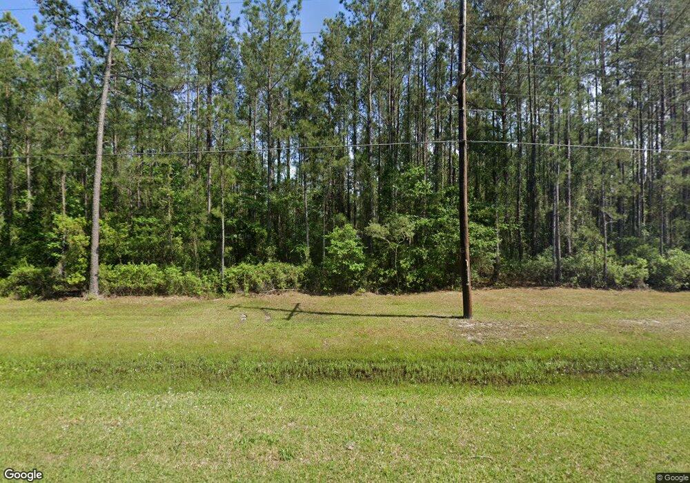
400 Colerain Rd Kingsland, GA 31548
Estimated Value: $559,000 - $722,000
4
Beds
3
Baths
2,491
Sq Ft
$246/Sq Ft
Est. Value
About This Home
This home is located at 400 Colerain Rd, Kingsland, GA 31548 and is currently estimated at $612,445, approximately $245 per square foot. 400 Colerain Rd is a home located in Camden County with nearby schools including Mamie Lou Gross Elementary School, Camden Middle School, and Camden County High School.
Ownership History
Date
Name
Owned For
Owner Type
Purchase Details
Closed on
Feb 27, 2019
Sold by
Whitenack David
Bought by
Zakutansky Timothy D and Zakutansky Jennifer L
Current Estimated Value
Home Financials for this Owner
Home Financials are based on the most recent Mortgage that was taken out on this home.
Original Mortgage
$324,000
Outstanding Balance
$284,851
Interest Rate
4.4%
Mortgage Type
New Conventional
Estimated Equity
$327,594
Purchase Details
Closed on
Apr 9, 2018
Sold by
Hutchens Robert E
Bought by
Whitenack David and Whitenack Emily
Home Financials for this Owner
Home Financials are based on the most recent Mortgage that was taken out on this home.
Original Mortgage
$320,100
Interest Rate
4.46%
Mortgage Type
New Conventional
Purchase Details
Closed on
Jul 8, 2015
Sold by
Rlf Kingsland Properties L
Bought by
Hutchens Robert E and Hutchens Trudy L
Create a Home Valuation Report for This Property
The Home Valuation Report is an in-depth analysis detailing your home's value as well as a comparison with similar homes in the area
Home Values in the Area
Average Home Value in this Area
Purchase History
| Date | Buyer | Sale Price | Title Company |
|---|---|---|---|
| Zakutansky Timothy D | $360,000 | -- | |
| Whitenack David | $330,000 | -- | |
| Hutchens Robert E | $47,000 | -- |
Source: Public Records
Mortgage History
| Date | Status | Borrower | Loan Amount |
|---|---|---|---|
| Open | Zakutansky Timothy D | $324,000 | |
| Previous Owner | Whitenack David | $320,100 |
Source: Public Records
Tax History Compared to Growth
Tax History
| Year | Tax Paid | Tax Assessment Tax Assessment Total Assessment is a certain percentage of the fair market value that is determined by local assessors to be the total taxable value of land and additions on the property. | Land | Improvement |
|---|---|---|---|---|
| 2024 | $3,576 | $182,676 | $31,400 | $151,276 |
| 2023 | $3,566 | $170,201 | $20,191 | $150,010 |
| 2022 | $3,509 | $162,918 | $20,191 | $142,727 |
| 2021 | $3,710 | $132,888 | $20,191 | $112,697 |
| 2020 | $3,677 | $119,555 | $20,191 | $99,364 |
| 2019 | $3,856 | $115,303 | $20,191 | $95,112 |
| 2018 | $3,279 | $114,922 | $20,191 | $94,731 |
| 2017 | $3,128 | $105,738 | $20,191 | $85,547 |
| 2016 | $575 | $20,191 | $20,191 | $0 |
| 2015 | $599 | $20,190 | $20,191 | $0 |
Source: Public Records
Map
Nearby Homes
- 765 Colerain Rd
- 0 Big Pine Drive Tract 9
- 209 Simpson Rd
- 104 Presley Rose Dr
- 1173 Big Pine Dr
- 31.17 Ac Hollow Point Trail
- 100 Hollow Point Trail
- 0 Ashton Ln Unit 1650886
- 232 Woodbridge Rd
- 213 Merriwood Cir
- 213 Grassmere St
- 164 Huntington Dr
- 208 Foxwood Dr
- 129 Longshore Dr
- 615 Breakwater Loop
- 216 Landing Blvd
- 145 W Woodhaven Dr
- 114 Bowline Ln
- 135 W Woodhaven Dr
- 752 Catfish Landing Cir
- 262 Colerain Rd Unit 134B
- 260 Colerain Rd Unit 134B
- 420 Colerain Rd
- 504 Colerain Rd
- 220 Colerain Rd
- 552 Colerain Rd
- 66 Big Pine Dr
- 157 Big Pine Dr
- 243 Big Pine Dr
- 801 Colerain Rd
- 14045 Ga Highway 40 W
- 0 Hwy 40 W Unit 3222720
- 0 Hwy 40 W Unit 7141097
- 0 Hwy 40 W Unit 1558655
- 0 Hwy 40 W Unit 7441387
- 0 Hwy 40 W Unit 3187963
- 463 Big Pine Dr
- 897 Colerain Rd
- 65 Simpson Rd
- 989 Colerain Rd
