400 Crossroads Dr Social Circle, GA 30025
Estimated Value: $367,605 - $402,000
--
Bed
1
Bath
2,328
Sq Ft
$166/Sq Ft
Est. Value
About This Home
This home is located at 400 Crossroads Dr, Social Circle, GA 30025 and is currently estimated at $387,401, approximately $166 per square foot. 400 Crossroads Dr is a home located in Walton County with nearby schools including Social Circle Primary School, Social Circle Elementary School, and Social Circle Middle School.
Ownership History
Date
Name
Owned For
Owner Type
Purchase Details
Closed on
Aug 23, 2007
Sold by
Twin Oaks Construction Llc
Bought by
Flory Scott and Flory Lynn
Current Estimated Value
Home Financials for this Owner
Home Financials are based on the most recent Mortgage that was taken out on this home.
Original Mortgage
$178,400
Outstanding Balance
$112,723
Interest Rate
6.62%
Mortgage Type
New Conventional
Estimated Equity
$274,678
Create a Home Valuation Report for This Property
The Home Valuation Report is an in-depth analysis detailing your home's value as well as a comparison with similar homes in the area
Home Values in the Area
Average Home Value in this Area
Purchase History
| Date | Buyer | Sale Price | Title Company |
|---|---|---|---|
| Flory Scott | $223,000 | -- |
Source: Public Records
Mortgage History
| Date | Status | Borrower | Loan Amount |
|---|---|---|---|
| Open | Flory Scott | $178,400 |
Source: Public Records
Tax History Compared to Growth
Tax History
| Year | Tax Paid | Tax Assessment Tax Assessment Total Assessment is a certain percentage of the fair market value that is determined by local assessors to be the total taxable value of land and additions on the property. | Land | Improvement |
|---|---|---|---|---|
| 2024 | $1,916 | $137,120 | $26,000 | $111,120 |
| 2023 | $1,806 | $123,200 | $22,000 | $101,200 |
| 2022 | $832 | $104,360 | $16,600 | $87,760 |
| 2021 | $832 | $99,800 | $16,000 | $83,800 |
| 2020 | $854 | $91,360 | $14,000 | $77,360 |
| 2019 | $872 | $87,800 | $14,000 | $73,800 |
| 2018 | $872 | $87,800 | $14,000 | $73,800 |
| 2017 | $3,786 | $90,600 | $16,800 | $73,800 |
| 2016 | $832 | $77,480 | $16,800 | $60,680 |
| 2015 | $676 | $64,400 | $15,200 | $49,200 |
| 2014 | $651 | $59,280 | $0 | $0 |
Source: Public Records
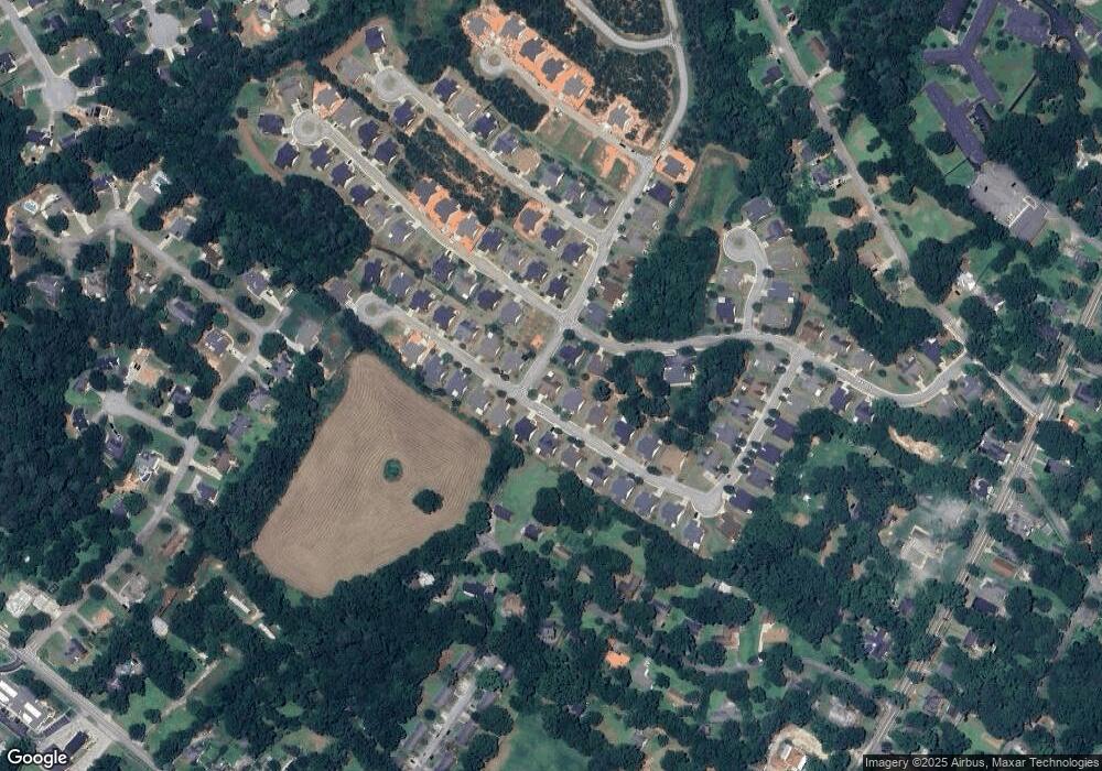
Map
Nearby Homes
- 381 Crossroads Dr
- 413 Crossroads Dr
- 310 Crossroads Dr
- 210 Park Place Trail
- 215 Park Place Trail
- 939 Park Place St
- 690 Park Place Way
- 695 Park Place Way
- The Trenton Plan at Town Park
- The Scottsdale Plan at Town Park
- 1007 Towne Cir
- 967 Park Place St
- 2049 Emily Dr
- 357 W Hightower Trail
- 127 Holly St NE
- 1244 Morrow Dr
- 159 S Forest Ave
- 304 Dogwood Ave
- 443 Windsong Ln
- 228 Oak Dr NE
- 390 Crossroads Dr
- 132 Park Place Trail
- 410 Crossroads Dr
- 129 Park Place Trail
- 185 Park Place Trail
- 401 Crossroads Dr
- 380 Crossroads Dr Unit 66
- 380 Crossroads Dr
- 407 Crossroads Dr
- 391 Crossroads Dr
- 420 Crossroads Dr
- 151 Park Place Trail
- 370 Crossroads Dr
- 625 Park Place Way
- 614 Park Place Way
- 423 Crossroads Dr
- 430 Crossroads Dr
- 140 Park Place Trail
- 371 Crossroads Dr
- 0 Park Place Trail Unit 8825025