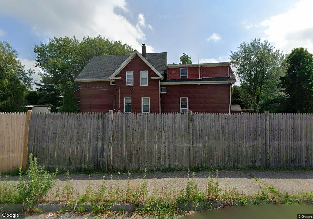
400 Danforth St Taunton, MA 02780
Whittenton NeighborhoodEstimated Value: $505,402 - $664,000
3
Beds
2
Baths
2,062
Sq Ft
$274/Sq Ft
Est. Value
About This Home
This home is located at 400 Danforth St, Taunton, MA 02780 and is currently estimated at $564,351, approximately $273 per square foot. 400 Danforth St is a home located in Bristol County with nearby schools including Hopewell, Benjamin Friedman Middle School, and Taunton High School.
Ownership History
Date
Name
Owned For
Owner Type
Purchase Details
Closed on
Mar 31, 1997
Sold by
Amaral Lorraine A
Bought by
Fagan Michael P and Fagan Jennifer
Current Estimated Value
Create a Home Valuation Report for This Property
The Home Valuation Report is an in-depth analysis detailing your home's value as well as a comparison with similar homes in the area
Home Values in the Area
Average Home Value in this Area
Purchase History
| Date | Buyer | Sale Price | Title Company |
|---|---|---|---|
| Fagan Michael P | $114,000 | -- |
Source: Public Records
Mortgage History
| Date | Status | Borrower | Loan Amount |
|---|---|---|---|
| Open | Fagan Michael P | $236,800 | |
| Closed | Fagan Michael P | $180,000 |
Source: Public Records
Tax History
| Year | Tax Paid | Tax Assessment Tax Assessment Total Assessment is a certain percentage of the fair market value that is determined by local assessors to be the total taxable value of land and additions on the property. | Land | Improvement |
|---|---|---|---|---|
| 2025 | $4,815 | $440,100 | $131,500 | $308,600 |
| 2024 | $4,324 | $386,400 | $131,500 | $254,900 |
| 2023 | $4,262 | $353,700 | $131,500 | $222,200 |
| 2022 | $4,066 | $308,500 | $109,600 | $198,900 |
| 2021 | $3,908 | $275,200 | $99,600 | $175,600 |
| 2020 | $3,766 | $253,400 | $99,600 | $153,800 |
| 2019 | $3,696 | $234,500 | $104,000 | $130,500 |
| 2018 | $3,666 | $233,200 | $105,000 | $128,200 |
| 2017 | $3,320 | $211,300 | $99,900 | $111,400 |
| 2016 | $3,219 | $205,300 | $97,000 | $108,300 |
| 2015 | $3,185 | $212,200 | $97,500 | $114,700 |
| 2014 | $3,124 | $213,800 | $97,500 | $116,300 |
Source: Public Records
Map
Nearby Homes
- 399 Danforth St
- 17 Green St
- 5 Green St
- 160 Bay St
- 13 King St
- 10 Jefferson Ave
- 5 State St
- 29 Jefferson St
- 168 Broadway
- 1 Elizabeth St
- 34 Warren St
- 60 Danforth St
- 40 Filipe Way Unit B
- 110 Eldridge St Unit B
- 240 Washington St
- 214 Eldridge St
- 0 Whittenton St
- 10 Johnny Mac Way Unit B
- 256 Broadway
- 4 E Broadway
- 403 Danforth St
- 407 Danforth St
- 409 Danforth St
- 70 Johnny Mac Way Unit 70A
- 70 Johnny Mac Way Unit 70B
- 34 Green St
- 411 Danforth St
- 413 Danforth St
- 413 Danforth St Unit 1
- 32 Green St
- 100 Green St
- 415 Danforth St
- 415 Danforth St Unit 1
- 415 Danforth St Unit 3
- 415 Danforth St Unit 2
- 417 Danforth St
- 417 Danforth St Unit 1
- 1 Hopewell St
- 3 Hopewell St
- 7 Hopewell St
Your Personal Tour Guide
Ask me questions while you tour the home.