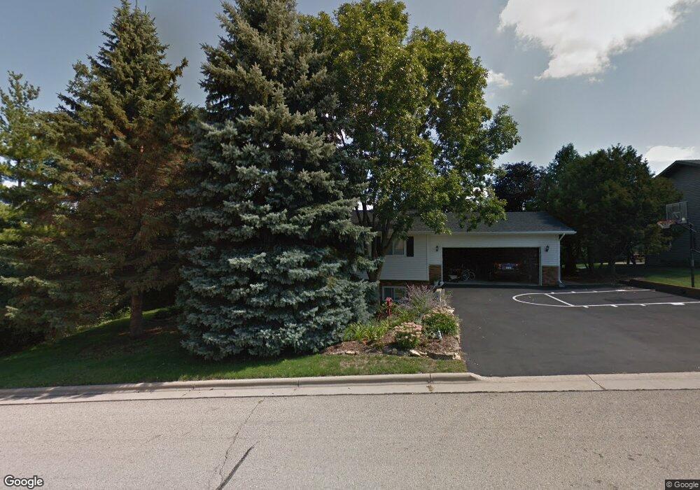
400 Durst Rd New Glarus, WI 53574
Estimated Value: $327,860 - $459,000
3
Beds
2
Baths
2,963
Sq Ft
$136/Sq Ft
Est. Value
About This Home
This home is located at 400 Durst Rd, New Glarus, WI 53574 and is currently estimated at $403,465, approximately $136 per square foot. 400 Durst Rd is a home located in Green County with nearby schools including New Glarus Elementary School, New Glarus Middle School, and New Glarus High School.
Ownership History
Date
Name
Owned For
Owner Type
Purchase Details
Closed on
Nov 27, 2019
Sold by
Watrud Wesley W and Watrud Marci A
Bought by
Hulburt Joshua J and Hulburt Marty Jaymie
Current Estimated Value
Home Financials for this Owner
Home Financials are based on the most recent Mortgage that was taken out on this home.
Original Mortgage
$242,250
Outstanding Balance
$210,325
Interest Rate
3.6%
Mortgage Type
New Conventional
Estimated Equity
$193,140
Create a Home Valuation Report for This Property
The Home Valuation Report is an in-depth analysis detailing your home's value as well as a comparison with similar homes in the area
Home Values in the Area
Average Home Value in this Area
Purchase History
| Date | Buyer | Sale Price | Title Company |
|---|---|---|---|
| Hulburt Joshua J | $255,000 | Knight Barry Title Svcs Llc |
Source: Public Records
Mortgage History
| Date | Status | Borrower | Loan Amount |
|---|---|---|---|
| Open | Hulburt Joshua J | $242,250 |
Source: Public Records
Tax History
| Year | Tax Paid | Tax Assessment Tax Assessment Total Assessment is a certain percentage of the fair market value that is determined by local assessors to be the total taxable value of land and additions on the property. | Land | Improvement |
|---|---|---|---|---|
| 2025 | $6,318 | $339,100 | $71,800 | $267,300 |
| 2024 | $6,179 | $339,100 | $71,800 | $267,300 |
| 2023 | $6,125 | $339,100 | $71,800 | $267,300 |
| 2022 | $5,643 | $202,300 | $51,000 | $151,300 |
| 2021 | $5,259 | $202,300 | $51,000 | $151,300 |
| 2020 | $5,292 | $202,300 | $51,000 | $151,300 |
| 2019 | $5,051 | $202,300 | $51,000 | $151,300 |
| 2018 | $4,930 | $202,300 | $51,000 | $151,300 |
| 2017 | $4,740 | $202,300 | $51,000 | $151,300 |
| 2016 | $4,574 | $181,400 | $51,000 | $130,400 |
| 2014 | $4,242 | $181,400 | $51,000 | $130,400 |
Source: Public Records
Map
Nearby Homes
- 122 Hillside Cir
- Lot 27 Wisconsin 39
- Lot 28 Wisconsin 39
- 42.81 Acres Wisconsin 39
- 518 2nd Ave
- 410 4th Ave
- 55 2nd St
- 1001 4th St
- 118 1st Ave
- 112 13th Ave
- 112 Valle Tell Dr
- Lot 30 Sandrock Rd
- W5481 Timber Ln
- Lt 9 Cardinal Crest Ln
- Lot 18 18 0 Acres Hefty Rd
- Lot 17 19 14 Acres Hefty Rd
- 28 Sienna Hills Cir
- Lot 1 CSM 5621 Hustad Valley Rd
- 35 Ac Hustad Valley Rd
- Lot 6 11 5 Acres Hefty Rd
- 412 Durst Rd
- 125 Hillside Cir
- 125 Hillside Haven Cir
- 119 Hillside Cir
- 119 Hillside Haven Cir
- 324 Durst Rd
- 401 Durst Rd
- 418 Durst Rd
- 319 Heidi Ct
- 325 Durst Rd
- 407 Durst Rd
- 113 Hillside Cir
- 113 Hillside Haven Cir
- 318 Durst Rd
- 413 Durst Rd
- 318 Heidi Ct
- 313 Heidi Ct
- 419 Durst Rd
- 130 Hillside Cir
- 130 Hillside Haven Cir
Your Personal Tour Guide
Ask me questions while you tour the home.