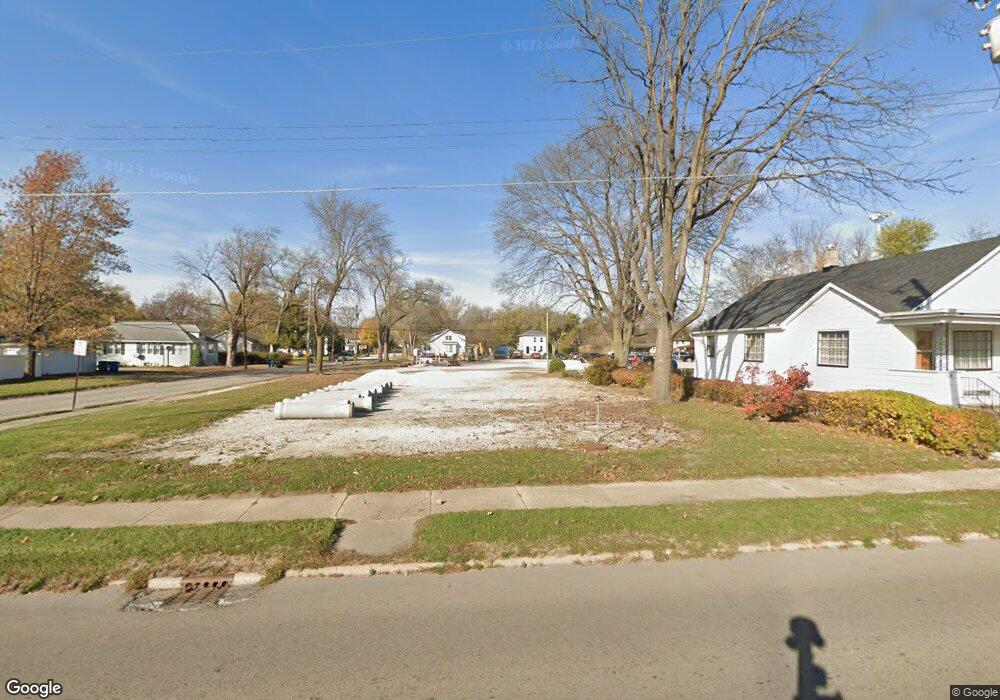
400 E Norris Dr Ottawa, IL 61350
Estimated Value: $263,000
Studio
--
Bath
--
Sq Ft
4,922
Sq Ft Lot
About This Home
This home is located at 400 E Norris Dr, Ottawa, IL 61350 and is currently priced at $263,000. 400 E Norris Dr is a home located in LaSalle County with nearby schools including Ottawa Township High School, Marquette Academy, and Marquette Elementary School.
Ownership History
Date
Name
Owned For
Owner Type
Purchase Details
Closed on
Dec 15, 2025
Sold by
Walsh Rentals Llc 510
Bought by
Sbss Real Estate Llc
Current Estimated Value
Home Financials for this Owner
Home Financials are based on the most recent Mortgage that was taken out on this home.
Original Mortgage
$2,800,000
Outstanding Balance
$2,800,000
Interest Rate
6.5%
Mortgage Type
Commercial
Purchase Details
Closed on
Oct 7, 2015
Sold by
Walsh Phyllis A
Bought by
Walsh Rentals Llc 510
Create a Home Valuation Report for This Property
The Home Valuation Report is an in-depth analysis detailing your home's value as well as a comparison with similar homes in the area
Home Values in the Area
Average Home Value in this Area
Purchase History
| Date | Buyer | Sale Price | Title Company |
|---|---|---|---|
| Sbss Real Estate Llc | $2,800,000 | None Available | |
| Walsh Rentals Llc 510 | -- | -- |
Source: Public Records
Mortgage History
| Date | Status | Borrower | Loan Amount |
|---|---|---|---|
| Open | Sbss Real Estate Llc | $2,800,000 |
Source: Public Records
Tax History
| Year | Tax Paid | Tax Assessment Tax Assessment Total Assessment is a certain percentage of the fair market value that is determined by local assessors to be the total taxable value of land and additions on the property. | Land | Improvement |
|---|---|---|---|---|
| 2024 | $697 | $6,767 | $6,767 | $0 |
| 2023 | $713 | $6,767 | $6,767 | $0 |
| 2022 | $682 | $6,384 | $6,384 | $0 |
| 2021 | $643 | $5,984 | $5,984 | $0 |
| 2020 | $608 | $5,684 | $5,684 | $0 |
| 2019 | $622 | $5,626 | $5,626 | $0 |
| 2018 | $607 | $5,491 | $5,491 | $0 |
| 2017 | $586 | $5,323 | $5,323 | $0 |
| 2016 | $563 | $5,095 | $5,095 | $0 |
| 2015 | $535 | $4,860 | $4,860 | $0 |
| 2012 | -- | $22,197 | $5,313 | $16,884 |
Source: Public Records
Map
Nearby Homes
- 1849 Post St
- 565 E Norris Dr
- 607 E Joliet St
- 1517 La Salle St
- 702 E Joliet St
- 522 E Superior St
- 213 Deleon St
- 1845 La Salle St
- 1116 Paul St
- 713 E Superior St
- 1967 Alinda Ave
- 1956 La Salle St
- 1009 Paul St
- 820 Columbus St
- 2103 Franklin Ave
- 621 Chapel St
- 540 Pearl St
- 314 Congress St
- 1116 Chestnut St
- 2011 Caton Rd
- 1618 Guion St
- 408 E Norris Dr
- 328 E Norris Dr
- 322 E Norris Dr
- 1620 Guion St
- 1621 Guion St
- 316 E Norris Dr
- 323 Nebraska St
- 312 E Norris Dr
- 1628 Guion St
- 321 Nebraska St
- 319 Nebraska St
- 313 Nebraska St
- 306 E Norris Dr
- 402 E Joliet St
- 1702 Guion St
- 300 E Norris Dr
- 301 Nebraska St
- 326 Nebraska St
- 324 Nebraska St
Your Personal Tour Guide
Ask me questions while you tour the home.