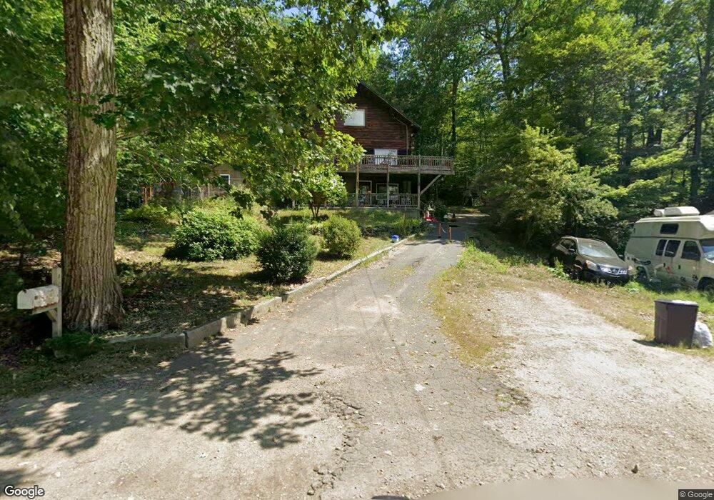
400 East Rd Orange, MA 01364
Estimated Value: $373,000 - $654,000
3
Beds
2
Baths
1,176
Sq Ft
$392/Sq Ft
Est. Value
About This Home
This home is located at 400 East Rd, Orange, MA 01364 and is currently estimated at $461,361, approximately $392 per square foot. 400 East Rd is a home located in Franklin County with nearby schools including Fisher Hill and Ralph C Mahar Regional School.
Ownership History
Date
Name
Owned For
Owner Type
Purchase Details
Closed on
Jul 1, 2005
Sold by
Richard Beth E and Richard David R
Bought by
Wentworth Lori A and Wentworth Robert J
Current Estimated Value
Home Financials for this Owner
Home Financials are based on the most recent Mortgage that was taken out on this home.
Original Mortgage
$257,600
Outstanding Balance
$135,078
Interest Rate
5.73%
Mortgage Type
Purchase Money Mortgage
Estimated Equity
$326,283
Purchase Details
Closed on
Nov 7, 2002
Sold by
Broome Neil M
Bought by
Richard Beth E and Richard David R
Home Financials for this Owner
Home Financials are based on the most recent Mortgage that was taken out on this home.
Original Mortgage
$192,000
Interest Rate
6.04%
Mortgage Type
Purchase Money Mortgage
Create a Home Valuation Report for This Property
The Home Valuation Report is an in-depth analysis detailing your home's value as well as a comparison with similar homes in the area
Home Values in the Area
Average Home Value in this Area
Purchase History
| Date | Buyer | Sale Price | Title Company |
|---|---|---|---|
| Wentworth Lori A | $322,000 | -- | |
| Richard Beth E | $240,000 | -- |
Source: Public Records
Mortgage History
| Date | Status | Borrower | Loan Amount |
|---|---|---|---|
| Open | Wentworth Lori A | $257,600 | |
| Previous Owner | Richard Beth E | $238,000 | |
| Previous Owner | Richard Beth E | $192,000 | |
| Previous Owner | Richard Beth E | $144,450 |
Source: Public Records
Tax History
| Year | Tax Paid | Tax Assessment Tax Assessment Total Assessment is a certain percentage of the fair market value that is determined by local assessors to be the total taxable value of land and additions on the property. | Land | Improvement |
|---|---|---|---|---|
| 2025 | $4,756 | $289,100 | $59,200 | $229,900 |
| 2024 | $4,358 | $249,900 | $59,200 | $190,700 |
| 2023 | $4,028 | $224,300 | $59,200 | $165,100 |
| 2022 | $4,170 | $218,100 | $59,200 | $158,900 |
| 2021 | $4,403 | $219,600 | $75,800 | $143,800 |
| 2020 | $108 | $211,800 | $75,400 | $136,400 |
| 2019 | $4,074 | $180,900 | $65,600 | $115,300 |
| 2018 | $3,736 | $170,300 | $62,600 | $107,700 |
| 2017 | $3,615 | $170,300 | $62,600 | $107,700 |
| 2016 | $3,665 | $168,900 | $62,600 | $106,300 |
| 2015 | $3,502 | $168,600 | $62,600 | $106,000 |
| 2014 | $3,376 | $171,000 | $62,600 | $108,400 |
Source: Public Records
Map
Nearby Homes
- 109 Royalston Rd
- 15 A-B Tully Rd
- 15 Tully Rd
- 660 Pinedale Ave
- 1 Lenox St
- 0 Adams Dr
- 330 N Orange Rd
- 52 East Rd
- 23 Mount Pleasant St
- 0 W Royalston Rd
- 75 C St
- 87 Bellevue Dr E
- 49 Lincoln Ave
- 113 New Athol Rd Unit 35
- 31 Freedom St
- 55 South St
- 212 South St
- 85 Roosevelt Ave
- 15 Wilson Ave
- 116 New Athal Rd
Your Personal Tour Guide
Ask me questions while you tour the home.