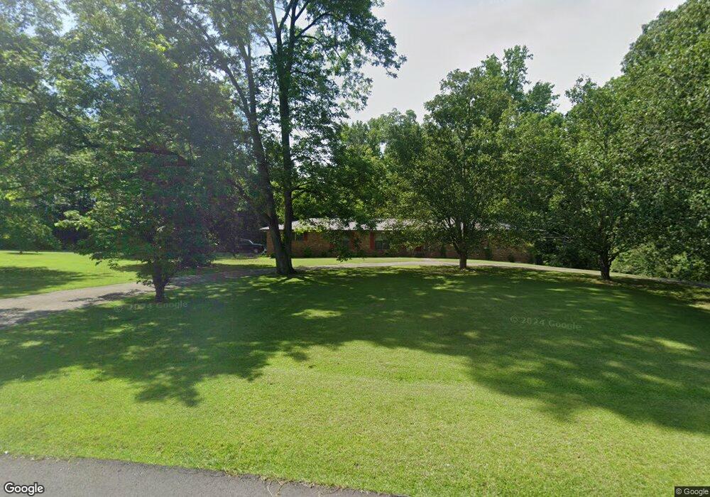
400 Fernway Dr Jasper, AL 35501
Estimated Value: $165,000 - $362,000
--
Bed
--
Bath
800
Sq Ft
$345/Sq Ft
Est. Value
About This Home
This home is located at 400 Fernway Dr, Jasper, AL 35501 and is currently estimated at $276,333, approximately $345 per square foot. 400 Fernway Dr is a home located in Walker County with nearby schools including T. R. Simmons Elementary School, Maddox Intermediate School, and Memorial Park Elementary School.
Ownership History
Date
Name
Owned For
Owner Type
Purchase Details
Closed on
Aug 25, 2022
Sold by
Long Mary L
Bought by
Birdyshaw Amanda L
Current Estimated Value
Purchase Details
Closed on
May 20, 2010
Sold by
Kiefer Christian G and Kiefer Gena F
Bought by
Mcmurray Daniel H and Mcmurray Melissa M
Home Financials for this Owner
Home Financials are based on the most recent Mortgage that was taken out on this home.
Original Mortgage
$132,000
Interest Rate
5.03%
Create a Home Valuation Report for This Property
The Home Valuation Report is an in-depth analysis detailing your home's value as well as a comparison with similar homes in the area
Home Values in the Area
Average Home Value in this Area
Purchase History
| Date | Buyer | Sale Price | Title Company |
|---|---|---|---|
| Birdyshaw Amanda L | $153,000 | Attorney Only | |
| Mcmurray Daniel H | -- | -- |
Source: Public Records
Mortgage History
| Date | Status | Borrower | Loan Amount |
|---|---|---|---|
| Previous Owner | Mcmurray Daniel H | $136,480 | |
| Previous Owner | Mcmurray Daniel H | $132,000 |
Source: Public Records
Tax History Compared to Growth
Tax History
| Year | Tax Paid | Tax Assessment Tax Assessment Total Assessment is a certain percentage of the fair market value that is determined by local assessors to be the total taxable value of land and additions on the property. | Land | Improvement |
|---|---|---|---|---|
| 2024 | $616 | $48,280 | $28,880 | $19,400 |
| 2023 | $598 | $46,840 | $28,880 | $17,960 |
| 2022 | $539 | $42,160 | $26,260 | $15,900 |
| 2021 | $522 | $38,884 | $26,260 | $12,624 |
| 2020 | $497 | $19,480 | $13,140 | $6,340 |
| 2019 | $497 | $19,480 | $13,140 | $6,340 |
| 2018 | $475 | $18,640 | $13,140 | $5,500 |
| 2017 | $475 | $18,640 | $13,140 | $5,500 |
| 2016 | $475 | $18,640 | $13,140 | $5,500 |
| 2015 | $475 | $18,640 | $13,140 | $5,500 |
| 2014 | $477 | $18,700 | $13,140 | $5,560 |
| 2013 | $477 | $18,700 | $13,140 | $5,560 |
Source: Public Records
Map
Nearby Homes
- 303 Forest Ln
- 2305 Wildwood Dr
- 304 Cherokee Dr
- 601 Glen Oaks Cir
- 106 Cherokee Dr
- 2809 Wildwood Dr
- 207 Shererwood Dr
- 0 Jones Dairy Rd Unit 21419563
- 617 Golden Eagle Cir
- 413 Eagles Cir
- LOT 30 14th Ave NE
- DUPONT Plan at Viking Cove
- CABOT Plan at Viking Cove
- ROANOKE Plan at Viking Cove
- 21 Lancelot Cove
- 53 Lancelot Cove
- 1004 Quarry Hill Rd
- 52 Lancelot Cove
- 64 Lancelot Cove
- 88 Lancelot Cove