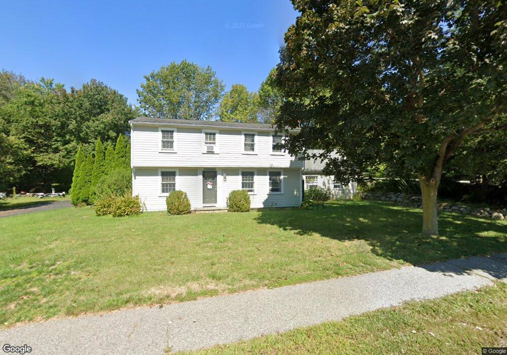
400 First Parish Rd Scituate, MA 02066
Estimated Value: $634,000 - $1,107,000
4
Beds
2
Baths
2,300
Sq Ft
$396/Sq Ft
Est. Value
About This Home
This home is located at 400 First Parish Rd, Scituate, MA 02066 and is currently estimated at $911,101, approximately $396 per square foot. 400 First Parish Rd is a home located in Plymouth County with nearby schools including Cushing Elementary School, Lester J. Gates Middle School, and Scituate High School.
Ownership History
Date
Name
Owned For
Owner Type
Purchase Details
Closed on
Aug 31, 2007
Sold by
Ryan Dorothy A
Bought by
Ryan John F and Ryan Lisa W
Current Estimated Value
Home Financials for this Owner
Home Financials are based on the most recent Mortgage that was taken out on this home.
Original Mortgage
$300,000
Interest Rate
6.71%
Mortgage Type
Purchase Money Mortgage
Purchase Details
Closed on
Oct 1, 2004
Sold by
Diamond Dev Rt
Bought by
Ryan Dorothy A
Create a Home Valuation Report for This Property
The Home Valuation Report is an in-depth analysis detailing your home's value as well as a comparison with similar homes in the area
Home Values in the Area
Average Home Value in this Area
Purchase History
| Date | Buyer | Sale Price | Title Company |
|---|---|---|---|
| Ryan John F | $300,000 | -- | |
| Ryan Dorothy A | -- | -- |
Source: Public Records
Mortgage History
| Date | Status | Borrower | Loan Amount |
|---|---|---|---|
| Open | Ryan Dorothy A | $300,000 | |
| Closed | Ryan Dorothy A | $98,000 | |
| Closed | Ryan Dorothy A | $300,000 |
Source: Public Records
Tax History
| Year | Tax Paid | Tax Assessment Tax Assessment Total Assessment is a certain percentage of the fair market value that is determined by local assessors to be the total taxable value of land and additions on the property. | Land | Improvement |
|---|---|---|---|---|
| 2025 | $7,715 | $772,300 | $374,000 | $398,300 |
| 2024 | $7,569 | $730,600 | $340,000 | $390,600 |
| 2023 | $7,554 | $688,400 | $326,200 | $362,200 |
| 2022 | $7,554 | $598,600 | $294,900 | $303,700 |
| 2021 | $7,366 | $552,600 | $280,900 | $271,700 |
| 2020 | $7,140 | $528,900 | $270,000 | $258,900 |
| 2019 | $6,994 | $509,000 | $264,700 | $244,300 |
| 2018 | $6,646 | $476,400 | $253,900 | $222,500 |
| 2017 | $6,435 | $456,700 | $242,900 | $213,800 |
| 2016 | $6,145 | $434,600 | $220,800 | $213,800 |
| 2015 | $5,693 | $434,600 | $220,800 | $213,800 |
Source: Public Records
Map
Nearby Homes
- 327 Country Way
- 34 Cudworth Rd
- 74 Branch St Unit 15
- 20 Grace Way Unit 20
- 6 Grace Way Unit 6
- 27 Grace Way
- 20 Lawson Rd
- 115 Elm St
- 111 Elm St
- 54 Woodland Rd
- 49 Whittier Dr
- 49 Jackson Rd
- 20 Lee Ave
- 1 Washington Ln
- 59 Captain Peirce Rd
- 124 Captain Peirce Rd
- 627 First Parish Rd
- 98 Satuit Trail
- 38 Lauren Ln
- 629 Country Way
- 406 First Parish Rd
- 401 First Parish Rd
- 6 Cornerstone Ln
- 396 First Parish Rd
- 11 Cornerstone Ln
- 405 First Parish Rd Unit Business
- 405 First Parish Rd
- 405 First Parish Rd Unit B
- 405 First Parish Rd Unit n/a
- 10 Cornerstone Ln
- 392 First Parish Rd
- Lot 12 Deer Common
- Lot 2 Deer Common Dr
- 154 Humarock Beach
- 00 R Elm
- 15 Cornerstone Ln
- 16 Cornerstone Ln
- 418 First Parish Rd Unit 418A
- 418 First Parish Rd
- 18 Cornerstone Ln
Your Personal Tour Guide
Ask me questions while you tour the home.