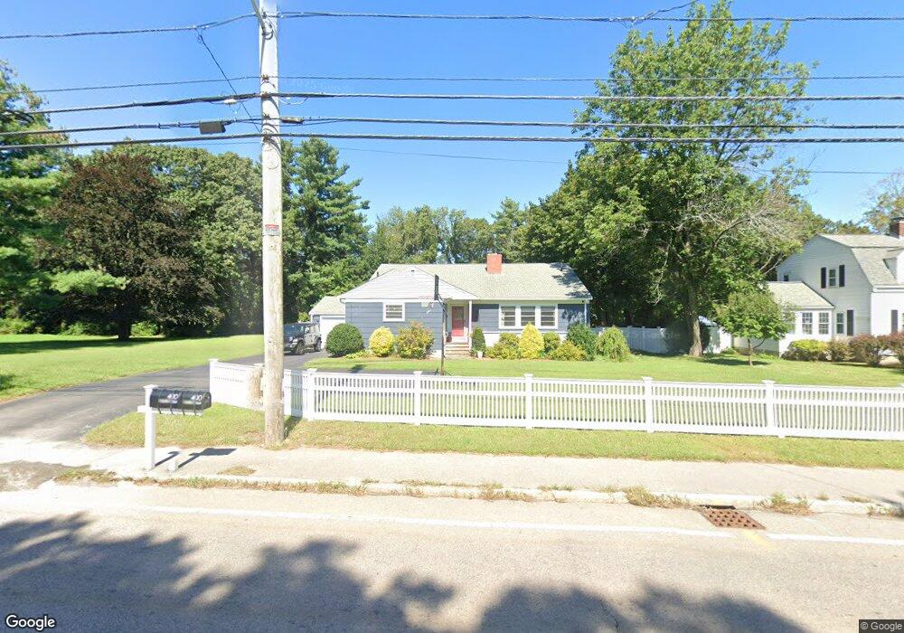
400 Franklin St Wrentham, MA 02093
Estimated Value: $623,000 - $793,000
3
Beds
2
Baths
1,760
Sq Ft
$410/Sq Ft
Est. Value
About This Home
This home is located at 400 Franklin St, Wrentham, MA 02093 and is currently estimated at $722,036, approximately $410 per square foot. 400 Franklin St is a home located in Norfolk County with nearby schools including Delaney Elementary School and Charles E Roderick.
Ownership History
Date
Name
Owned For
Owner Type
Purchase Details
Closed on
May 2, 2013
Sold by
Hefron Peter O
Bought by
Hefron Michael E and Hefron Aimee E
Current Estimated Value
Home Financials for this Owner
Home Financials are based on the most recent Mortgage that was taken out on this home.
Original Mortgage
$243,000
Outstanding Balance
$172,886
Interest Rate
3.57%
Mortgage Type
New Conventional
Estimated Equity
$549,150
Purchase Details
Closed on
Jul 25, 2003
Sold by
Wildwood Ests Of Brain
Bought by
Richardson Jeffrey and Richardson Barbara
Purchase Details
Closed on
Mar 19, 1998
Sold by
Kensingston St Llc
Bought by
Blankenship Clare J
Purchase Details
Closed on
Feb 3, 1992
Sold by
Falcone Tr Joseph V
Bought by
Messina Francis X
Create a Home Valuation Report for This Property
The Home Valuation Report is an in-depth analysis detailing your home's value as well as a comparison with similar homes in the area
Home Values in the Area
Average Home Value in this Area
Purchase History
| Date | Buyer | Sale Price | Title Company |
|---|---|---|---|
| Hefron Michael E | $270,000 | -- | |
| Richardson Jeffrey | $5,000 | -- | |
| Blankenship Clare J | $219,900 | -- | |
| Messina Francis X | $877,532 | -- |
Source: Public Records
Mortgage History
| Date | Status | Borrower | Loan Amount |
|---|---|---|---|
| Open | Hefron Michael E | $243,000 |
Source: Public Records
Tax History Compared to Growth
Tax History
| Year | Tax Paid | Tax Assessment Tax Assessment Total Assessment is a certain percentage of the fair market value that is determined by local assessors to be the total taxable value of land and additions on the property. | Land | Improvement |
|---|---|---|---|---|
| 2025 | $7,335 | $632,900 | $334,100 | $298,800 |
| 2024 | $6,988 | $582,300 | $334,100 | $248,200 |
| 2023 | $6,580 | $521,400 | $303,800 | $217,600 |
| 2022 | $6,415 | $469,300 | $276,100 | $193,200 |
| 2021 | $7,015 | $498,600 | $276,100 | $222,500 |
| 2020 | $5,875 | $412,300 | $227,000 | $185,300 |
| 2019 | $5,822 | $412,300 | $227,000 | $185,300 |
| 2018 | $5,858 | $411,400 | $227,200 | $184,200 |
| 2017 | $5,522 | $387,500 | $222,800 | $164,700 |
| 2016 | $5,398 | $378,000 | $216,400 | $161,600 |
| 2015 | $5,267 | $351,600 | $208,000 | $143,600 |
| 2014 | $5,181 | $338,400 | $200,100 | $138,300 |
Source: Public Records
Map
Nearby Homes
- 570 Franklin St
- 10 Nature View Dr
- 15 Nature View Dr
- 131 Creek St Unit 7
- 50 Reed Fulton Ave Unit Lot 61
- 270 Dedham St
- 45 Joshua Rd
- 246 Forest Grove Ave
- 11 Earle Stewart Ln
- Lot 3 - 14 Earle Stewart Ln
- 1 Lorraine Metcalf Dr
- Lot 1 - Blueberry 2 Car Plan at King Philip Estates
- Lot 8 - Blueberry 2 Car Plan at King Philip Estates
- Lot 6 - Blueberry 3 Car Plan at King Philip Estates
- Lot 2 - Camden 2 Car Plan at King Philip Estates
- Lot 7 - Cedar Plan at King Philip Estates
- Lot 4 - Hemingway 2 Car Plan at King Philip Estates
- Lot 3 - Blueberry 2 Car Plan at King Philip Estates
- 3 Oak Rd
- 362 East St
- 394 Franklin St
- 405 Franklin St
- 391 Franklin St
- 420 Franklin St
- 383 Franklin St
- 388 Franklin St
- 415 Franklin St
- 421 Franklin St
- 380 Franklin St
- 430 Franklin St
- 377 Franklin St
- 371 Franklin St
- 425 Franklin St
- 369 Franklin St
- 431 Franklin St
- 440 Franklin St
- 366 Franklin St
- 359 Franklin St
- 439 Franklin St
- 435 Franklin St