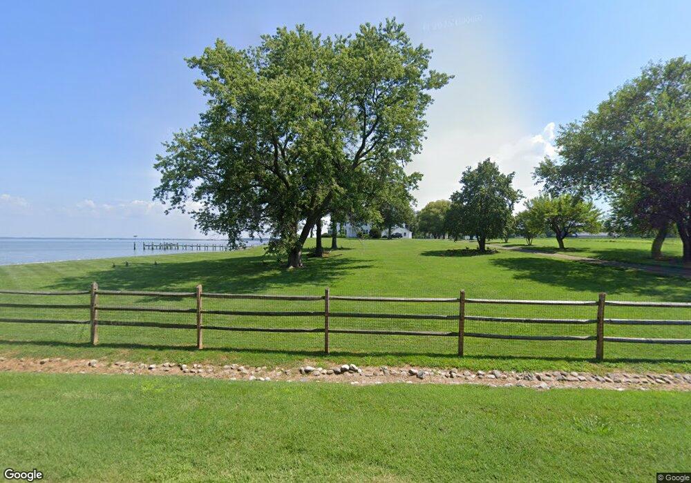
400 Grollman Rd Stevensville, MD 21666
Estimated Value: $598,000 - $1,518,921
--
Bed
3
Baths
1,800
Sq Ft
$588/Sq Ft
Est. Value
About This Home
This home is located at 400 Grollman Rd, Stevensville, MD 21666 and is currently estimated at $1,058,461, approximately $588 per square foot. 400 Grollman Rd is a home located in Queen Anne's County with nearby schools including Kent Island Elementary School, Bayside Elementary School, and Stevensville Middle School.
Ownership History
Date
Name
Owned For
Owner Type
Purchase Details
Closed on
Jan 19, 2023
Sold by
Franey William George
Bought by
William George Franey Revocable Trust and Catherine Theresa Franey Revocable Trust
Current Estimated Value
Purchase Details
Closed on
Jun 8, 1989
Sold by
Wieslander John R and Wieslander Elizabeth P
Bought by
Franey William G and Franey Catherine T
Home Financials for this Owner
Home Financials are based on the most recent Mortgage that was taken out on this home.
Original Mortgage
$700,000
Interest Rate
10.48%
Purchase Details
Closed on
Oct 1, 1984
Sold by
Bastian David F and Bastian Gayle
Bought by
Wieslander John R and Wieslander Elizabeth P
Home Financials for this Owner
Home Financials are based on the most recent Mortgage that was taken out on this home.
Original Mortgage
$56,686
Interest Rate
14.26%
Create a Home Valuation Report for This Property
The Home Valuation Report is an in-depth analysis detailing your home's value as well as a comparison with similar homes in the area
Home Values in the Area
Average Home Value in this Area
Purchase History
| Date | Buyer | Sale Price | Title Company |
|---|---|---|---|
| William George Franey Revocable Trust | -- | -- | |
| William George Franey Revocable Trust | -- | None Listed On Document | |
| Franey William G | $675,000 | -- | |
| Wieslander John R | $205,000 | -- |
Source: Public Records
Mortgage History
| Date | Status | Borrower | Loan Amount |
|---|---|---|---|
| Previous Owner | Franey William G | $700,000 | |
| Previous Owner | Wieslander John R | $56,686 |
Source: Public Records
Tax History Compared to Growth
Tax History
| Year | Tax Paid | Tax Assessment Tax Assessment Total Assessment is a certain percentage of the fair market value that is determined by local assessors to be the total taxable value of land and additions on the property. | Land | Improvement |
|---|---|---|---|---|
| 2025 | $11,617 | $1,220,533 | $0 | $0 |
| 2024 | $11,080 | $1,163,467 | $0 | $0 |
| 2023 | $10,542 | $1,106,400 | $762,700 | $343,700 |
| 2022 | $10,482 | $1,099,967 | $0 | $0 |
| 2021 | $10,546 | $1,093,533 | $0 | $0 |
| 2020 | $10,546 | $1,087,100 | $762,700 | $324,400 |
| 2019 | $10,437 | $1,075,700 | $0 | $0 |
| 2018 | $10,328 | $1,064,300 | $0 | $0 |
| 2017 | $10,218 | $1,052,900 | $0 | $0 |
| 2016 | -- | $1,052,900 | $0 | $0 |
| 2015 | $8,291 | $1,052,900 | $0 | $0 |
| 2014 | $8,291 | $1,151,600 | $0 | $0 |
Source: Public Records
Map
Nearby Homes
- 220 Old Steamship Rd
- 914 Petinot Place
- 922 Petinot Place
- 10 Genevieve Ct
- 822 Kimberly Way
- 961 Cloverfields Dr
- 3 Ackerman Ct
- 238 Nichols Manor Dr
- 630 Warbler Way Unit 2212
- 630 Warbler Way Unit 33
- 630 Warbler Way Unit 2224
- 630 Warbler Way Unit 12
- 630 Warbler Way Unit 2223
- 630 Warbler Way Unit 2222
- 630 Warbler Way Unit 2232
- 630 Warbler Way Unit 24
- 630 Warbler Way Unit 32
- 630 Warbler Way Unit 2233
- 630 Warbler Way Unit 2211
- 630 Warbler Way Unit 2221
- 360 Grollman Rd
- 401 Grollman Rd
- 916 Monroe Manor Rd
- 918 Monroe Manor Rd
- 914 Monroe Manor Rd
- 920 Monroe Manor Rd
- 912 Monroe Manor Rd
- 922 Monroe Manor Rd
- 924 Monroe Manor Rd
- 910 Monroe Manor Rd
- 926 Monroe Manor Rd
- 904 Monroe Manor Rd
- 928 Monroe Manor Rd
- 930 Monroe Manor Rd
- 902 Monroe Manor Rd
- 932 Monroe Manor Rd
- 5 Manor Ct
- 900 Monroe Manor Rd
- 936 Monroe Manor Rd
- 917 Monroe Manor Rd