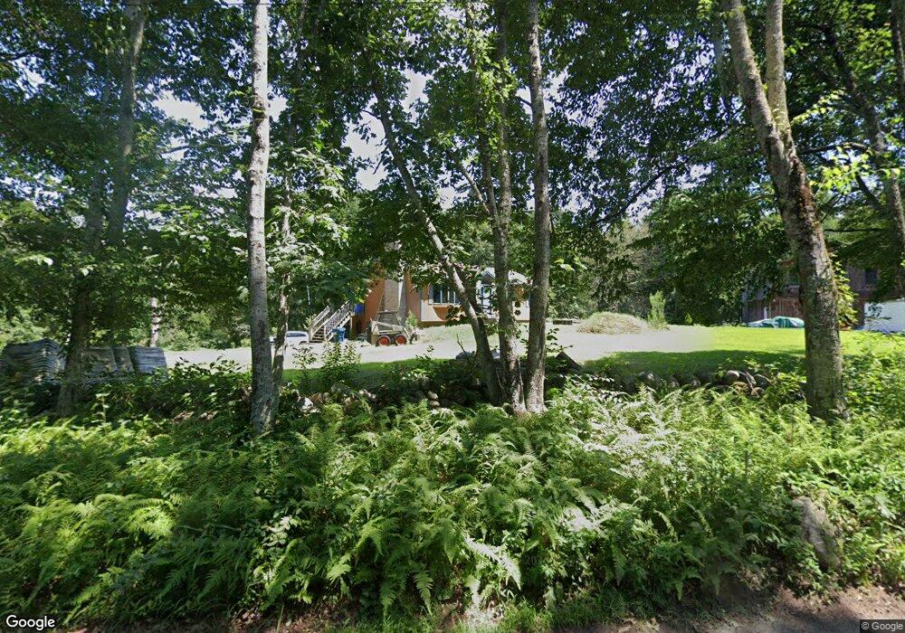
400 Hazard Rd West Greenwich, RI 02817
Estimated Value: $355,000 - $497,895
3
Beds
2
Baths
2,536
Sq Ft
$162/Sq Ft
Est. Value
About This Home
This home is located at 400 Hazard Rd, West Greenwich, RI 02817 and is currently estimated at $411,224, approximately $162 per square foot. 400 Hazard Rd is a home located in Kent County with nearby schools including Mildred E. Lineham School, Metcalf School, and Wawaloam School.
Ownership History
Date
Name
Owned For
Owner Type
Purchase Details
Closed on
May 20, 2025
Sold by
Strynar Carl E
Bought by
Peterson Meagan A
Current Estimated Value
Home Financials for this Owner
Home Financials are based on the most recent Mortgage that was taken out on this home.
Original Mortgage
$315,000
Outstanding Balance
$313,878
Interest Rate
6.62%
Mortgage Type
Purchase Money Mortgage
Estimated Equity
$97,346
Purchase Details
Closed on
Dec 10, 2014
Sold by
Strynar 3Rd Carl E
Bought by
Rhode Island State Of
Purchase Details
Closed on
Nov 10, 2011
Sold by
Duston Forrest A and Duston Carrali
Bought by
Strynar 2Nd Carl E
Home Financials for this Owner
Home Financials are based on the most recent Mortgage that was taken out on this home.
Original Mortgage
$195,000
Interest Rate
4.01%
Purchase Details
Closed on
Nov 23, 1999
Sold by
Izbicki Thomas and Izbicki Patricia S
Bought by
Duston Forrest A and Duston Carmen R
Create a Home Valuation Report for This Property
The Home Valuation Report is an in-depth analysis detailing your home's value as well as a comparison with similar homes in the area
Home Values in the Area
Average Home Value in this Area
Purchase History
| Date | Buyer | Sale Price | Title Company |
|---|---|---|---|
| Peterson Meagan A | $350,000 | None Available | |
| Peterson Meagan A | $350,000 | None Available | |
| Rhode Island State Of | $10,000 | -- | |
| Rhode Island State Of | $10,000 | -- | |
| Strynar 2Nd Carl E | $195,000 | -- | |
| Duston Forrest A | -- | -- | |
| Duston Forrest A | -- | -- | |
| Duston Forrest A | $195,000 | -- | |
| Duston Forrest A | $195,000 | -- |
Source: Public Records
Mortgage History
| Date | Status | Borrower | Loan Amount |
|---|---|---|---|
| Open | Peterson Meagan A | $315,000 | |
| Closed | Peterson Meagan A | $315,000 | |
| Previous Owner | Duston Forrest A | $195,000 | |
| Previous Owner | Duston Forrest A | $0 |
Source: Public Records
Tax History Compared to Growth
Tax History
| Year | Tax Paid | Tax Assessment Tax Assessment Total Assessment is a certain percentage of the fair market value that is determined by local assessors to be the total taxable value of land and additions on the property. | Land | Improvement |
|---|---|---|---|---|
| 2024 | $5,930 | $370,600 | $154,400 | $216,200 |
| 2023 | $6,976 | $284,600 | $118,700 | $165,900 |
| 2022 | $6,976 | $284,600 | $118,700 | $165,900 |
| 2021 | $6,839 | $284,600 | $118,700 | $165,900 |
| 2020 | $6,771 | $284,600 | $118,700 | $165,900 |
| 2019 | $6,122 | $253,300 | $118,700 | $134,600 |
| 2018 | $5,336 | $225,200 | $99,500 | $125,700 |
| 2017 | $5,078 | $225,200 | $99,500 | $125,700 |
| 2016 | $5,371 | $238,200 | $95,400 | $142,800 |
| 2015 | $5,371 | $238,200 | $95,400 | $142,800 |
| 2013 | $5,417 | $240,200 | $113,000 | $127,200 |
Source: Public Records
Map
Nearby Homes
- 112 Bailey Pond Rd
- 445 Plain Rd
- 453 Plain Rd
- 01 Stubble Brook Rd
- 367 Pine Hill Rd
- 64 Knight View Dr
- 47 N Shore Rd
- 40 Tanglewood Ln
- 19 N Shore Rd
- 5 Laurel Dr
- 628 Beach Pond Rd
- 532 Lewis Farm Rd
- 126 Pine Hill Rd
- 176 Hopkins Hollow Rd
- 234 John Potter Rd
- 38 Deerfield Dr
- 211 Victory Hwy
- 6356 Flat River Rd
- 417 Victory Hwy
- 18 Ledge Hill Rd
- 410 Hazard Rd
- 430 Hazard Rd
- 447 Hazard Rd
- 340 Hazard Rd
- 330 Hazard Rd
- 64 Bailey Pond Rd
- 318 Hazard Rd
- 479 Hazard Rd
- 124 Muddy Brook Rd
- 116 Muddy Brook Rd
- 27 Mohunganuck Trail
- 104 Muddy Brook Rd
- 110 Muddy Brook Rd
- 3 Micmac Trail
- 94 Muddy Brook Rd
- 96 Muddy Brook Rd
- 19 Bailey Pond Rd
- 28 Mohunganuck Trail
- 19 Mohunganuck Trail
- 23 Bailey Pond Rd